A bit of NE windswell for the early

Hello Friends, NE magnets were delivering soft but rideable waist to chest high waves as Saturday kicked off in sunny style. It looked to be a bit of a wait between rideable ones too. Wind blew all night and was 6-9 kts at 0700. It’ll get up to 15-20 kts as the day goes along. […]
Waves about for Saturday morning
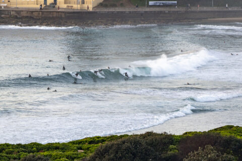
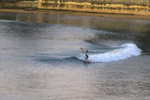
Hello Friends, Light NW wind and a metre and a bit of 8-second ESE was delivering waist to the occasional plus all along the beaches. And as the pictures show, there were plenty of surfers in the water by 0630. Tide was coming off the predawn low at 0410 and will hit the 1.67m high […]
Sunny and a bit smoky Saturday
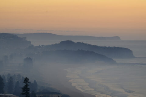
Hello Friends, Heaps of smoke across the Warriewood-Narrabeen suburbs at daybreak, but pretty much clear around at Dee Why – Long Reef. There is a small south swell focusing in at a few points along the beaches. Set wave faces were up to shoulder high, but most places are a lot smaller than that. Plus […]
Hello Friends, Clear skies overhead at daybreak along the beaches. Swell out at sea has dropped a bit overnight with the buoys reporting 1.4 metres of 10-11 second energy from the SE (147°). Wind was westerly 12-16 kts at sunrise and should stay that way this morning before gradually swing toward the southerly quarters by […]
Sunny Saturday surfing in Sydney
Hello Friends, Barely a cloud in the sky at daybreak. Wind was coming from the WNW at 11-12 kts, tide was just dropping to the low at 0910 and out at sea the swell was 1.5 metres at 8 seconds from the ENE (77°). We’re heading to a coolish high of 18C – which is […]
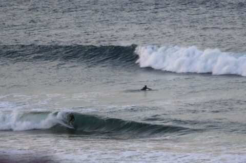
You’ll need to be lucky
Hello Friends, At day break, swell at sea was 0.8 metres at 13-sec from 173°. Sky was mostly clear and wind was 10-16 kts from the NW. Despite being pretty much flat most of the time, there were little sets in the knee to waist plus range at the usual south exposures. As the pictures […]
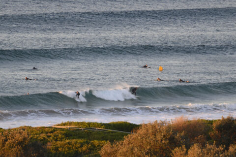
So-so Saturday surf
Hello Friends, At daybreak the wind was out of the west at 8-9 kts, air temp was 8C and the swell at sea was a metre at 9 seconds and coming from the SSE (168°). Skies were mostly clear and tide was dropping to the 0.45 m low at 1040. The weather forecast is calling […]
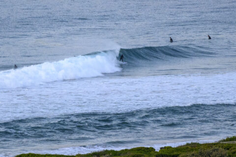
Swell’s back
Hello Friends, As of 0800 the wind was WNW at 10 kts and swell at sea was 1.8 metres and coming from the south at 9 seconds. Tide was coming off the 0700 low and will be back to a modest 1.2 m high at 1300. Did the Manly run this morning and on the […]
Windy weekend ahead
Hello Friends, Wind was coming lightly from the NW at daybreak and out at sea the swell was 1.5 metres from 158° at 9 seconds apart. Sea temperature was 20C and tide was coming in to the 1.3 m high at 1035. Plenty of chest high surf options around as Saturday got started along the […]
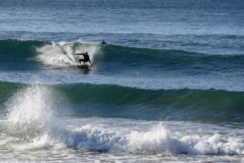
Still big on Saturday morning
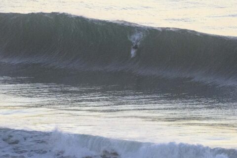
Hello Friends, Daybreak on Saturday saw mainly clear skies and only a light 6 kt WNW breeze. Swell out at sea was 3 metres at 12 seconds from the east. Tide hit high at 0600 and will be back to low at 1215. Bomb sets at magnets were into the 3 metre range this morning […]