Showery with shoulder high sets
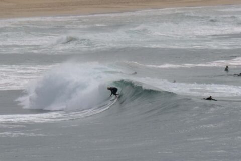
Hello Friends, Passing showers this morning seem to have damped the crowds for the early session at Dee Why. Wind was WNW at 11-15kts before 0800, but the southerly was smashing into Wattamolla at 22-28 kts, so the comparatively approachable conditions were about to disappear. It’s Thursday, so that means we can look forward to […]
Soft little lines showing
Hello Friends, The fade continues and we’re now down to weak looking and soft knee to maybe waist high on the bomb sets at magnet spots. Skies were mostly overcast and there’s a 70% chance of showers in the forecast. Wind was coming from the north at 6-8 kts before 0800 and swell was 1.1 […]
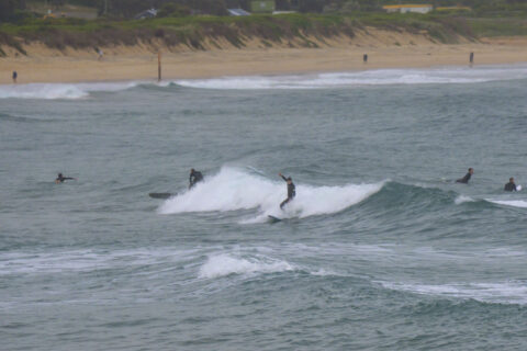
Waves around the place this morning
Hello Friends, Swell’s backed off some more, as expected, but there are still waist to even shoulder plus sets left in the mix at the biggest exposures. Out at sea the buoys are picking up 1.4 metres of 10-sec stuff from 130° and along the beaches, the wind was NW at 5-6 kts under high […]
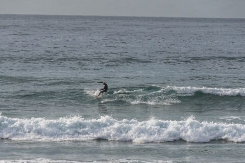
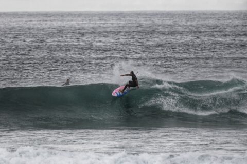
Cold, clean and tiny
Hello Friends, Another day of microscopic surf conditions for World Ocean Day. The best wave I saw was the one shown below at Queenscliff. Super clean and pretty, but very short period – and the crew on ’em were doing a lot of waiting. Air temp was 11C but the 15 kt WNW made it […]
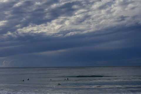
Still big this morning
Hello Friends, As of 0730, wind was NNW at 5-6 kts under partly cloudy skies and air temp was 10 C. Swell was still marching in too, with double overhead sets shutting down Dee Why point every now and then. Out at sea the waverider buoys were detecting a mix of 9-13 second 2-3 metre […]
Just another manic Monday
Hello Friends, And the swell continues to thunder in. It was raw and 1.5x-2x overhead at Dee Why point. Quality was so-so, but there was no lack of power. Tide was low at 0640, so the morning session will have a bit of tidal push too as it comes into the modest 1.34 m high […]
More waves for Wednesday
Hello Friends, And the amazing Autumn of 2021 continues. As of 0730 the swell was 1.5 metres at 13 seconds from the SE (165°) and wind was 10 kts from the west. Tide is low at 0800 and a modest 1.26 m high arrives at 1410. Did the Manly run and can report that wave […]
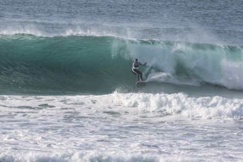
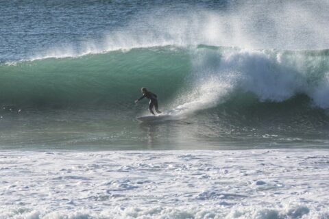
Fading but fun ones still in the mix
Hello Friends, It’s a get out there and get one while you can morning in Sydney. Tide was high at 0720 and will be back to low at 1320. It should be sunny all day, but the wind will gradually get more north in it and chew up the south ends. Swell is definitely on […]
Wild and Woolly Thursday
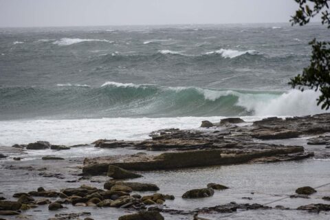
Hello Friends, Apart from the Bower and south Steyne, I didn’t see anyone in the water from Manly to Dee Why. And for good reason. Both those places were surprisingly weak looking and unimpressive at this stage of the swell, plus the water looked pretty ordinary (beach watch is warning pollution possible). Everywhere else was […]
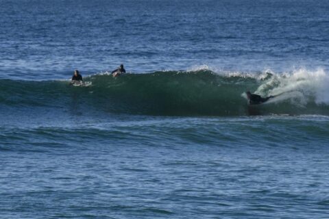
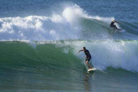
Fun size and clean early
Hello Friends, Mostly overcast and rain-promising skies this morning. But wind was light early so surface conditions were smooth and better than that the 1.7 metre 10+ second SE swell was producing shoulder plus sets at better exposures. The marine forecast tells us the Bureau expects the low offshore to deepen – meaning both an […]