Marginal at best this morning
Hello Friends, Not the prettiest morning and not much in the way of wave energy, but it’s not quite as flat as yesterday. The MHL buoy is showing 2 metres of 8 sec SE wind swell, so we’re looking at waist-ish at the bigger spots I’d say. Wind was light westerly when I grabbed the […]
Scrappy again for Tuesday morning

Hello Friends, Yesterday’s blustry conditions have abated overnight and left Dee Why with some waist to chest plus SE wind swell. It’s sorta messy and a high percentage of waves coming into the beach seemed to be a struggle to get into – and then they mostly shut down. More for the exercise than the […]
Rainy Tuesday morning
Hello Friends, Had to wait for the weather to lift enough to see what was going on at the beach this morning. According to the MHL data, the SE swell is around two metres at about 9 seconds apart. At Dee Why that means some waist to chest high bumps on a high tide peak […]
Small looking
Hello Friends, It looks as though I chose a relatively good time – from a surf perspective – to be away from Sydney. The MHL Sydney buoy is showing a couple metres of 8 second SE swell whilst the wind reports indicate light SE seabreezes as of 1000. I’d say that given the numbers, the […]
Another morning of minorness
Hello Friends, Swell hasn’t really perked by much at all overnight. The energy is coming from the SE quarter, but despite being a couple metres on average, it’s still just short period, locally generated 8 second period wind swell. Wind is out of the south at 15-20 kts. At Dee Why the combo translated into […]
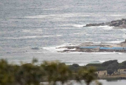
Fading in the heavy rain
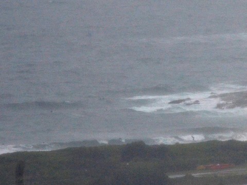
Hello Friends, Visibility from the RealSurf crow’s nest is maybe 500 metres as I write this around 0900, so no pictures from me. yet. The MHL buoy is showing about two metres of 8 second period SE swell. That’s about the same size as yesterday for the swell, but the period is now 20% shorter […]
Hello Friends, Your correspondent is feeling slightly miffed. Here in southern California it’s a case of spring wavelessness, but Sydney looks like getting a whack of swell on Monday – albeit with a fair old serve of southerly for the early. This morning’s outlook will be explored in greater detail by the Goat during his […]
PICS by Don: South Curly, Sat morning 13/8/11
Saturday morning delivered a small SE swell to Sydney’s Curl Curl beach and I was on hand to shoot it from around 1015 to 1115. Waves were on the soft side it has to be said, but there were definitely a few fun little sections along with the very occasional head high plus bomb set. […]
Hey whadya know? Waves to start out the day
Hello Friends, I love being wrong when it comes to the surf. Last night it looked as though we’d have messy and tiny conditions with grey skies. But Huey had a different idea and whilst the swell energy levels and direction haven’t changed much (it’s out of the SE at about 2 metres at sea […]
Postcard from Cali + Sydney surf thoughts
Hello Friends, Tide’s low a little after 1100 in Sydney and the wind’s supposed to be out of the SE by then. It was showing as NE at North Head when I started tapping this out at a little after 0700 – which is kinda weird since the radar’s showing a steady line of rain […]