Hello Friends,
That muffled thump you heard overnight was Huey falling into a stupor. He started looking under the weather at around lunchtime yesterday when the average period of our little ESE windswell started to drop from a barely adequate 8 seconds. Overnight the power setting has slipped down to 6 seconds. And just to help things along, the primary direction has swung to the south. It’s averaging around a metre at sea, so the best you can hope for will be set waves with faces in the 0.5 to 1 metre.

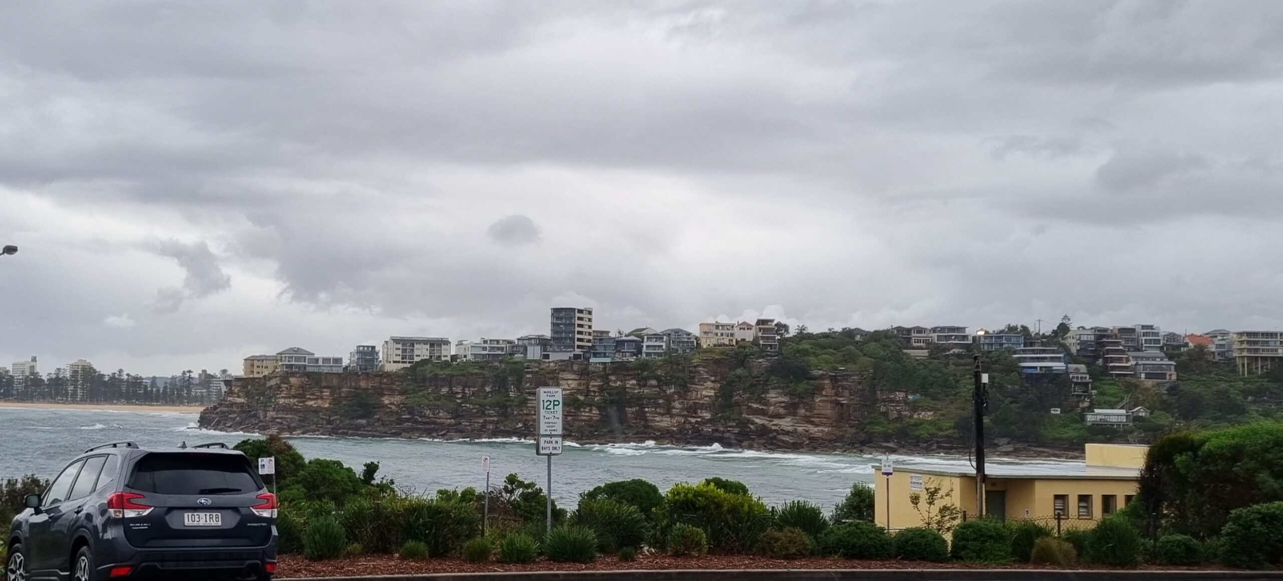
I checked the Collaroy-Narrabeen stretch first this morning, and the sight was not too inspiring. There didn’t seem to be anyone in the water along the stretch, and for very good reason – there really aren’t any waves. The only thing I saw that looked like a wave was a little baby peak just south of Marquesas. I got a snap of it folding over, but you’d need to have been about 0.5 metre tall to do much with it.
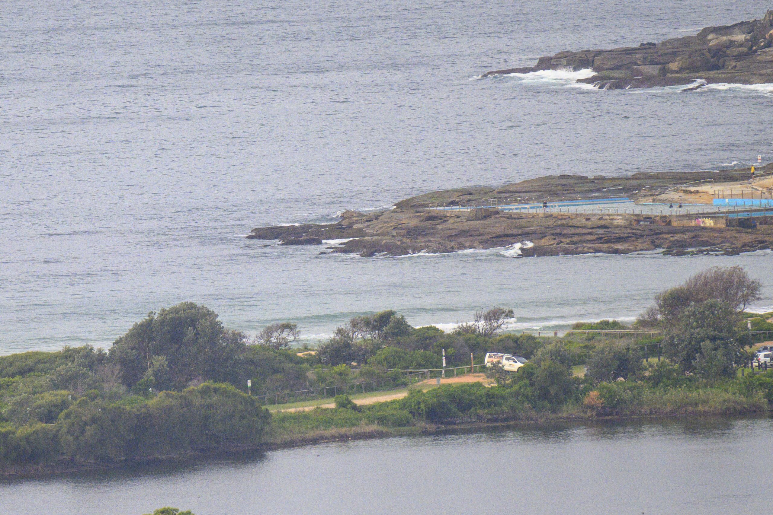
Around the corner at Longy, the situation was just as dire. I didn’t see anything resembling a wave from Dontals-Butterbox to the pole. And from the pole to Dee Why point wasn’t dramatically better. As the picture below shows, it’s just weak and gutless little stuff coming feebily in.

Here’s the latest from the Bureau:
Sydney Coastal Waters, Broken Bay to Port Hacking and 60nm seawards:
Thursday until midnight: Wind: S/SE 15/20 knots, easing to 10/15 knots later.Sea: 1 to 2 metres. Swell: SE about 1 metre.
Friday: Wind: S/SE 10/15 knots, turning NE 10/15 knots in the afternoon or evening.Sea: about 1 metre. Swell: SE 1 to 1.5 metres.
Saturday: Wind: NW/NE winds 10/15 knots, increasing to 15/20 knots in the afternoon.
Interestingly, the models are suggesting that we could see a slight increase from the south as the day goes along. But since the period is unlikely to improve much, if the swell does pick up, it will be focused on places with the best exposure to the south.
Outlook for the next week remains for marginal to near flat conditions along the east coast. The models show a fairly intense system spinning up in the bight region early next week. If that system does get going, and if it doesn’t get deflected by the trans Tasman high, and if it comes around Tasmania and into our swell window… we could have swell next weekend! I should go into economic forecasting eh?
Have yourself a top old day and go well with your plans.


