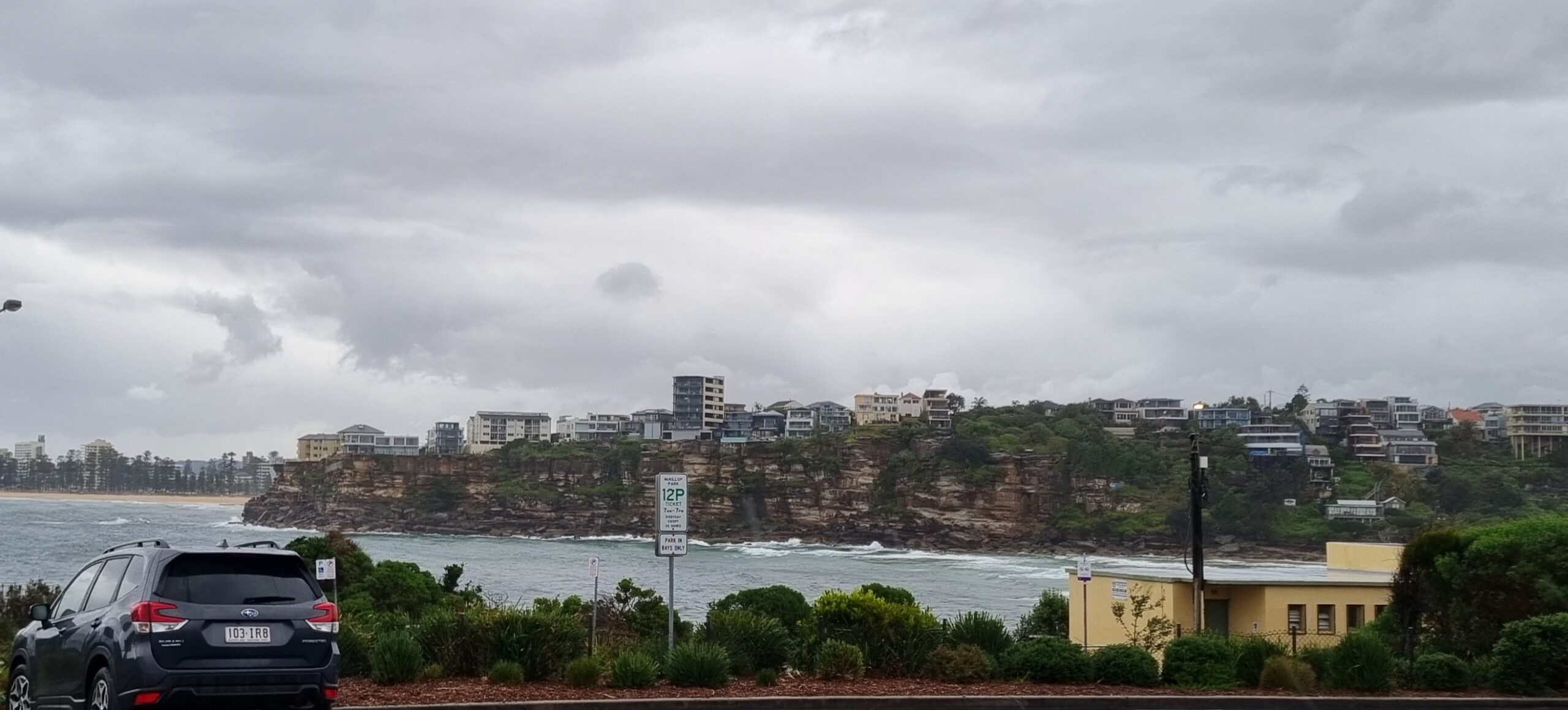
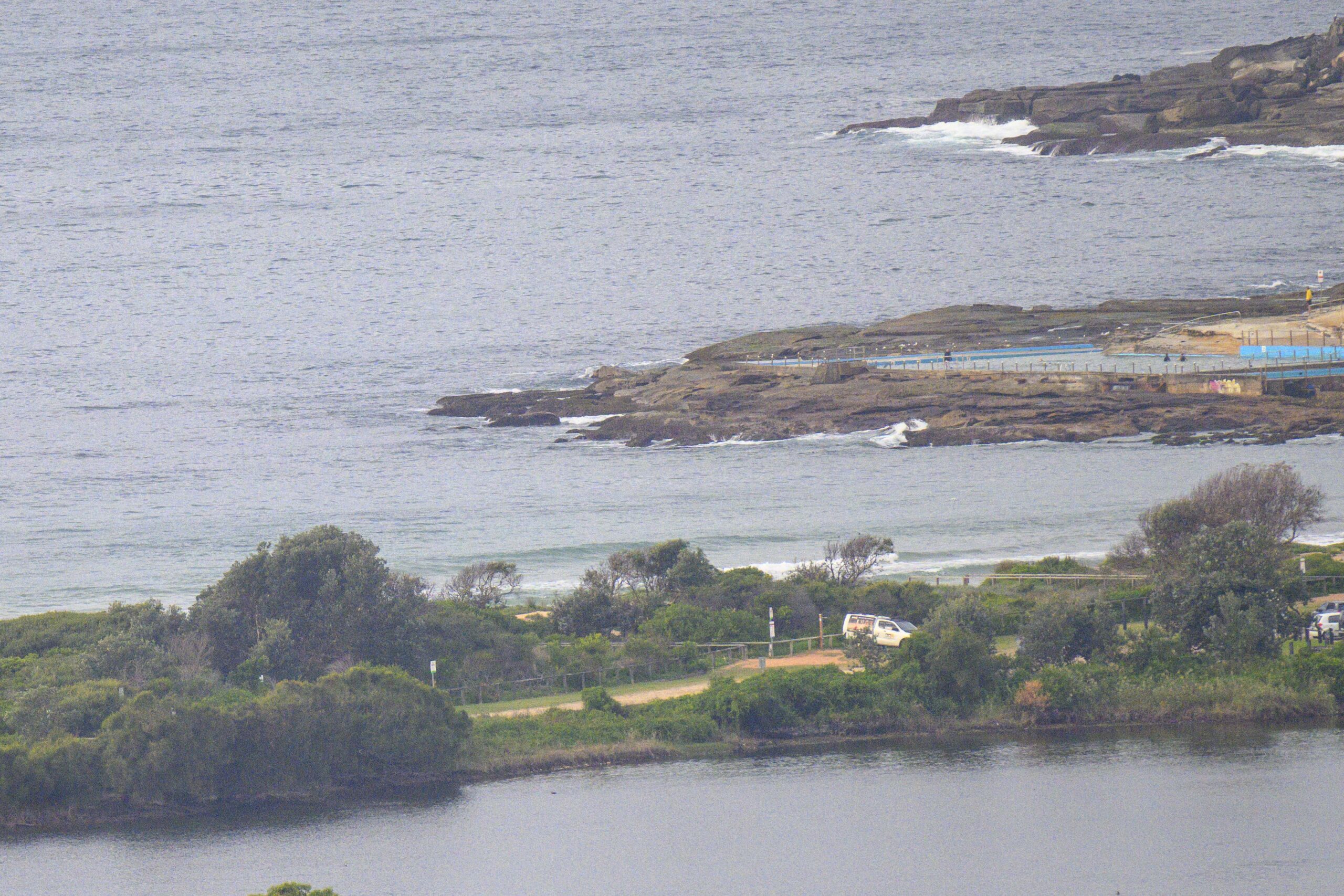
Hello Friends,
Not an inspiring set of reports for Monday, so one’s thoughts turn to the prospects for the week ahead.
Let’s start with the Bureau’s Monday morning marine forecast…
Monday until midnight: Wind: E/SE 10/15 knots, turning E/NE in the evening.Sea: 1 to 1.5 metres.Swell: E/SE 1.5 metres.
Tuesday: Wind: NE 10/15 knots freshening to 15/25 knots during the afternoon. Sea: rising to 1.5 to 2.5 metres. Swell: SE 1.5 metres.
Wednesday: Wind: N/NW 20/30 knots before morning SW change 25/33 knots.
So, onshores and small today, then NE tomorrow and no change to the swell size number for Tuesday. The forecast models are calling for the average period to increase very slightly from the current 7-8 seconds to closer to 9. Every second counts when periods are this short. Today’s barely catchable 7 sec knee to waist high stuff, could be more consistently waist high (with the odd bigger one) and noticeably jucier if we could have another couple seconds added to the period.
As for the week ahead, well it looks from the models as though we can expect the waves to be a bit better tomorrow, then weaker again Wed and into Thursday, before a possible 10s period south swell beginning to fill in on Friday. And here’s why the models are showing these hopeful signs…

That low pressure system to the south of Tas, has a very wintry look. But you’ll notice that it’s forecast to shunt away to the south as it moves eastward, and that’s not the best for us. With luck though we should get a nice solid, fun size (head high) swell for south facing spots from Friday through Saturday. And if the wind forecast is correct, Saturday morning could see a tasty combo of NW breezes and south swell… here’s hoping!
Go well with your day!


