Hello Friends,
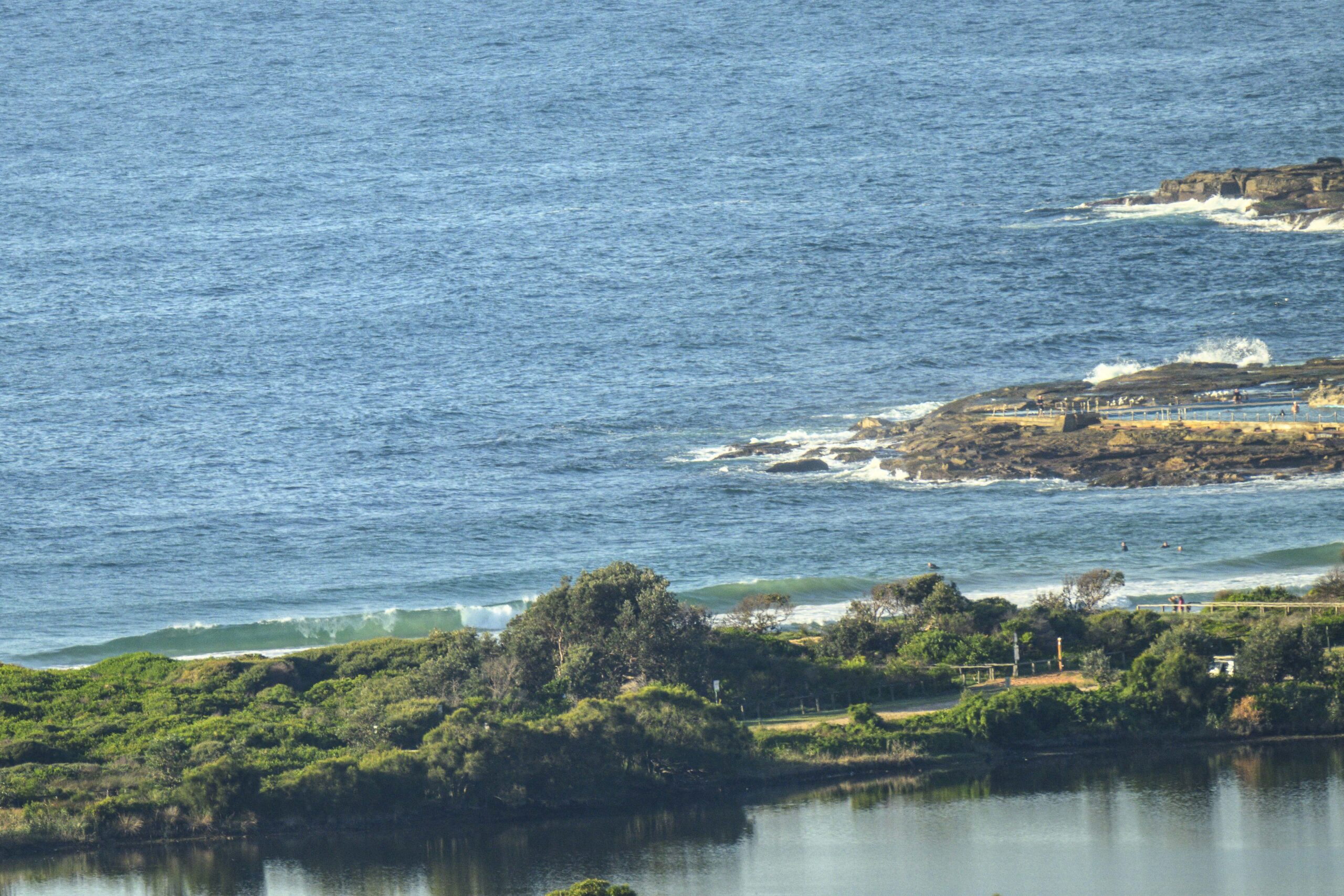
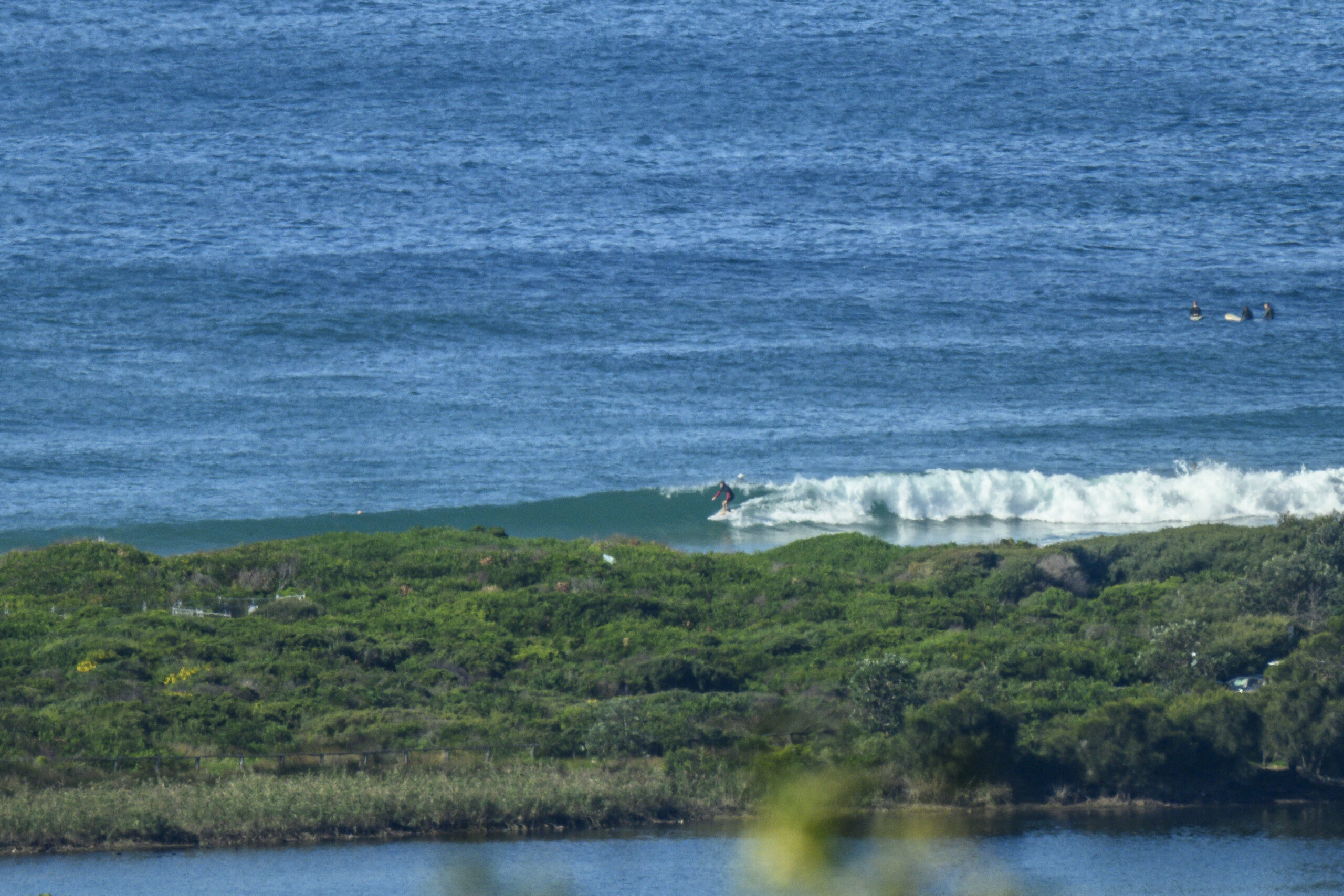
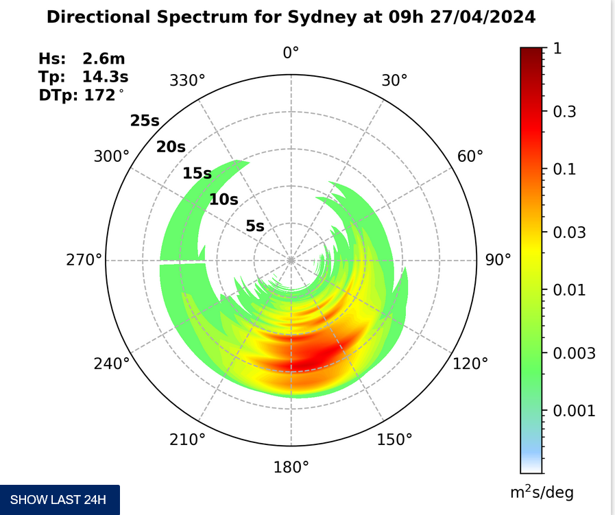
Dark grey skies and WSW wind to start on the northern beaches. Interestingly, as I write this at 0745, wind is 25-30 kts at Little Bay and Kurnell and west at Fort Denison. Anyway, weird wind to one side, the swell has ramped back up overnight. It’s back up to two metres from the south and the period’s around 8 seconds. As you can make out from the grainy snap taken as soon as there was enough light, there are some waist to chest high sets working into Dee Why.
The Bureau says the wind will turn south to SE this morning (obviously already has in the eastern suburbs). Swell should continue to push up during the day, although from the look of the data off to the south of Sydney, it doesn’t look as though it’ll jump up too dramatically right away. The models reckon it could be 3-4 metres at 8 seconds overnight and then they show it swinging from the south around to the ESE, but not dropping, as we head toward Thursday.
The very long periods that appeared briefly in the models a few days ago has disappeared and the current call is for the power setting to be in the 8-9 sec range over the next 3-5 days. Quality looks like it could be a problem because of the generally windy outlook across the period.
Sydney Coastal Waters, Broken Bay to Port Hacking and 60nm seawards:
Strong Wind Warning.
Tuesday until midnight: Wind: SW 15/20 knots early, turning S/SE 20/25 knots during the morning, reaching 25/30 knots at times. Sea: 1.5 to 2 metres, rising to 2 to 3 metres later. Swell: S/SE 2 to 3 metres. Dangerous surf developing for south facing beaches. Isolated thunderstorms.
Wednesday: Wind: SE 15/20 knots. Sea: 1.5 to 2 metres. Swell: S/SE 2 to 3 metres. Dangerous surf for south facing beaches. Isolated thunderstorms.
Thursday: Wind: E/SE 15/20 knots.


