
Hello Friends,
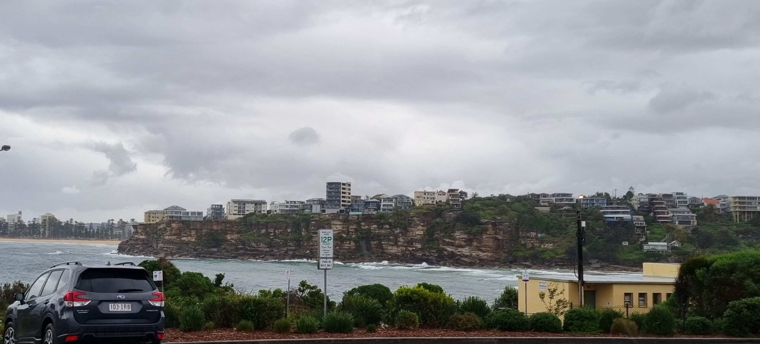
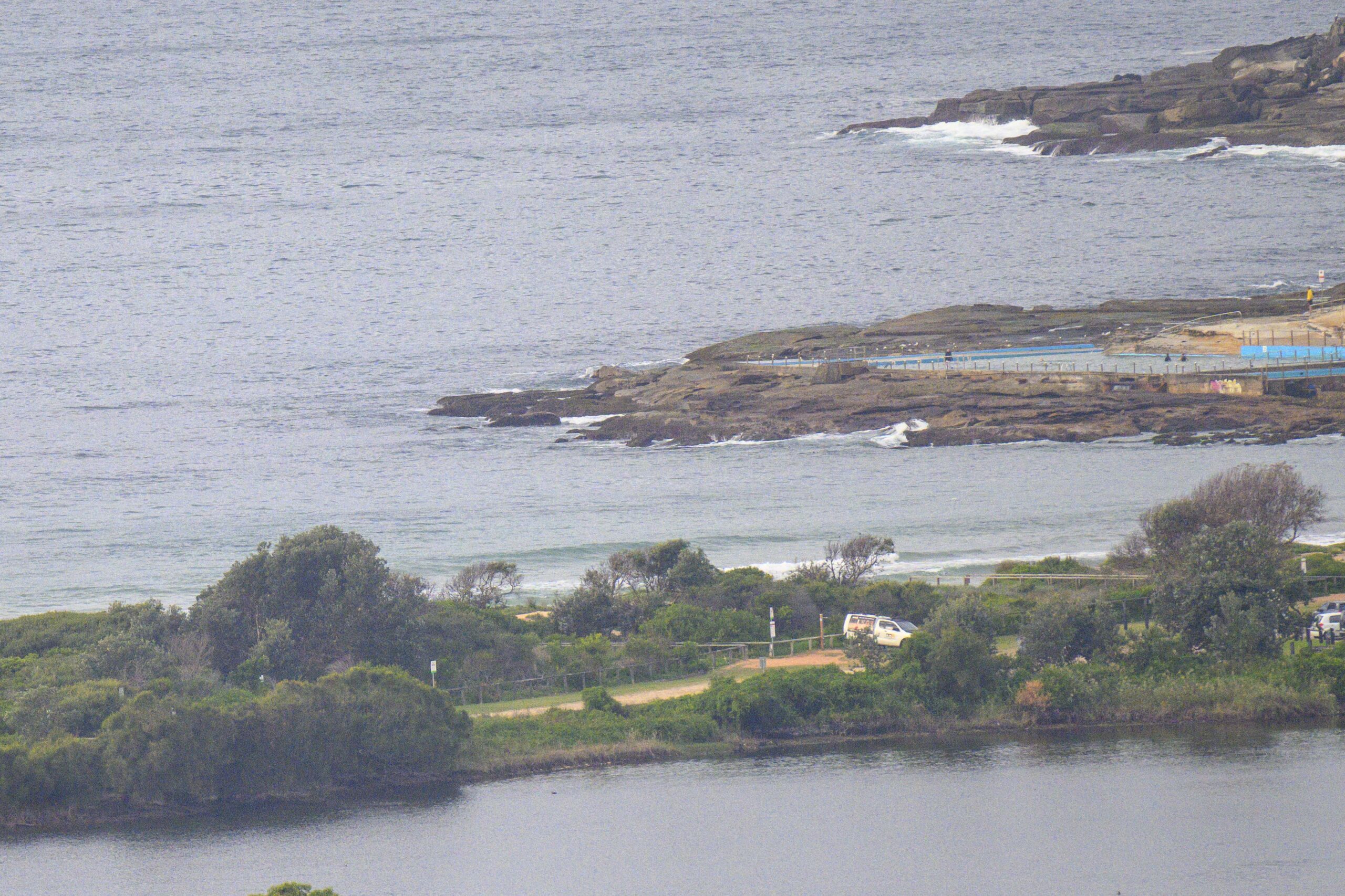
Gloomy start to the day along the beaches of Sydney. At first light, the skies were heavily overcast and the odd shower was falling. Huey’s left the swell settings pretty much where they were as of yesterday evening. So, the usual advice applies: if you found waves there yesterday, then it’d probably be a good idea to look there first today.
Wind is light and should remain so through the day. Swell’s out of the SSE at the moment, maybe a metre on average and sporting a power setting of 9 seconds. Should be waist to chest high on sets at the exposed spots.
These conditions should stick around through tomorrow morning – at least.
Outlook for the coming week has improved since the last run of the models. It now looks as though it will be around the present size through Tuesday morning, before it starts to bump up into the 2-3 metre range with a period setting in the 10-12 second range. At least one model reckons it’ll be coming from the ESE and that our winds will be out of the NW. That could be good!
Don talks surf this morning with ABC 702 weekend show’s Simon Marnie.
Next tide today is a high a little after noon.
Sydney Coastal Waters, Broken Bay to Port Hacking and 60nm seawards:
Saturday until midnight: Wind: W/NW 5/10 knots, tending SW/SE 5/10 knots in the afternoon.Sea: less than 1 metre.Swell: E/SE 1 metre.
Sunday: Wind: SW 10/15 knots, reaching W/SW 15/20 knots at times later in the afternoon, 20/25 knots offshore at night. Sea: 1 to 2 metres, rising to 2.5 metres offshore later. Swell: E/SE to about 1 metre.
Monday: Wind: W/SW 10/20 knots, easing.


