Hello Friends,
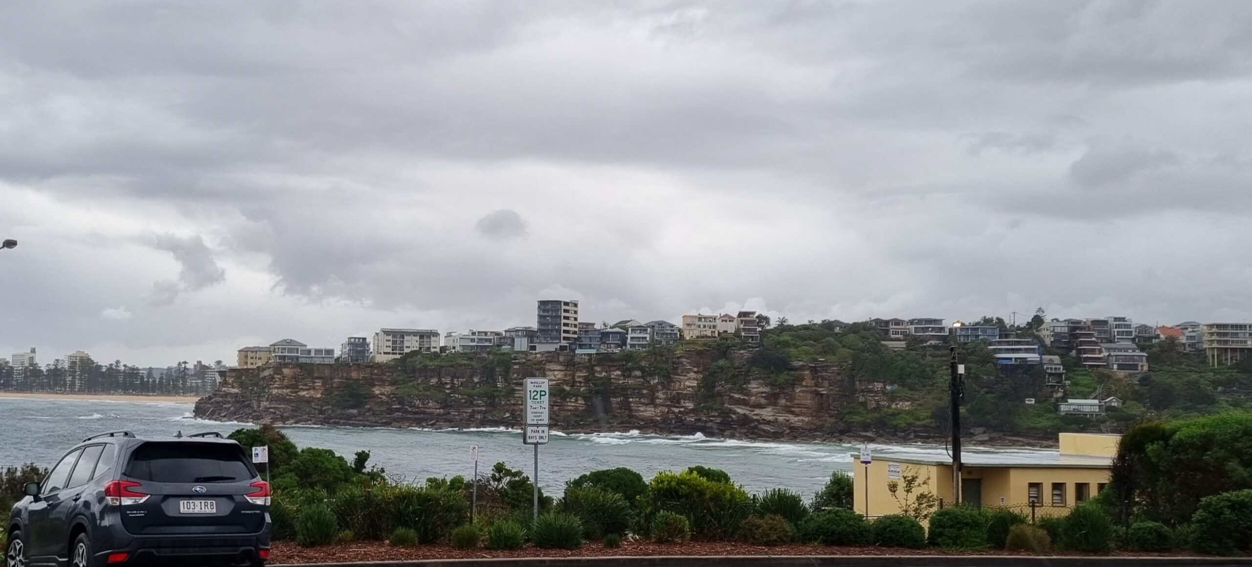
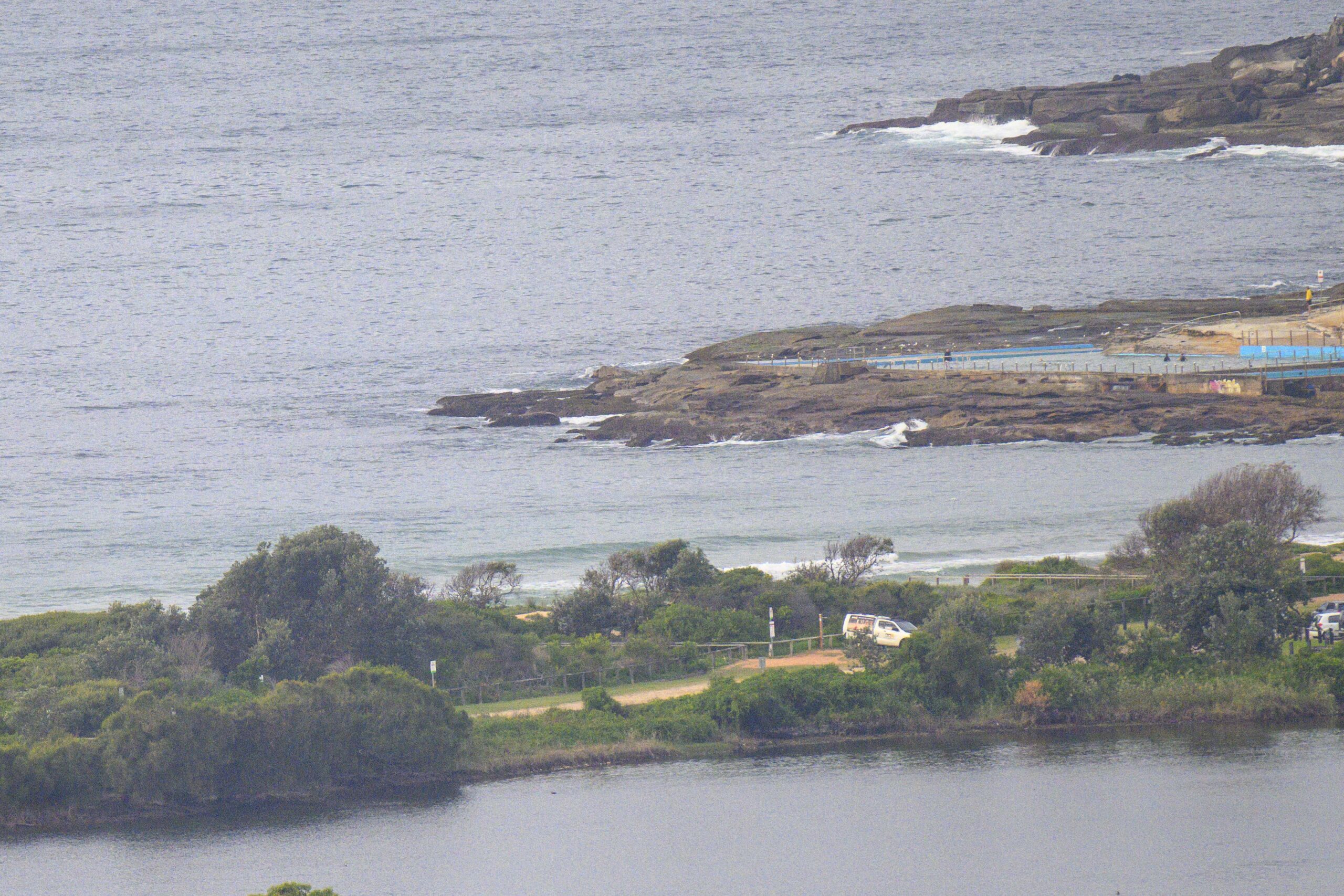
Wind has been powering along all day and the ocean has been hammered down to just about absolute flatness in Sydney.
As the sun set, the MHL data was showing the windswell heading away from us. If you’re out at sea, the waves are in the two metre range and about 6 seconds apart as they head for NZ.
However, down Batemans Bay way, the swell is coming from the south at an average of 2 metres at 8 seconds. Happily, there’s some 10 second stuff in amongst it as well.
With luck we should start to see the south swell fighting its way ashore by around lunchtime. From then on things seem to be shaping up pretty well for Sunday through Tuesday. The models are currently showing some really nice long southerly fetch developing. While the bulk of the energy will be headed up the Tasman and maybe even across the Pacific, we should cop some juicy and fun size waves at south swell spots.
For Sydney
A complex low pressure trough over the southern Tasman Sea directs a vigorous west to southwest flow along the New South Wales coast. Over the weekend, winds should gradually ease from the north as the low moves to the east and weakens slowly.
Saturday: Wind: W/SW winds 25/33 knots, grading to 35/45 knots offshore. Gradually easing to SW 20/30 knots during morning. Sea: 2 to 3 metres, up to 4 to 5 metres offshore in morning. Swell: S increasing to 2 metres inshore, reaching 3 metres offshore.
Sunday: Wind: SW 15/25 knots easing.
Monday: Wind: W/SW 5/15 knots.


