
Warning Summary at issue time:
Gale Warning between Gabo Island and Broken Bay. Strong wind warning between Broken Bay and Smoky Cape. Strong Wind warning for Sydney Closed waters.
Hello Friends,
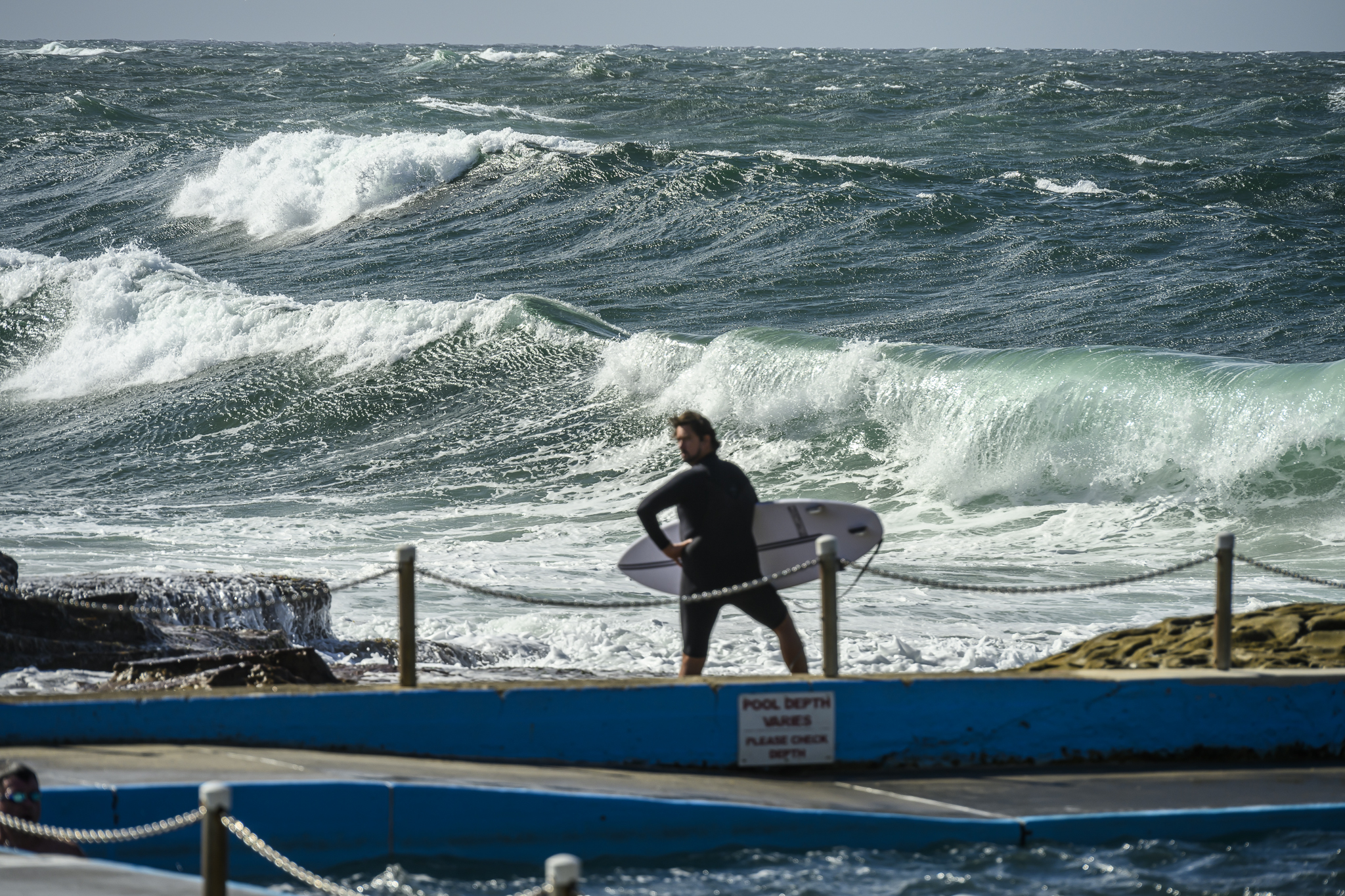
Looking pretty small at Dee Why this morning. Swell is currently out of the south at around the 1.5-2 metre mark, but the power setting is only about 7 seconds, so it’s likely to be a struggle to find much in the way of juice.
From the buoy data it appears that this is the case all up and down the east coast at the moment. And it looks likely to stay that way for Tuesday.
But tomorrow it all changes as Huey sends in the winds big time and on the way through boosts the swell considerably.
Gotta jam! Catchya later.
Synoptic Situation
A high over the Bight is moving east, bringing southwest to southeast winds along the New South Wales coast today. These are expected to be become strong to gale force on Wednesday and Thursday as a low develops and deepens to the east of Bass Strait on Wednesday, moving slowly eastwards on Thursday and Friday.
Sydney Coastal Waters, Broken Bay to Port Hacking and 60nm seawards:
Gale warning
Tuesday until midnight: Wind: S’ly change 15/20 early, easing to S/SE 10/15 knots during the morning and S/SE 5/10 knots in the afternoon and evening. Sea: 1.5 to 2.5 metres gradually abating to below about 1 metre in the evening.Swell: SE about 1.5 metres.
Wednesday: Wind: W/SW 18/23 knots, ahead of a S/SW change 25/35 knots in the morning, reaching 35/40 knots and possibly 45 knots offshore, in the afternoon or evening.Sea: Increasing ti 2.5 to 3.5 metres during the morning and to 4 to 5 metres in the afternoon or evening.Swell: S/SE 1.5 to 2.5 metres. Thunderstorms
Thursday: Wind: S’ly 30/40 knots.


