Hello Friends,
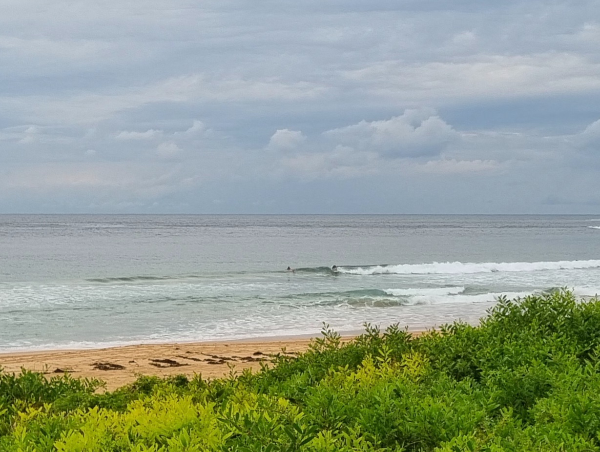
The numbers from the MHL buoy are pretty ordinary – only a metre of short period SE windswell for Sydney this morning. The early risers at Dee Why were on ’em though because every now and then something sort’ve rideable was popping up. Biggest one I saw was maybe around the chest high mark and although it shutdown pretty quickly, the rider got a few quick turns in. The wind was not a factor early and is set to be out of the northern quarters today but not to get blowing too hard.
Sorry no pic just yet. Have a server issue to sort out first.
I’ll post this now and then come back in a bit with some thoughts about the outlook.
TIDE: L @0943, H @1601
Synoptic Situation
A strong high located over the Bight extends a ridge through Bass Strait with a secondary high pressure centre in the Tasman Sea. A trough lies over northeastern New South Wales. A weak southerly change will move into the South Coast this morning, reaching Broken Bay during the evening or overnight and stalling. A weak low will develop off the central NSW coast overnight, but dissipate during Thursday as the High from the Bight moves into the southern Tasman Sea and strengthens. Northerly winds will redevelop in the south and continue through all waters into the weekend.Sydney Coastal Waters, Broken Bay to Port Hacking and 60nm seawards:
Wednesday until midnight: Wind: NW 8/13 knots, increasing to N/NE 13/18 knots during the afternoon before turning S 10/15 knots later in the evening. Sea: 1 to 1 .5 metres. Swell: S/SE about 1 metre.
Thursday: Wind: S/SE 5/10 knots, turning N/NE during the day.Sea: about 1 metre. Swell: S/SE 1 to 1.5 metres.
Friday: Wind: N/NE 5/15 knots.

