Hello Friends,
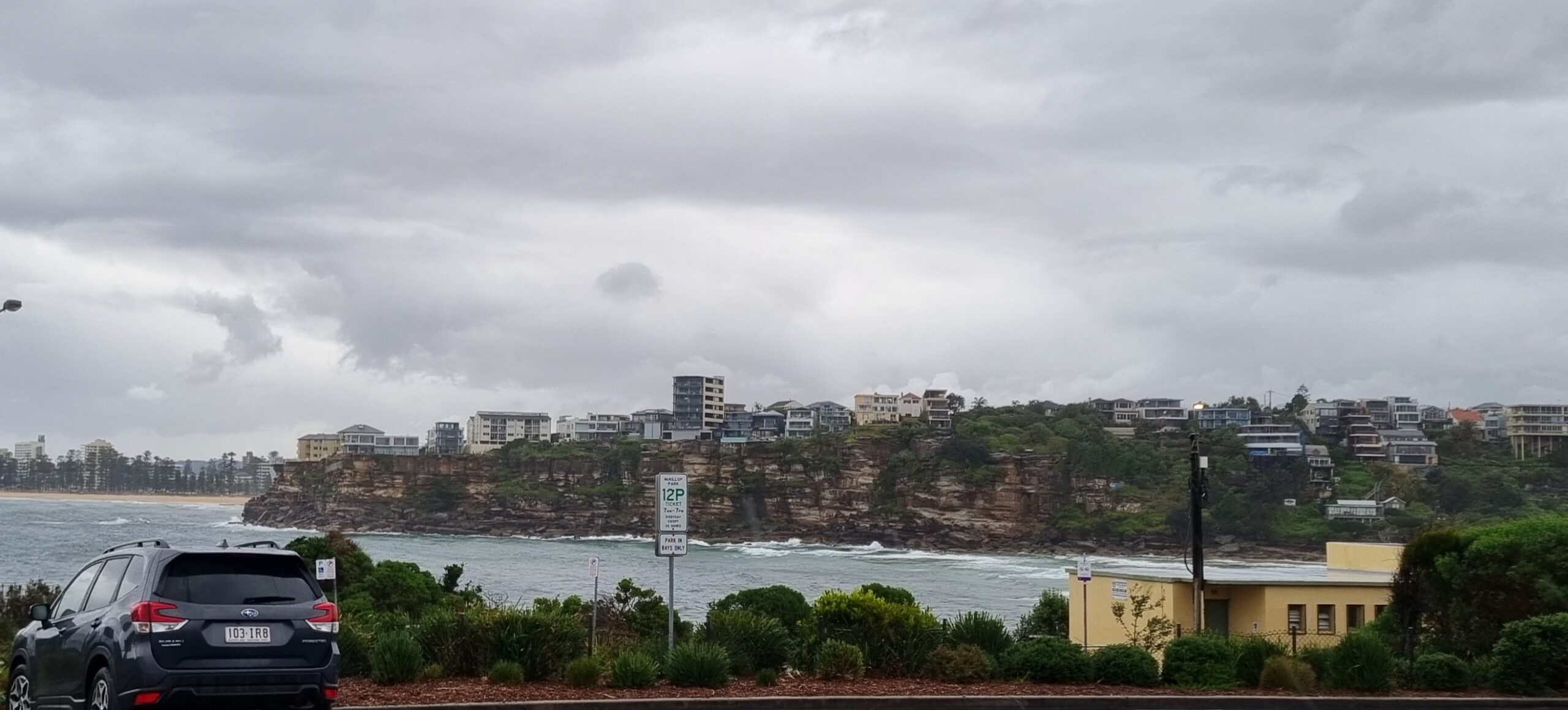
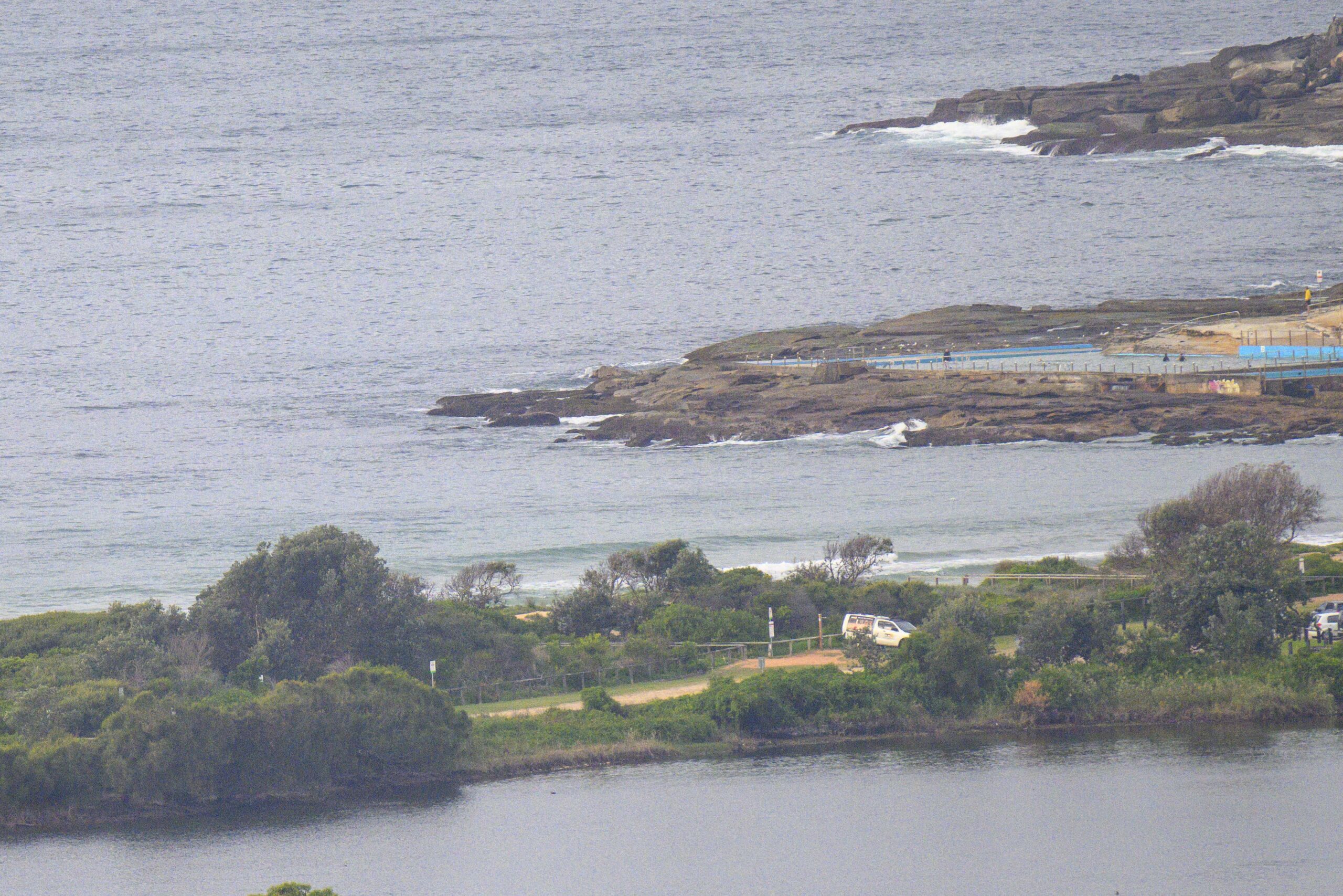
Looking grey and grim it has to be said. Almost no swell about either. The buoy data from up and down the NSW coast is pretty much the same: about a metre of short period east windswell.
Here in Sydney the average period is sitting on a choppy 6 sec, so you’ll be struggling to find anything above knee high at the best exposed spots. And it has to be said that we’re looking at no improvement for at least the next 24 hours. A south change is set for tomorrow and once that happens we could possibly get a brief influx of south windswell for Wednesday. The models suggest that from Thursday into Sunday we could have a fair amount of SE to ESE wind and with it some short period east windswell into the surfable range.
Oh well… that’s springtime for ya! Go well with your day
The Bureau sez:
Sydney Closed Waters, Pittwater, Port Jackson and Botany Bay:
Monday until midnight: Wind:S/SE 10/15 knots, tending E/NE late afternoon/evening. Waters:Slight. Chance afternoon thunderstorms.
Tuesday: Wind:N/NW increasing to 20/25 knots before a SW/S change 20/30 knots later. Waters:Becoming very choppy.
Wednesday: Wind: S/SE 10/20 knots tending E later.
Crystal Ball Gazing…what’s your guess?
[starratingmulti id=1 tpl=12]


