Hello Friends,
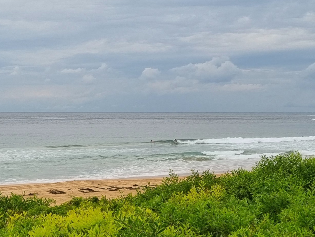
Looks like another good day for the office or school. There are some messy little waves trying to get into Dee Why. I’m still waiting for the light to improve a bit before grabbing a snap, but I can tell you there were a few folks in the water having a go in the very marginal conditions.
The biggest ones looked to be in the chest high range (briefly) but the 10-15 kts of SE wind that’s occasionally delivering those sets is also really working over the surface conditions. I’m filled with admiration for the obvious stoke levels that got this morning’s participants into the water. Inspiring stuff!
According to the Bureau, the wind will swing around to the NE this afternoon, so just maybe the situation will improve in the north corners a bit. Fingers crossed for that one.
Outlook for the remainder of the week is, sadly, not terribly good for the east coast. The overall trend on the models is toward flatness and onshores. There may possibly a little pulse of low, long period south swell at directly south facing stretches around about Thursday. I wouldn’t be marking it in my diary though. A real long shot for Sydney from the look of the data.
Have yourself a great day!
[starratingmulti id=1 tpl=12]
Sydney Coastal Waters, Broken Bay to Port Hacking and 60nm seawards:
Tuesday until midnight: Wind: E/SE 15/20 knots at first, becoming E/NE 10/15 knots in the afternoon.Sea: 1.5 to 2.5 metres, abating to 1 to 1.5 metres later in the day. Swell: SE 1 to 2 metres.
Wednesday: Wind: NE/NW 5/10 knots at first, tending NE 10/15 knots during the afternoon and increasing to 15/20 knots later.Sea: to 1 metre, rising to 1 to 2 metres later. Swell: E/SE 1 to 1.5 metres.
Thursday: Wind: NW/NE 10/15 knots, strengthening to NE 20/30 knots.

