Hello Friends,
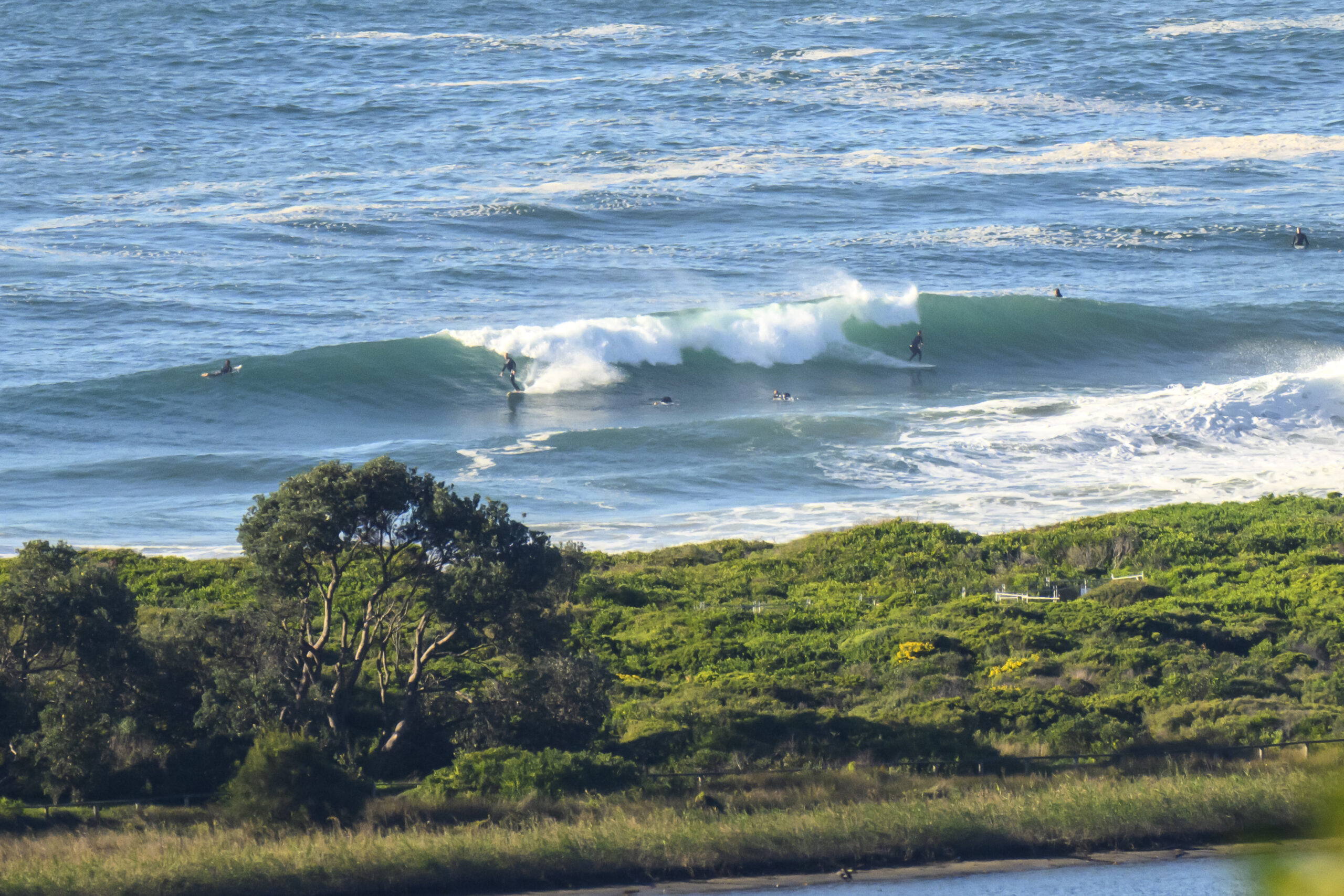
As I write this, the south change is looming toward the northern beaches. By 0800 the beaches are going to be a different place. Not that there was anything too impressive going on before then. As the pre-change pics I shot earlier show, set waves were struggling to get to waist high. 15-20 kts of southerly will put an end even to that I’d have thought.
Here’s a pic of the incoming change… more thoughts below…

It doesn’t look as though the change will push up much of anything in the way of swell for us. If it blows steadily from the SE through the day and into tomorrow, we might have some little junky windswell mushburgers tomorrow morning. But the models are not looking too impressive for the next week where Sydney’s concerned.
However, without getting too excited, there does seem to be some prospect of a small south pulse for us around next Tuesday… if… the long range trends turn into reality. It also looks as though you lucky pups up Queensland way could possibly get a little east swell action from about Thursday onward.
Here’s hoping!
Go well with your Wednesday one and all!


Sydney Coastal Waters, Broken Bay to Port Hacking and 60nm seawards:
Wednesday until midnight: Wind: NW/NE 18/23 knots, ahead of a S/SE change 20/25 knots later in the morning. Sea: 1.5 to 2.5 metres. Swell: E/SE about 1 metre. Scattered thunderstorms.
Thursday: Wind: SE 13/18 knots. Sea: 1 to 1.5 metres. Swell: SE about 1 metre.
Friday: Wind: E/NE 10/20 knots.

