Hello Friends,
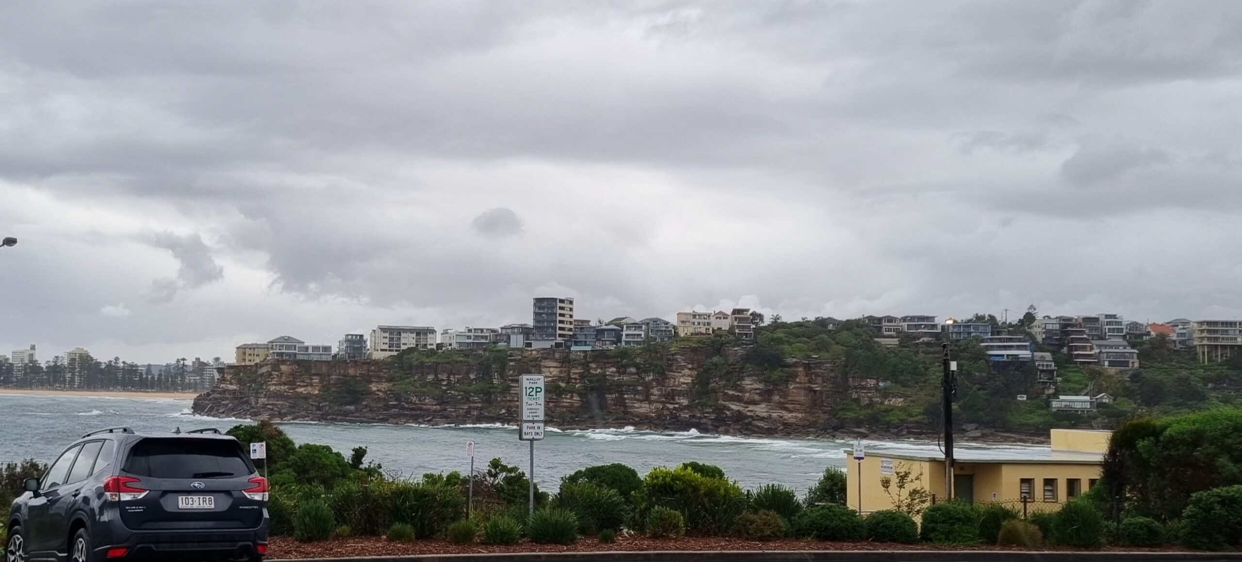
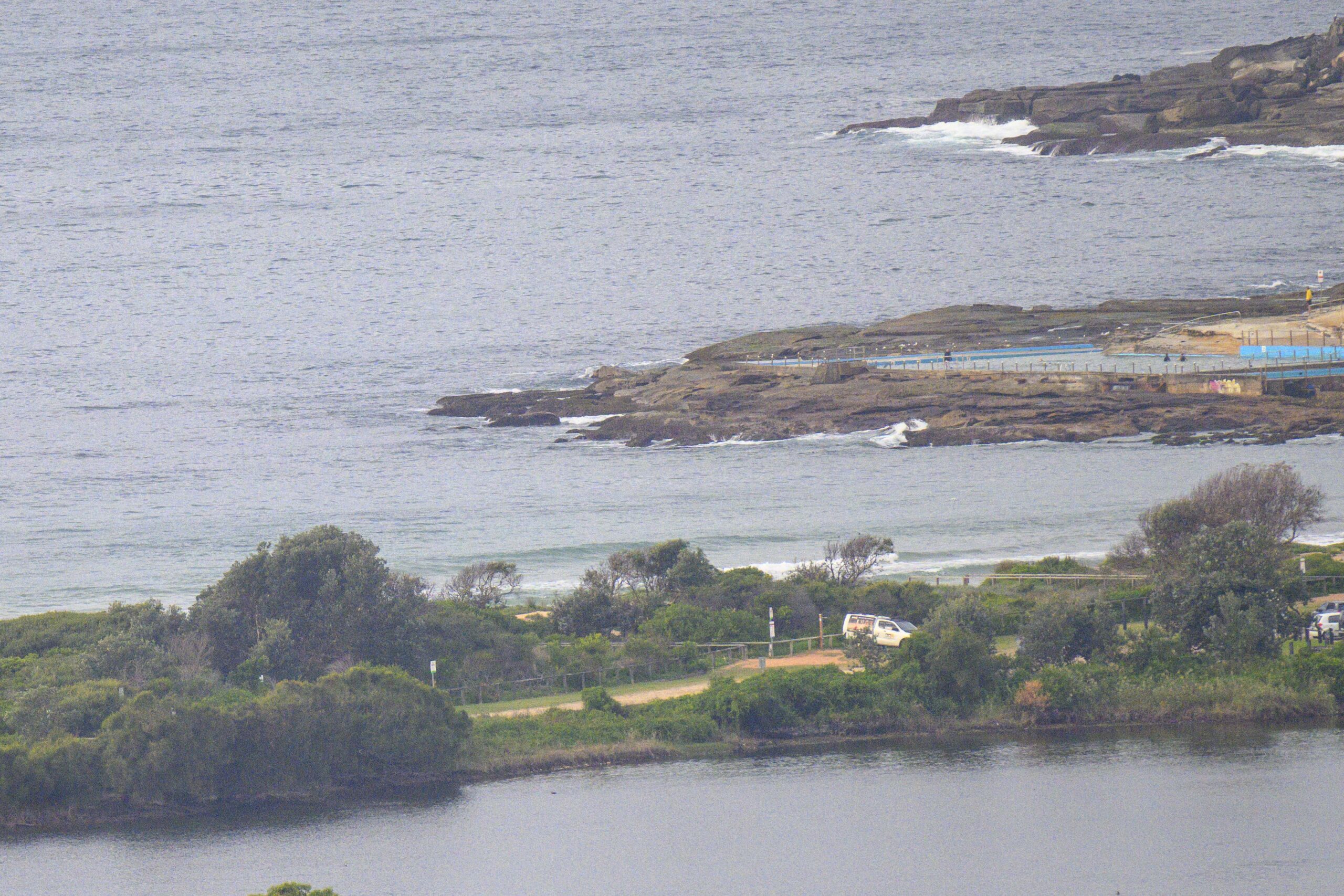
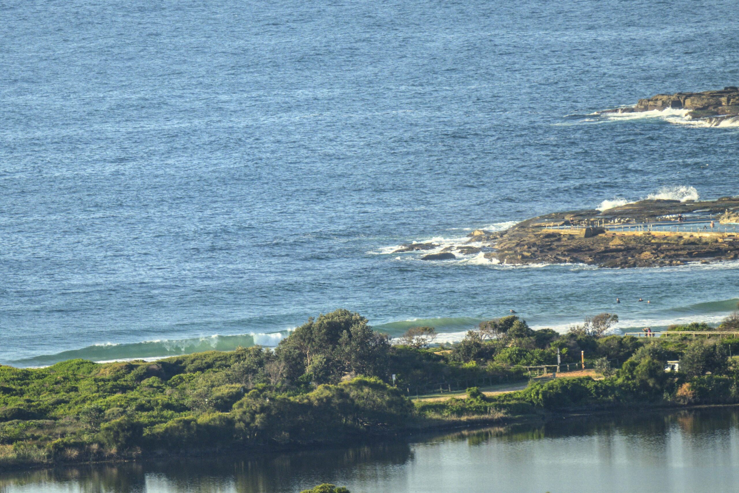
Unfortunately there really isn’t much of anything in the way of surfable energy this morning in Sydney. 65mm of rainfall last night will ensure that the water is extra woofy anyway, so you’re not missing much in that regard.
Right now it looks as though we should have lots of time for ding repairing etc this weekend. Indeed, it now appears that the next pulse may not show up in the Sydney region until late Tuesday.
Between now and then the general outlook is for very small to near flatness. It’s not likely that we’ll see much of anything above the waist high mark. Short period and small is the pattern showing on the models.
With luck we should have something into the head high range midweek. So hang in there and check in regularly because as usual, we’ll be keeping a close eye on developments.
Have yourself a top old day!

Forecast for Saturday
Cloudy with showers. Chance of thunderstorms, chiefly afternoon and evening. Moderate southeast winds, tending northeast.Sydney Coastal Waters, Broken Bay to Port Hacking and 60nm seawards:
Saturday until midnight: Wind: S/SE 15/20 knots tending E/NE in the afternoon.Sea: 1 to 2 metres.Swell: E 1 to 1.5 metres. Chance isolated thunderstorms.
Sunday: Wind: NW/NE 5/15 knots, increasing to 15/25 knots, turning S/SW later. Sea: increasing to 1.5 to 2.5 metres. Swell: SE 1 to 1.5 metres. Isolated thunderstorms.
Monday: Wind: W/SW 10/20 knots, increasing to 20/30 knots later.


