Hello Friends,
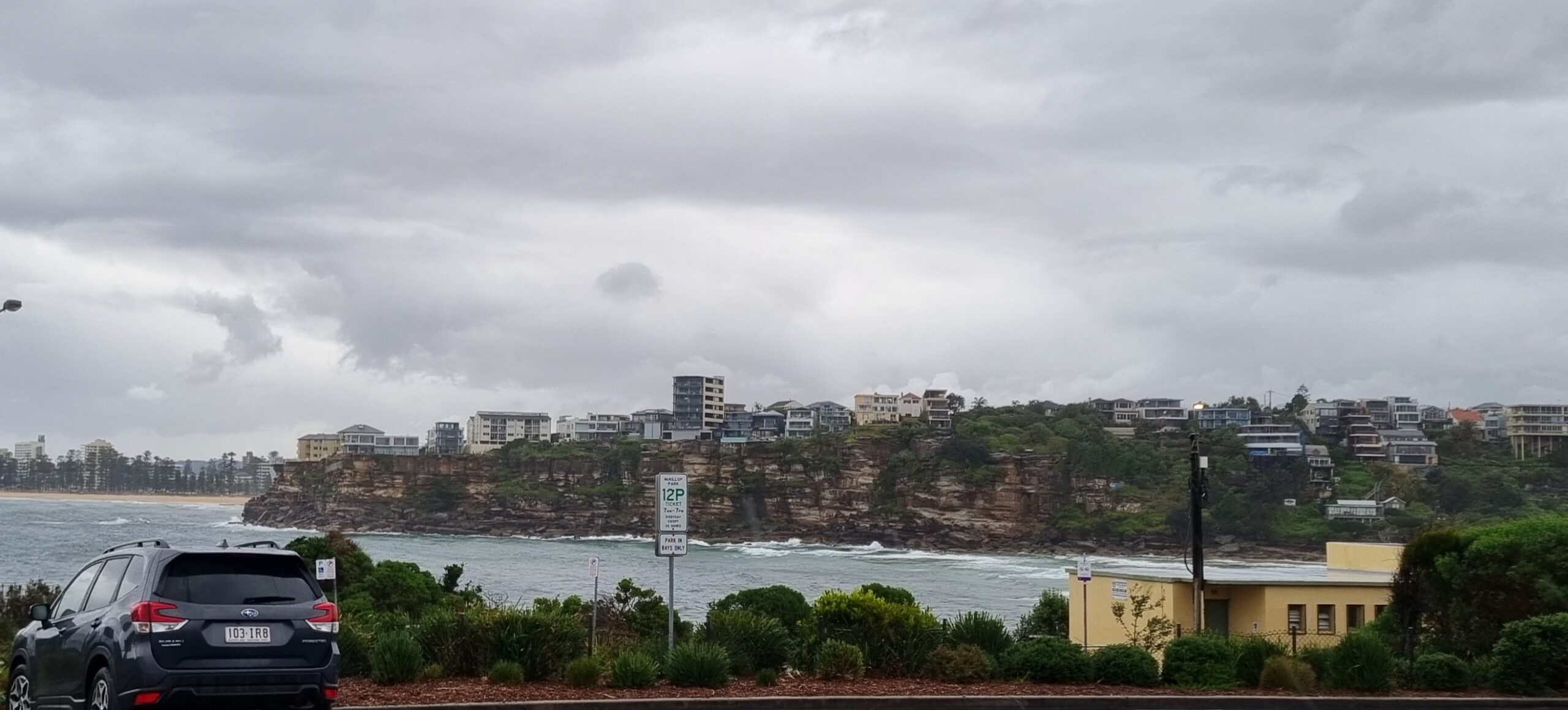
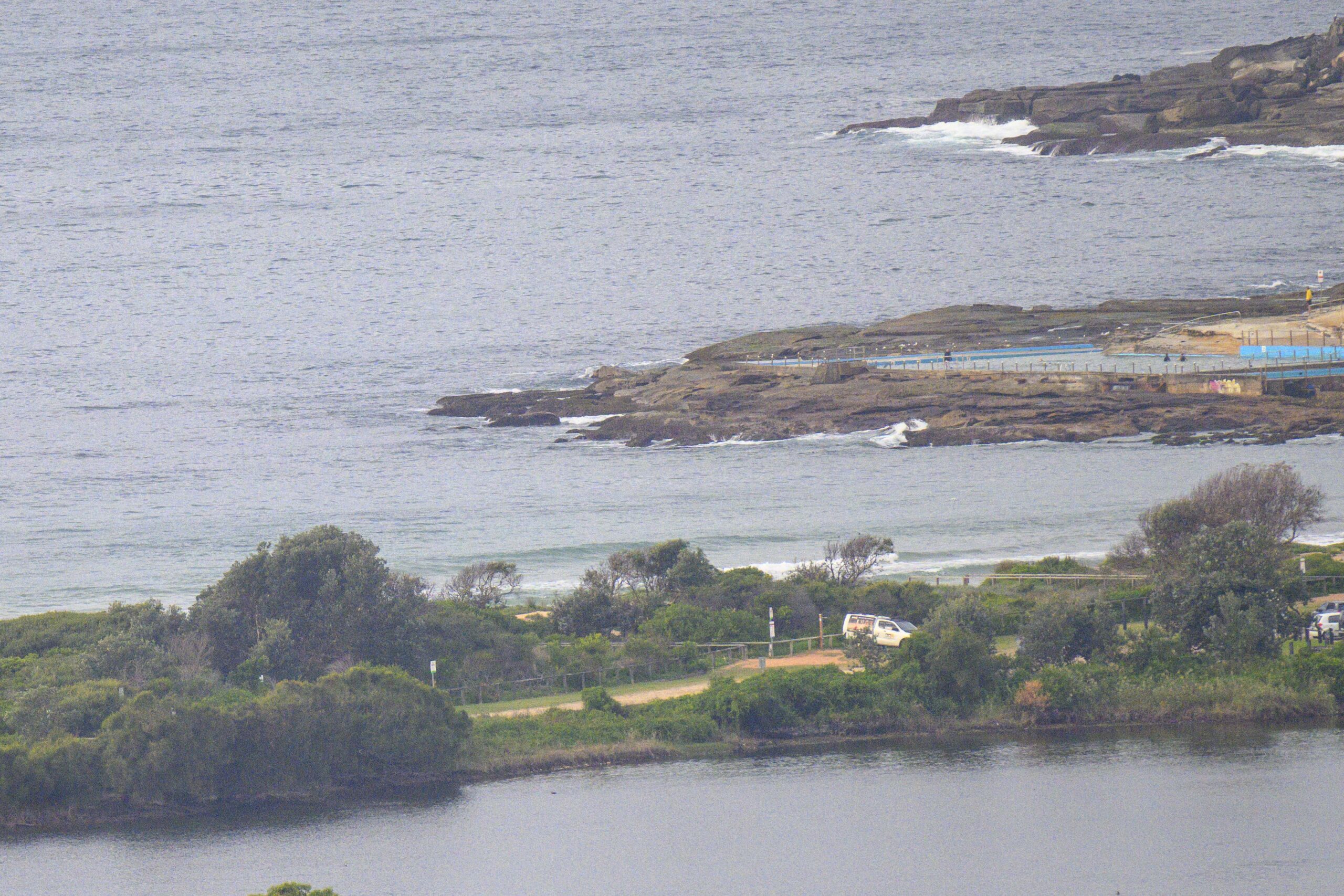
Given how woeful the indicators were at daybreak, it was a pleasant surprise to see someone actually catch a little waist high section when I grabbed this morning’s snap of Dee Why at 0645. The MHL buoy is showing a metre of 6 second period NE dribble, so I wouldn’t be too hopeful of finding anything much outside the knee to waist high range.
From the looks of things, it’s going to be much the same up and down the coast of NSW. We’re due to have light to moderate NE winds this morning, building up to a summery 20-25 kts by late afternoon.
The small and dribbly NE wind swell with NE wind pattern looks like sticking around through Monday. Pretty obviously your best bet for something resembling a wave will be at the NE spots before the onshores kick in.
Outlook for the week ahead is for more or less of the same, however, the models are suggesting that we could get something of a south pulse around Wed-Thur. It could be pretty south (ie most of the energy going by us) so if it gets into the head high range, I’ll be stoked.
Go well with your day!

Sydney Coastal Waters, Broken Bay to Port Hacking and 60nm seawards:
Friday until midnight: Wind: N/NE 15/20 knots reaching 20/25 knots at first this evening. Sea: 1.5 to 2.5 metres. Swell: E/SE 1.5 to 2 metres.
Saturday: Wind: N/NE 15/20 knots. Sea: 1.5 to 2 metres.Swell: NE 1.5 to 2 metres.
Sunday: Wind: N/NE 15/25 knots.
Monday: Wind: N/NE 10/20 knots, becoming N/NW 15/25 knots.


