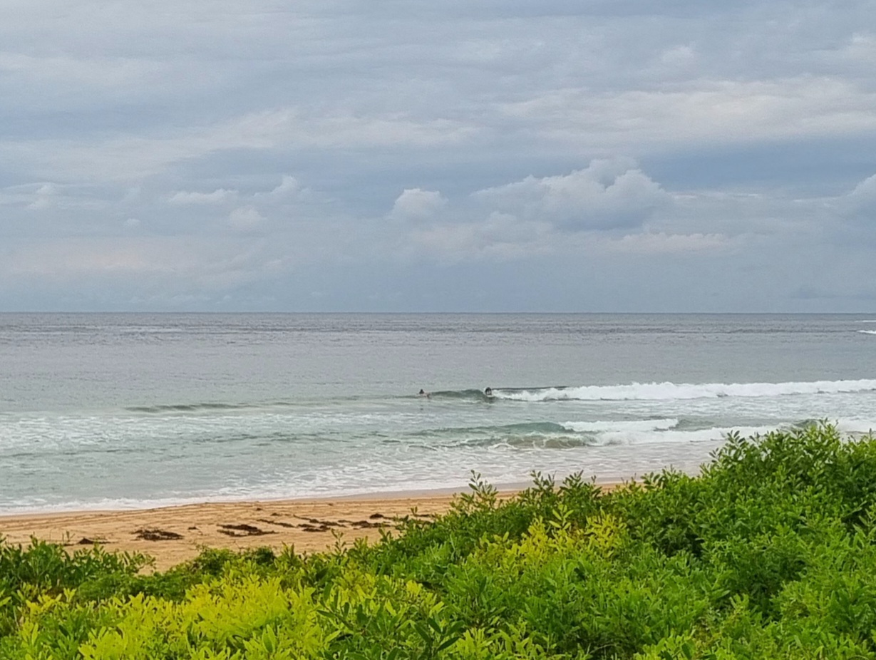
A couple pictures from this morning before the wind (gallery online soon)


Southerly pretty much wrecked everywhere my early afternoon.
Hello Friends,
Not super consistent but some chest to shoulder high sets at the point and in the beachy at Dee Why. As the tide comes in this morning, the southerly’s going to pick up, so the bigger and more exposed spots will start to chop up before long.
Average period has bumped up to around the 9 second mark so it should be a touch jucier on those bomb sets.
I plan to be out and about with cameras this morning, so I hope to have a few more piccies for you later.
Outlook is for the swell to get a touch more power as the period starts to stretch out somewhat this afternoon. Tomorrow morning is shaping to be the peak of the weekend swell energy on current estimates, but there should be waves through Monday according to the latest run of the models.
Have yourself a good one!


TIDES L @0630, H @1230
Sydney Coastal Waters, Broken Bay to Port Hacking and 60nm seawards:
Saturday until midnight: Wind: S 10/15 knots inshore and 15/20 knots offshore, increasing to S/SE 18/23 knots throughout.Sea: 1 to 2 metres, rising to 1.5 to 2.5 metres. Swell: SE 1.5 to 2.5 metres.
Sunday: Wind: S/SE 15/20 knots, easing to 10/15 knots later. Sea: 1 to 2 metres. Swell: SE 1.5 to 2.5 metres.
Monday: Wind: SW/SE 5/15 knots.

