Hello Friends,
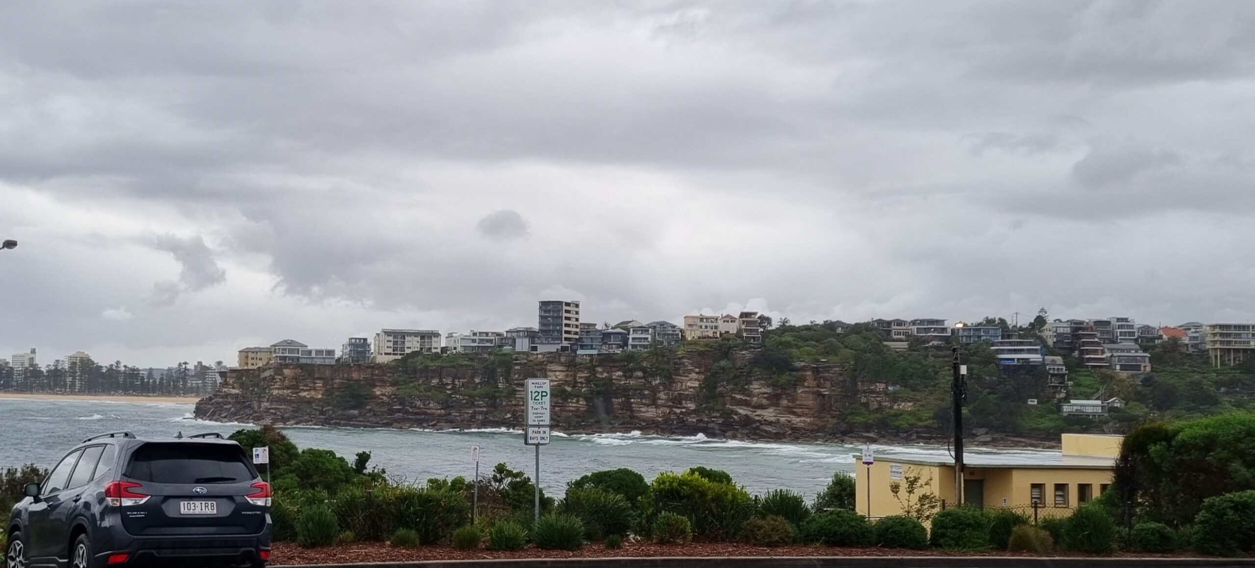
As I write this, the expected gale has not yet arrived. But the leaden skies and occasionally heavy rain have turned up as expected and as a consequence the beach isn’t looking too attractive at all. The swell has picked up a bit though and that should mean places with a wave last night should have one again this morning – until the gale arrives.
Hope to get a picture later when the light levels improve.
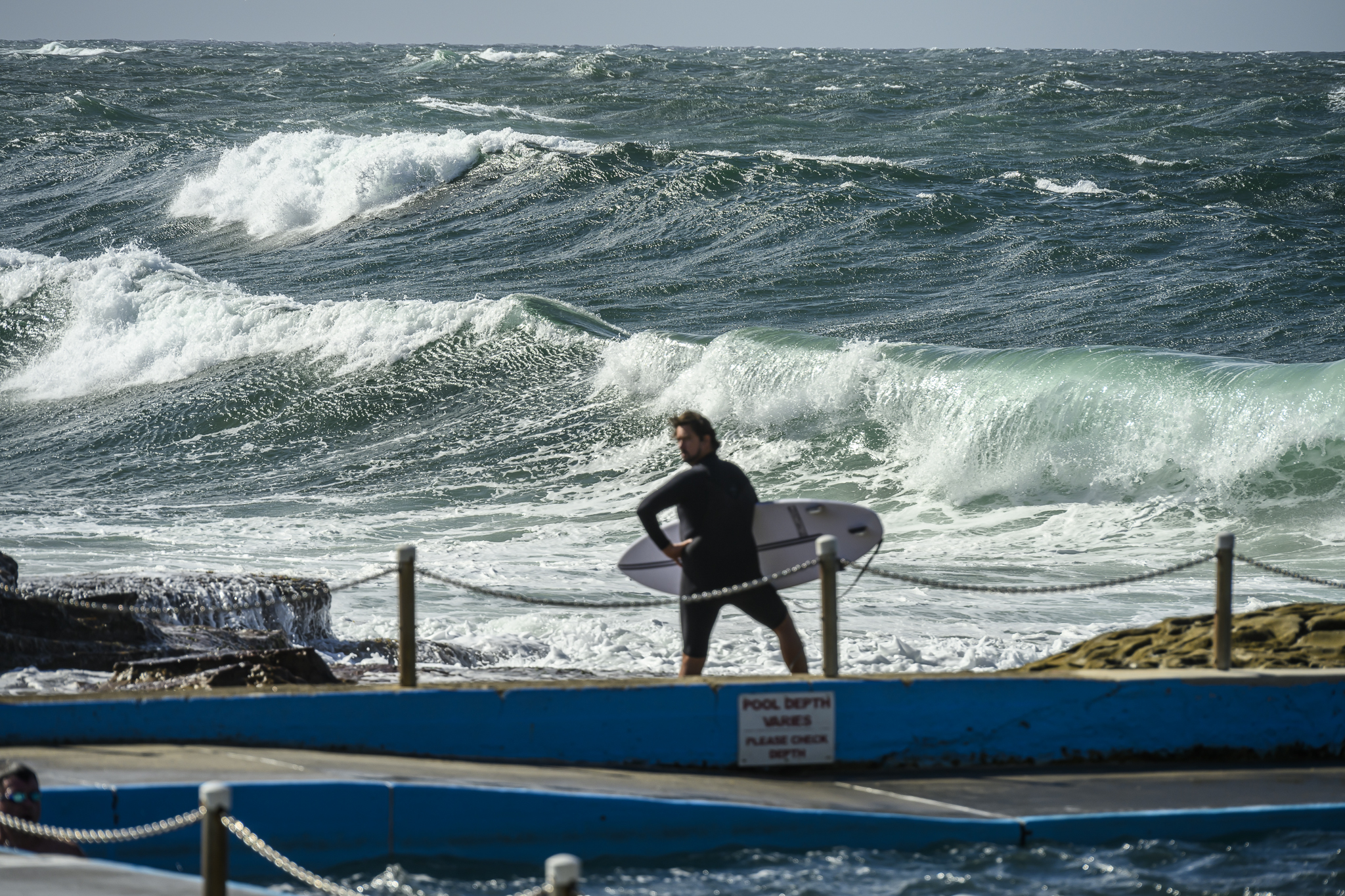
The weather promises to be pretty ordinary for the next couple days but we seem to have some prospects for swell. Estimates vary, but there seems to be a consensus amongst the model interpretations that our region should see at least a couple metres of SE swell from this afternoon through to Saturday. It may lull back a bit (but not go flat) on Sunday before kicking up in a major way on Monday. We had a call like this a week or so ago and it didn’t play out to be quite as big as expected. When one sees 5-6 metres at the outer end of the forecast range, it’s worth taking on board, but probably not something one would bank on just yet…
TIDES:H @0645, L @1230
Sydney Coastal Waters, Broken Bay to Port Hacking and 60nm seawards:
Gale Wind Warning.
Wednesday until midnight: Wind: Northwest to southwesterly 10 to 15 knots early ahead of an east to southeasterly change 25 to 35 knots late morning, easing to 20 to 30 knots at night.Sea: 1 to 1.5 metres rising 2.5 to 3.5 metres late morning.Swell: Easterly 1.5 to 2 metres increasing 2 to 3 metres. Isolated thunderstorms.
Thursday: Wind: South to southeasterly 20 to 25 knots decreasing to 15 to 20 knots during the morning then decreasing to 10 to 15 knots during the afternoon.Sea: 2 to 2.5 metres abating to 1 to 1.5 metres in the afternoon. Swell: East to southeasterly 2 to 2.5 metres.
Friday: Wind: East to southeasterly 5 to 10 knots tending northwest to northeasterly during the afternoon then increasing north to northeasterly 10 to 15 knots in the evening.


