Hello Friends,
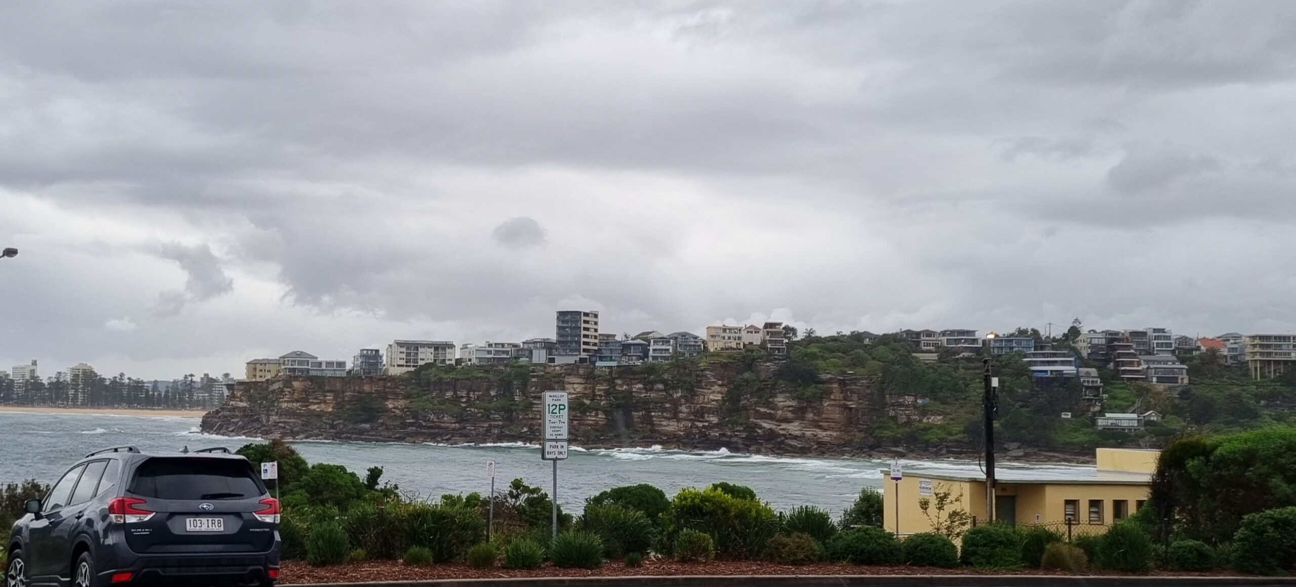
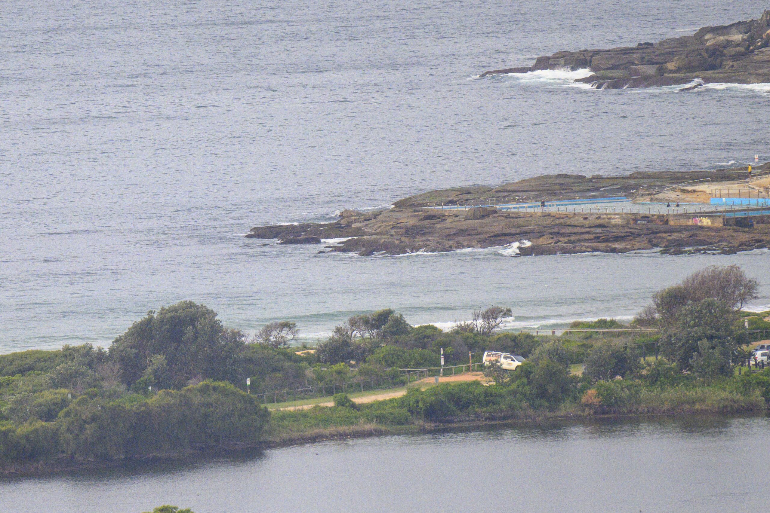
Swell has weakened a bit overnight, but the direction has moved closer to the SE, so that should see it getting into at least as many places as yesterday. The wind wasn’t doing much for the early, and despite the chilly temps, there were lots and lots of folks having a go along the Dee Why stretch. Will be a day to practice your patience I’d say.
Sets looked to be in the shoulder to head high range, with maybe the odd bigger one.
Period is sitting on 9 seconds, so they’ve got enough push to keep things interesting.
I’ll get out and about with the camera again because it looks from the models as though this could be as good as it gets for the next week.
Outlook is for a gradual fade during the day and by tomorrow, it’ll be waist to chest high at places that pick up the swell. Thereafter it seems headed toward flatness right into next weekend.
Have yourself a top old day!
TIDES: H @0940, L @1510
Sydney Coastal Waters, Broken Bay to Port Hacking and 60nm seawards:
Monday until midnight: Wind: Southerly 10 to 15 knots. West to southwesterly to 10 knots inshore during the morning.Sea: Up to 1.5 metres.Swell: Southerly about 2 metres decreasing.
Tuesday: Wind: Southerly 5 to 10 knots tending east to southeasterly during the afternoon then becoming light later in the evening.Sea: Below 1 metre.Swell: Southerly 1.5 metres.
Wednesday: Wind: North to northwesterly 5 to 10 knots tending northerly 10 to 15 knots during the evening.


