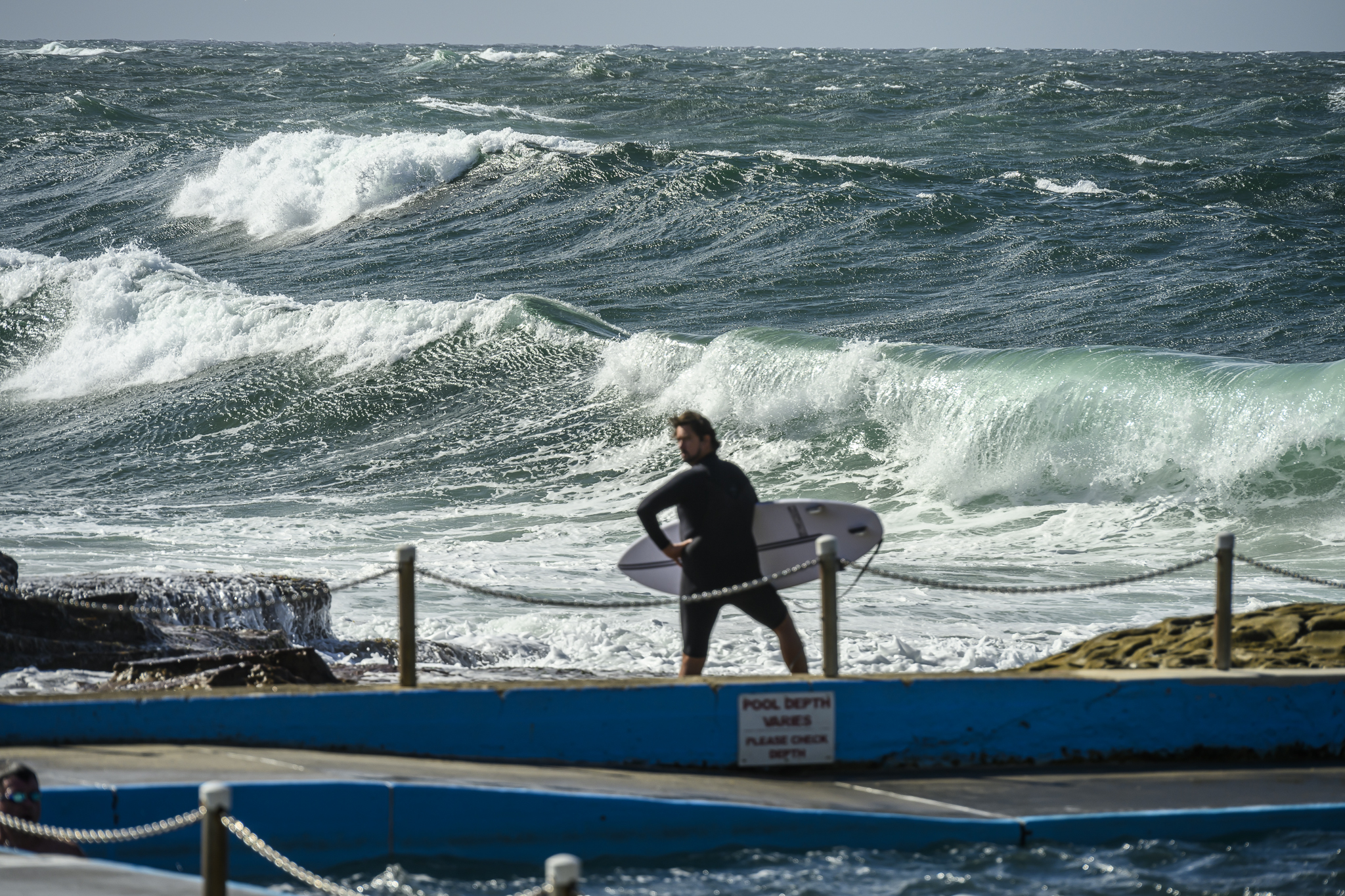
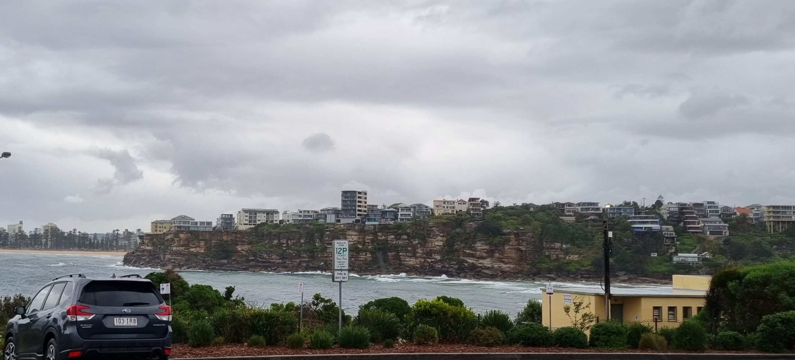
Late arvo snap for you…

Hello Friends,
Another chilly start to the day’s proceedings in Sydney. But the wind is offshore and we have a couple metres of south swell pushing in. It’s 9 seconds apart on average, so the sets should be into the head high range on the bigger ones at exposed spots. Judging from the buoy data down south, the swell is probably near it’s peak as I write this and is then likely to weaken very gradually across the day.
The wind forecast says it should be southerly but decreasing. However, before 0800 it was W to WNW across the Sydney region’s beaches. Early risers had to put up with the cold to get those offshores. Later arrivals may not be so fortunate as that wind should settle into a southerly by lunch.
Outlook is for a gradual decline overnight to small but not flat for Monday.
Go well!
 Offshore and brisk to kick off this morning.
TIDES L @ 0720, H @1325
Forecast for Sunday
Fine apart from the chance of a shower or two near the coast, more
likely in the evening. Partly cloudy. Light west to southwest winds
tending southerly in the afternoon, fresh a times along the coast.Sydney Coastal Waters, Broken Bay to Port Hacking and 60nm seawards:
Sunday until midnight: Wind: Southerly 15 to 20 knots, reaching 20 to 25 knots offshore at first, decreasing to 10 to 15 knots in the evening.Sea: 1 to 2 metres.Swell: Southerly 1 to 1.5 metres.
Monday: Wind: Southerly 5 to 10 knots tending east to northeasterly during the afternoon.Sea: Below 1 metre.Swell: Southeasterly 1 metre.
Tuesday: Wind: North to northwesterly 5 to 10 knots tending west to southwesterly up to 15 knots during the morning then tending south to southwesterly up to 25 knots during the afternoon.


