Hello Friends,
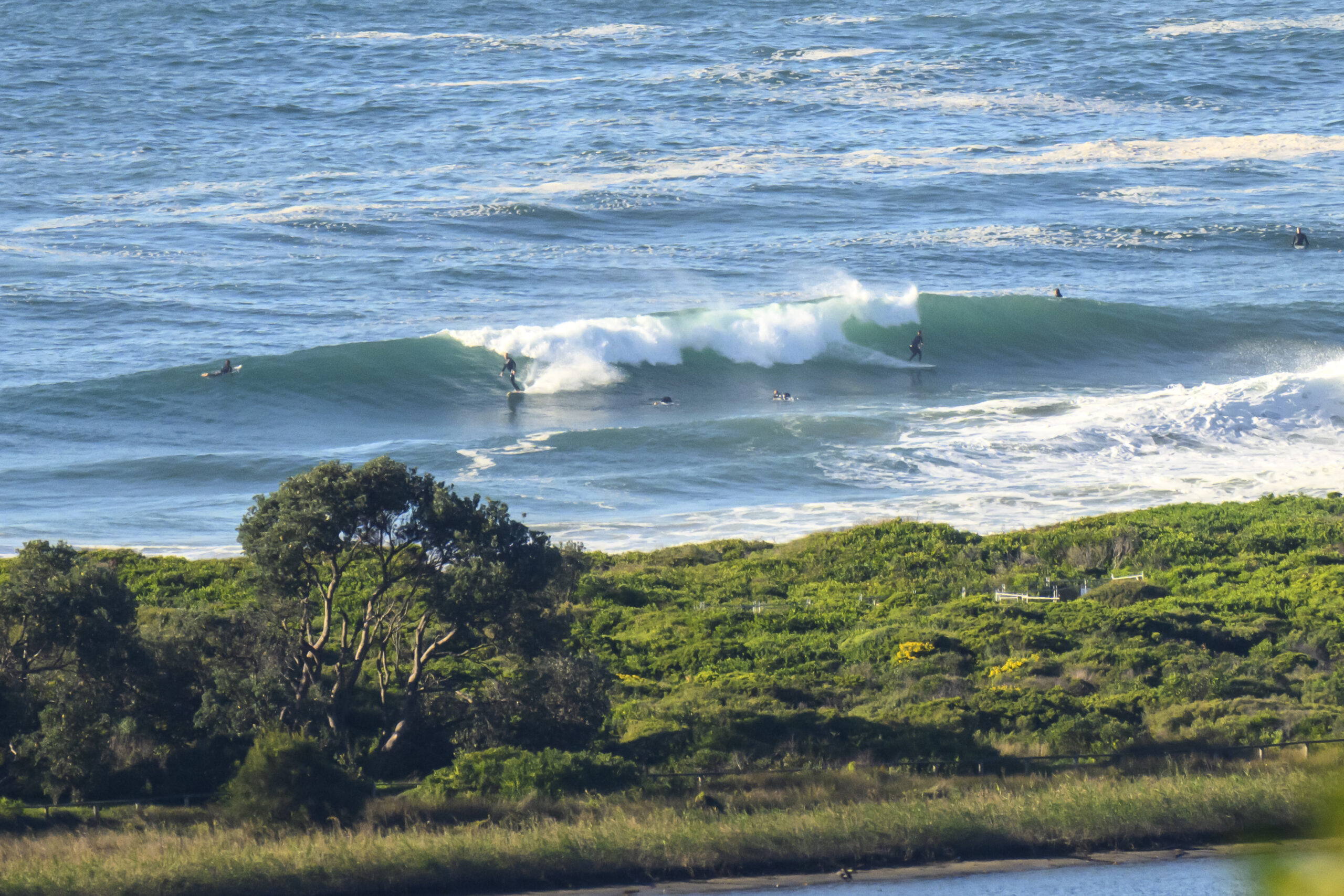
As Rob and Matt have already noted, the big story is the wind this morning. But if the Bureau is right, it should back off later. Even better, the swell might start to get in a little more and the late could be pretty fun at spots that like a lot of east. The latest run of the forecast models is pointing to the swell being in the surfable range through tomorrow at Sydney’s east spots. Outlook for the rest of the week is farily so-so. As the Goat would say, up a little bit, down a little bit…
Have yourself a top old day!
Sydney Coastal Waters, Broken Bay to Port Hacking and 60nm seawards:
Gale Warning
Wednesday until midnight: Wind: North to northwesterly 20 to 30 knots reaching 35 knots offshore tending west to northwesterly during the morning then decreasing to 20 to 30 knots in the afternoon and 15 to 25 knots in the evening.Sea: 1 to 2 metres reaching 2.5 to 3.5 metres offshore.Swell: Easterly 1.5 metres. Isolated thunderstorms in the evening.
Thursday: Wind: West to southwesterly 20 to 30 knots tending south to southwesterly later in the evening.Sea: Up to 3 metres.Swell: Easterly about 1 metre tending southerly 1.5 metres late in the evening.
Friday: Wind: South to southwesterly 20 to 25 knots tending southerly 15 to 20 knots during the afternoon.

