Hello Friends,
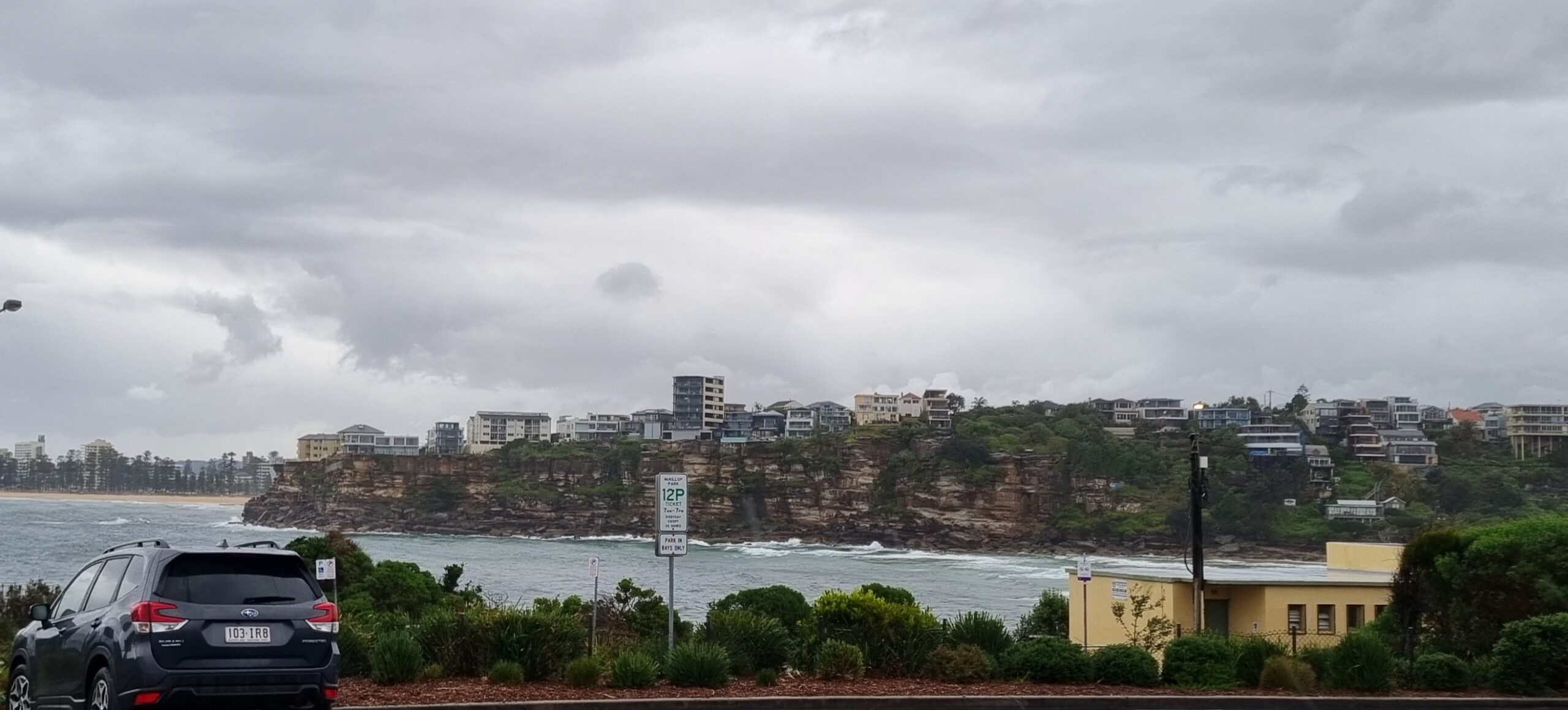
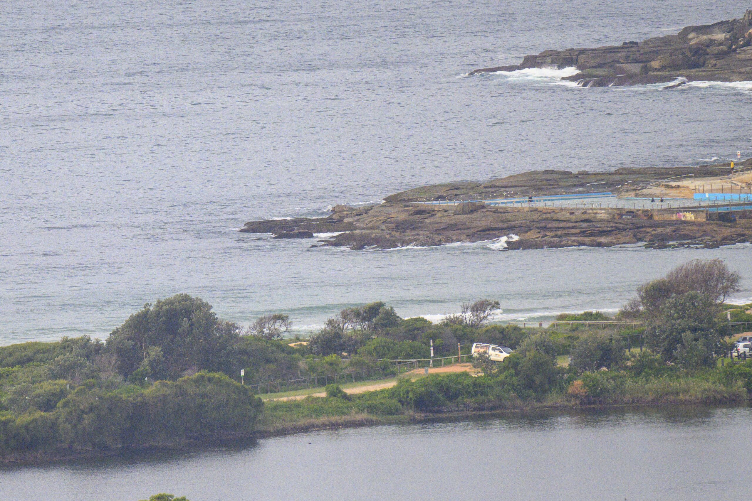
Dripping skies this morning and still a little bit of east swell. Not too big, but you should find up to waist high at those places that have picked up something over the last couple days. If your favourite stretch of beach doesn’t pick up east swell, you can forget finding anything. The rain is set to clear up later, but it looks as though the swell will not be picking up. I’d expect it to gradually fade away over the next 24 hours and for things to be very quiet come Monday morning.
 The models suggest we’ll have a brief 12-18 hour pulse out of the south on Tuesday before slumping back to smallness through the rest of the week. Looking out to next weekend, the predictions have been swinging around a fair amount, but in the latest run of the models they seem to have settled back to predictions of a steady supply of small but surfable, mainly se to e swell.
Enjoy your Saturday!
TIDES: H @1130, T @1715
Sydney Coastal Waters, Broken Bay to Port Hacking and 60nm seawards:
Strong Wind Warning
Saturday until midnight: Wind: North to northwesterly 10 to 20 knots tending westerly 15 to 25 knots around midday then increasing to 20 to 30 knots during the afternoon, chiefly offshore.Sea: 1 to 2 metres increasing to 2 to 3 metres in the afternoon.Swell: Northeasterly about 1 metre.
Sunday: Wind: West to northwesterly 15 to 25 knots, reaching 30 knots at times, tending west to northwesterly 20 to 30 knots during the afternoon.Sea: Up to 3 metres.Swell: Northeasterly 0.5 metres.
Monday: Wind: West to southwesterly 25 to 30 knots becoming southwesterly 30 to 35 knots during the evening.


