Hello Friends,
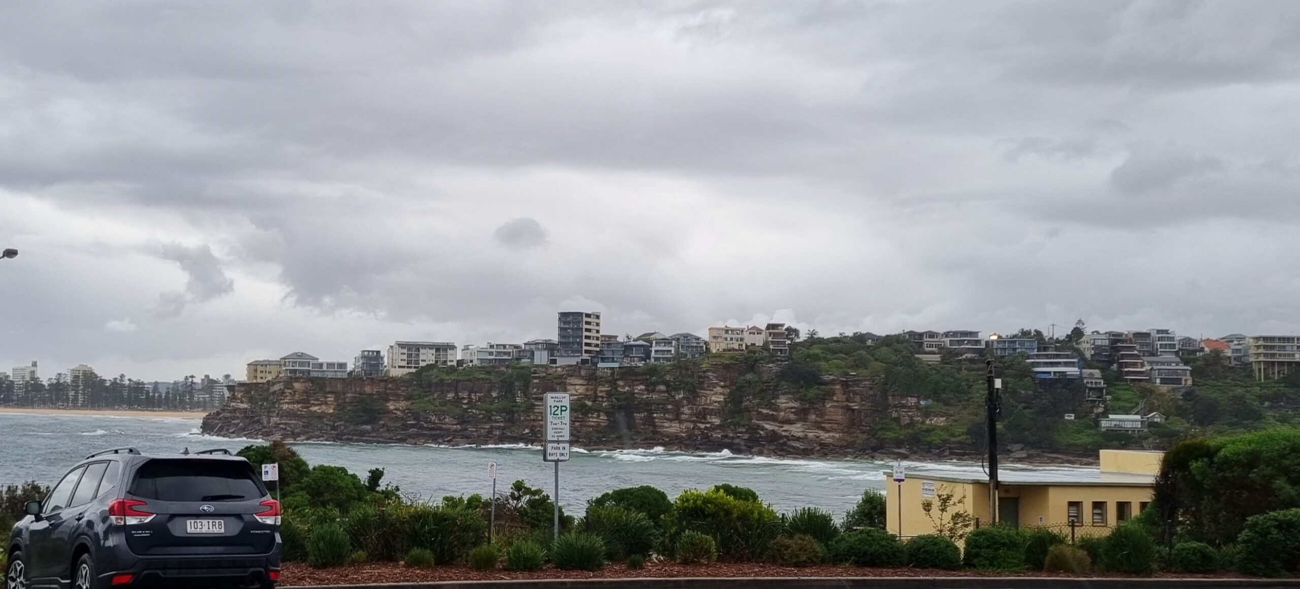
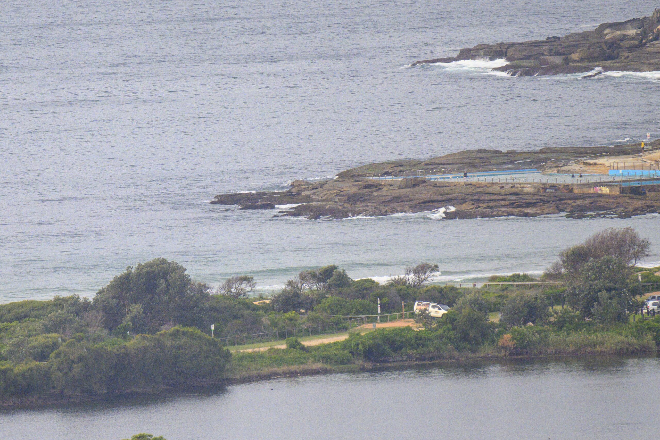
Not exactly booming along the beaches of Sydney this morning. Swell is out of the SSE at about a metre with an average period of around 8 seconds. At Dee Why that means mostly micro, with the very occasional little teaser line. Outlook is for the energy levels to slip down a notch as the day goes along and to therefore be around this size through tomorrow morning.
 But then it looks as though Huey might have a fresh new south pulse to sling our way. It could be back into the shoulder to head high range as soon as Friday afternoon, but according to the latest run of the wave forecast models, what’s more likely is that it will fill in overnight on Friday and that the fresh juice will be ready for weekend warriors from first light on Saturday.
Have yourself a great Friday and may it all go according to plan for you.
TIDES: L @0900, H @1550
Sydney Coastal Waters, Broken Bay to Port Hacking and 60nm seawards:
Thursday until midnight: Wind: Westerly 10 to 15 knots.Sea: Below 1 metre increasing up to 1.5 metres during the morning.Swell: Southerly 1 metre.
Friday: Wind: West to southwesterly 15 to 20 knots tending south to southwesterly 20 to 25 knots during the morning then tending southerly 15 to 20 knots by early evening.Sea: 1 to 1.5 metres increasing to 2 metres around dawn.Swell: Southerly about 1.5 metres.
Saturday: Wind: South to southwesterly 15 to 20 knots tending southerly 10 to 15 knots during the morning then tending south to southeasterly up to 10 knots during the afternoon.


