Hello Friends,
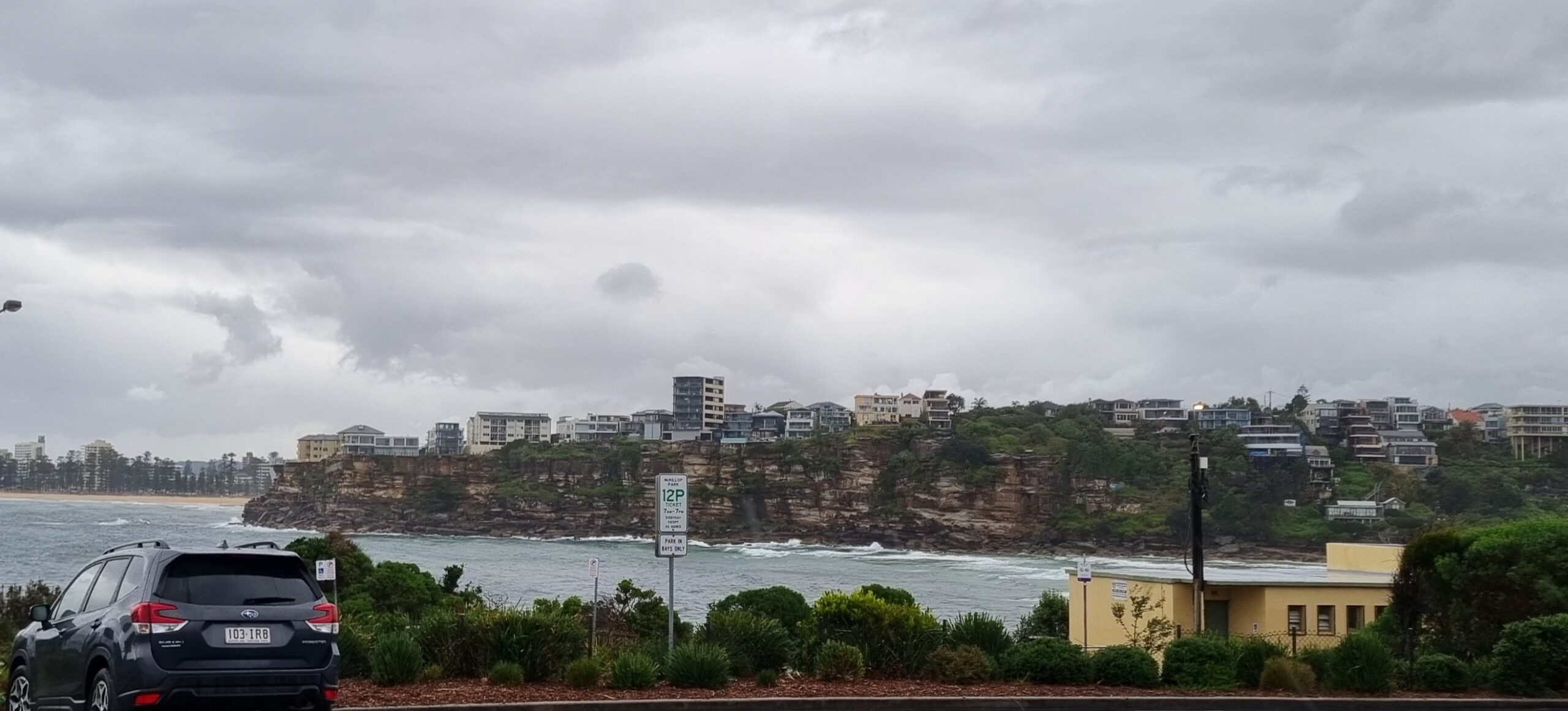
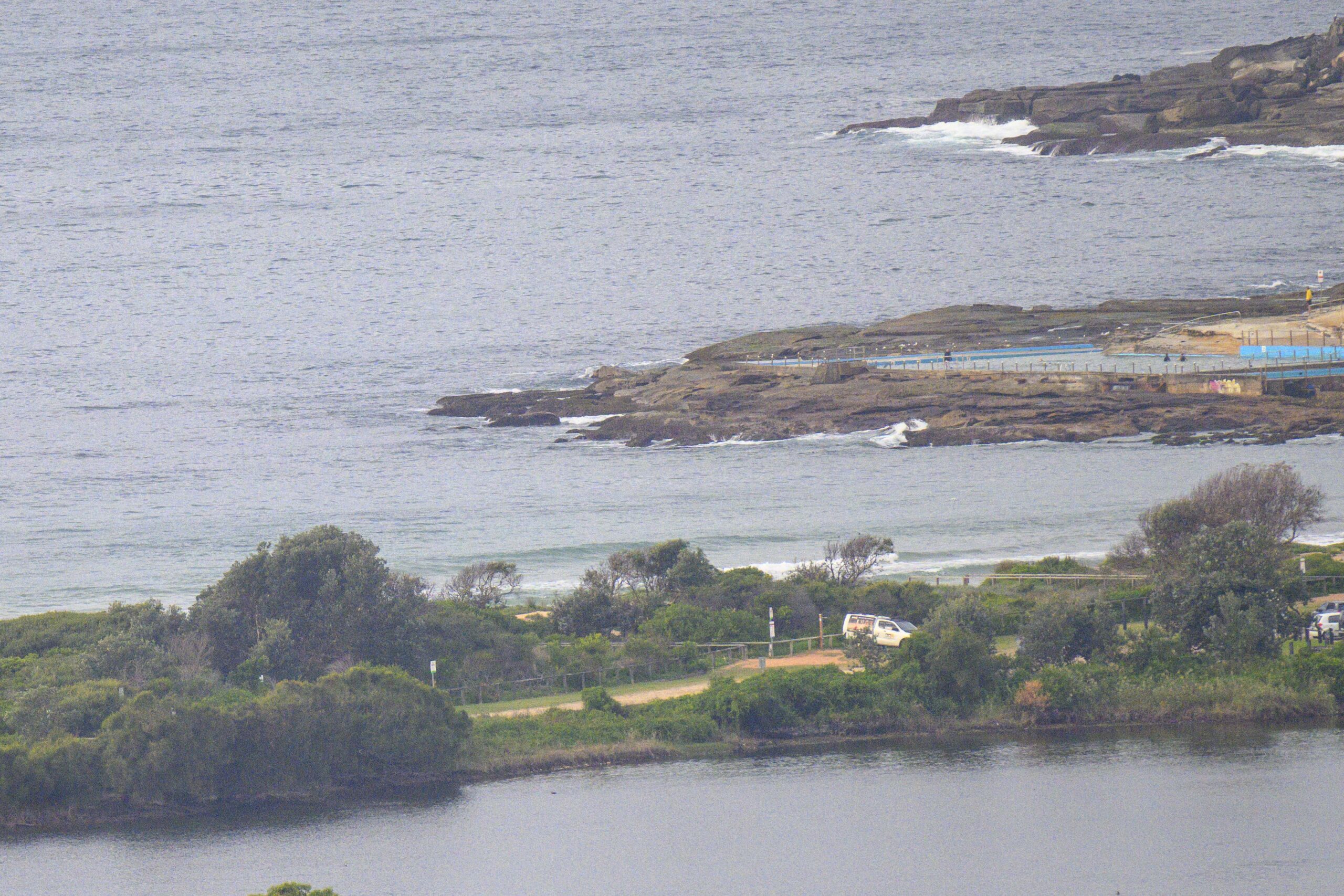
Some sunshine around as the day got started, but Huey’s somewhere else (if Dee Why’s any guide). A high tide for the early wasn’t contributing too much either. Mind you, I’m not really sure what tide would work for the banks at the moment. Despite that pulse last week, the northern beaches seem to be suffering from an abundance of straight-handers. At one point or another over the weekend I saw endless shutdowns at Curly, Dee Why, Narrabeen, Warriewood and Mona Vale. You really need to time it with tide, wind and swell obviously.
We’re due to have rain tomorrow and it looks as though there won’t be a significant change to the wave settings until around Wednesday when there could be another little uptick. The latest run of the models is pointing toward a gradual build into the 2-3 metre range for Thr-Friday.
We shall see… the models propose and Huey disposes.
Have yourself a top old day!


TIDES: H @0720, L @1300
Sydney Coastal Waters, Broken Bay to Port Hacking and 60nm seawards:
Strong Wind Warning for Tuesday.
Monday until midnight: Wind: Northeast to northwesterly 5 to 15 knots tending northerly up to 10 knots around midday then tending northeasterly 10 to 15 knots during the afternoon. Winds 15 to 25 knots later in the evening.Sea: Below 1 metre increasing to 1.5 to 2 metres later in the evening.Swell: Southeasterly 2 metres.
Tuesday: Wind: Northerly 15 to 25 knots, reaching 30 knots at times, becoming 20 to 25 knots around midday then increasing to 20 to 30 knots by early evening. Winds 15 to 25 knots later in the evening.Sea: Up to 3 metres decreasing to 2 metres around midday.Swell: Southeasterly 2 metres.
Wednesday: Wind: West to northwesterly 10 to 20 knots tending westerly 10 to 15 knots during the morning then increasing to 15 to 20 knots during the afternoon. Winds northwesterly 20 to 25 knots during the evening.


