Hello Friends,
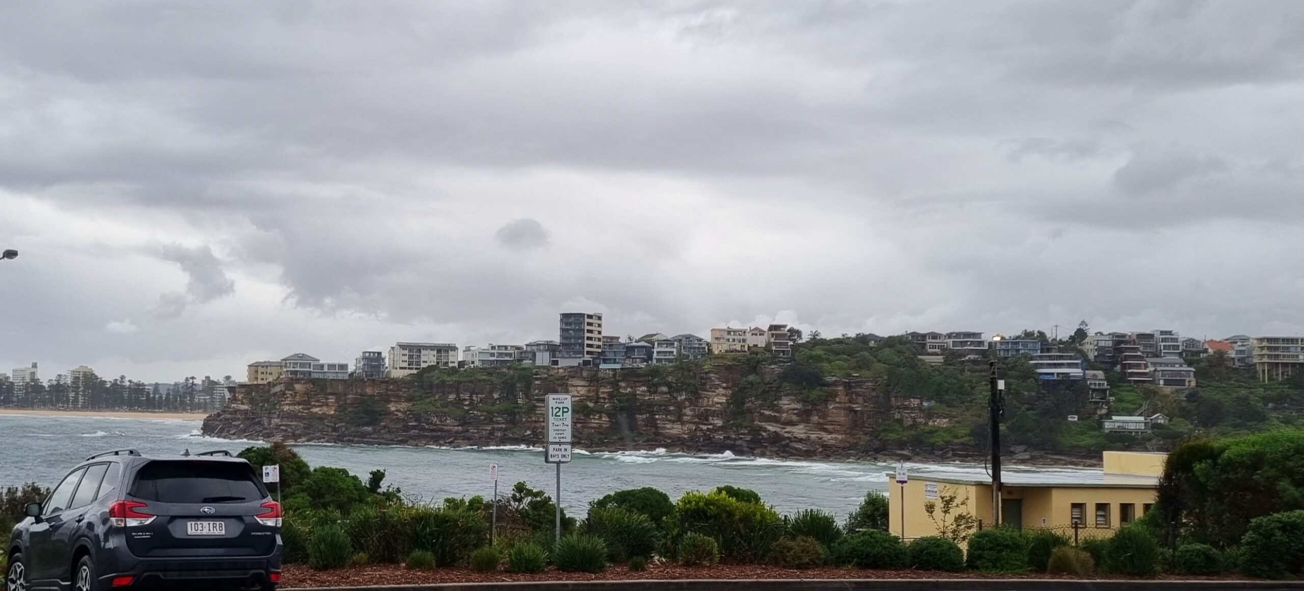
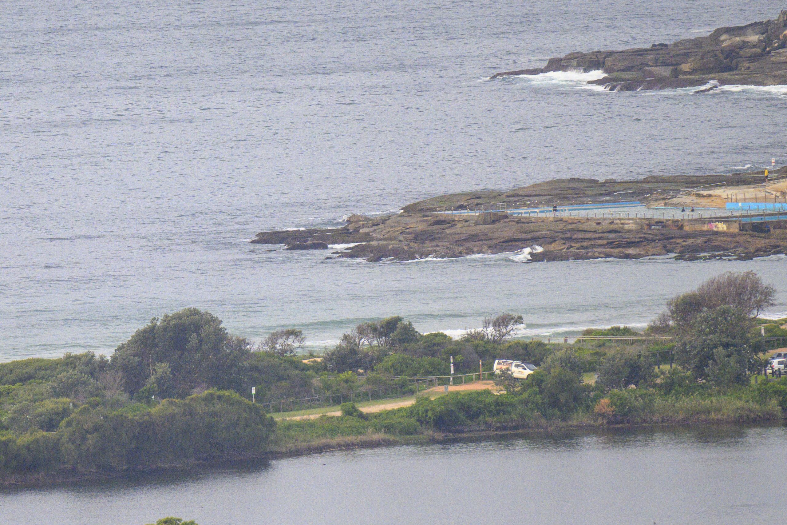
Big and raw looking south swell pushing into the Sydney region this morning. Wind is out of the WSW in the 10-15kt range and our next tide is a high at around 1030. Dee Why is showing wave faces in the 3 metre range with the odd bigger one sliding through.
The wind is set to be a factor all day, although the Bureau says it should slacken a little toward evening. Still, WSW isn’t a bad direction, so there should be a few options around this morning for the experienced crew. Beginners should stay out of the water.
The swell should pretty much stick around at about the current size for the rest of the day. Tide settings point to the most interesting conditions happening this afternoon and there should still be some energy to be getting on with tomorrow morning.
I’m planning to get out and about with a camera, so I hope to have a few snaps for you later.
Have yourself a top old day and stay in touch!
Sydney Coastal Waters, Broken Bay to Port Hacking and 60nm seawards:
Gale Warning.
Friday until midnight: Wind: South to southwesterly 20 to 30 knots inshore, 30 to 35 knots offshore, decreasing to 20 to 30 knots by early evening then tending southerly 20 to 25 knots later in the evening.Sea: Up to 4 metres decreasing to 2 metres later in the evening.Swell: Southerly 2 to 3 metres.
Saturday: Wind: Northwest to southwesterly 10 to 20 knots tending north to northwesterly around midday.Sea: Up to 1.5 metres.Swell: Southerly about 2 metres.
Sunday: Wind: Northwesterly 15 to 25 knots tending west to northwesterly 15 to 20 knots during the afternoon then tending westerly up to 30 knots during the evening.


