Hello Friends,
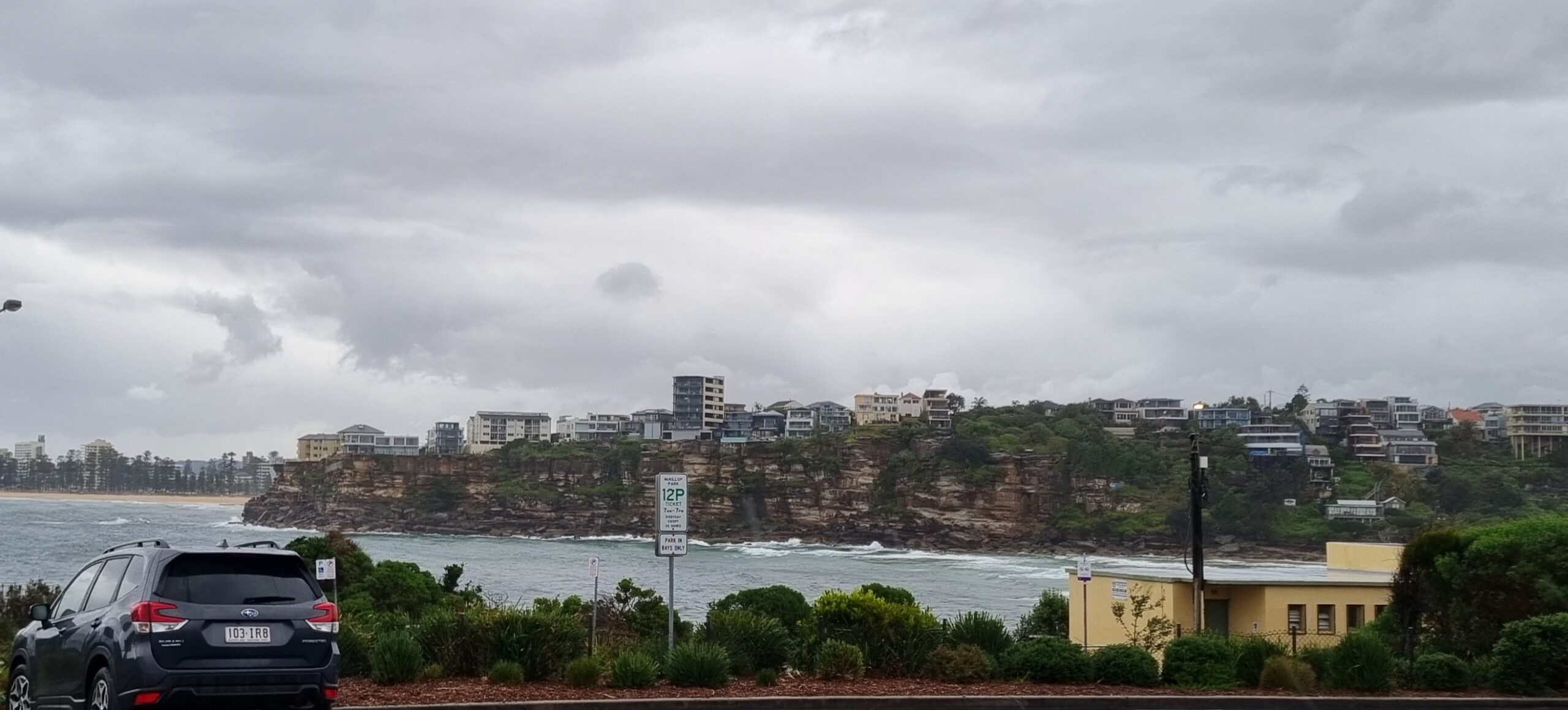
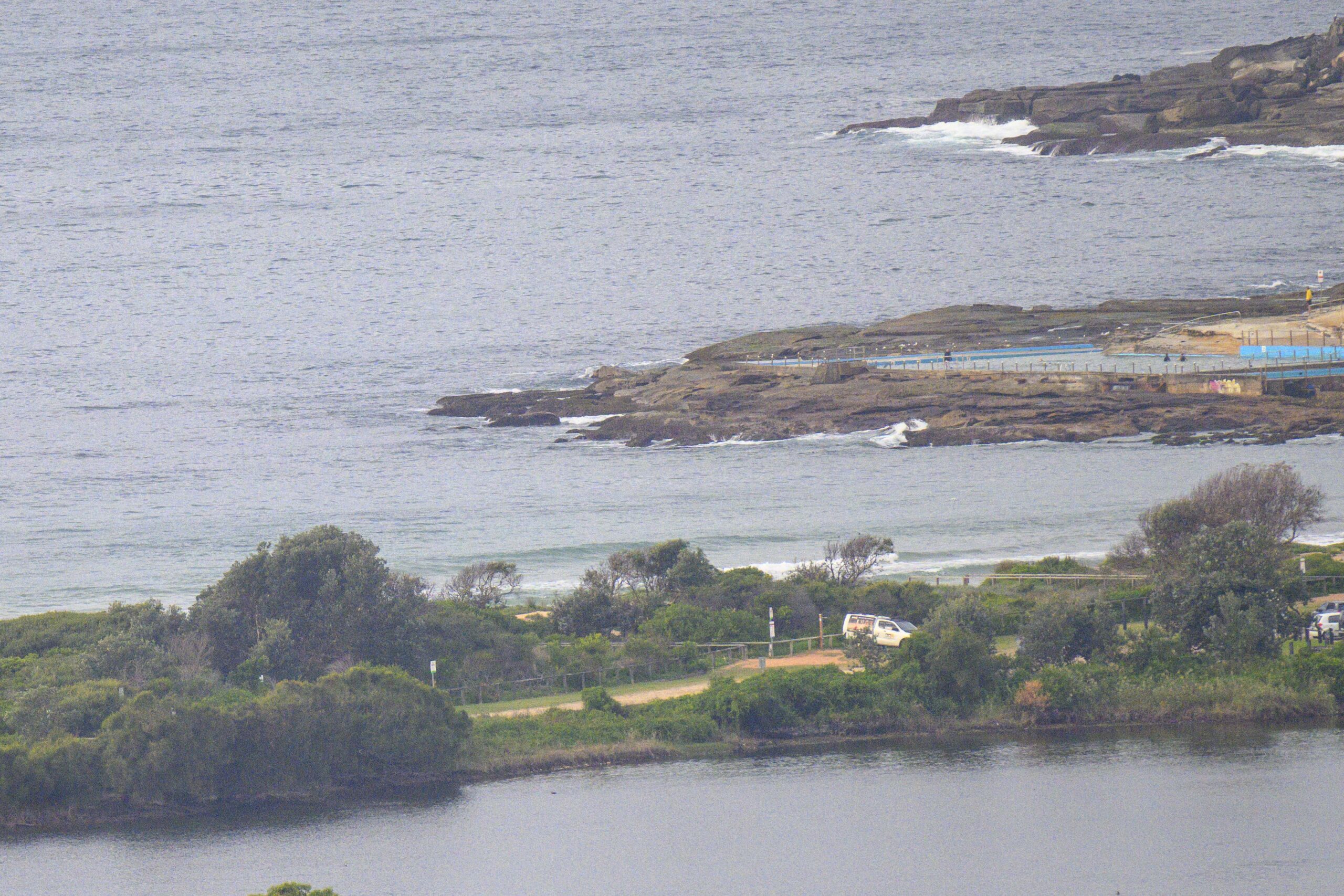
Ah, now that is interesting. I was hoping we might see a little energy come our way later today, but first light sees some nice looking corduroy effects at Dee Why and a glance at the MHL Sydney data shows a couple metres of 9 second period swell from the south. Wind is out of the WSW at around 15kts on gusts.
The Bureau says it will go more southerly as the day unfolds. Looks like the plan will be to get in early if you can.
Outlook is for this little pulse to weaken gradually over the next 24 hours as we slump back into a stretch of more marginal conditions.
A good mate of mine is out from California atm, so we’re going to make a quick surfari north to see what we can find… if we find anything, you’ll hear about it!
Go well with your day.

Sydney Coastal Waters, Broken Bay to Port Hacking and 60nm seawards:
Tuesday until midnight: Wind: South to southwesterly 10 to 20 knots tending southeast to southwesterly up to 10 knots during the afternoon.Sea: Up to 2 metres decreasing to below 1 metre during the afternoon.Swell: Southeasterly about 1 metre tending southerly 1.5 metres during the evening.
Wednesday: Wind: North to northeasterly 5 to 15 knots tending northerly 15 to 20 knots around dawn then increasing to 20 to 25 knots around midday. Winds 20 to 30 knots later in the evening.Sea: Below 1 metre increasing to 1.5 to 2 metres during the morning then increasing to 3 metres by early evening.Swell: Southerly about 1.5 metres.
Thursday: Wind: Northerly 15 to 25 knots tending northwesterly up to 30 knots during the morning then tending west to northwesterly 20 to 25 knots during the evening.


