Hello Friends,
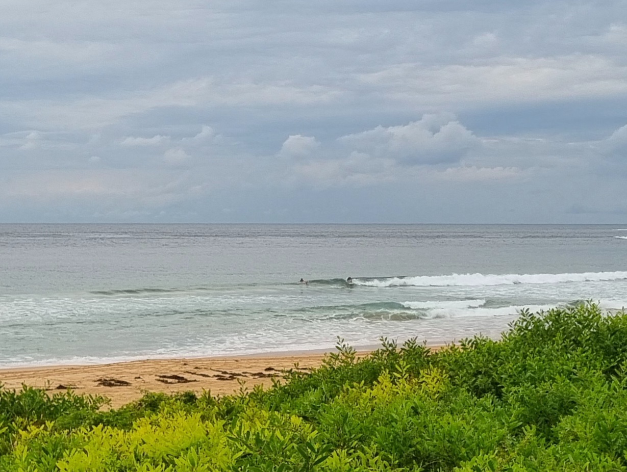
According to the latest from the Bureau, the little set I watched arrive at Dee Why this morning should be a harbinger of more to come as a south pulse begins to fill in along the Sydney coastlne. As the tide drops to a low at midday, the swell is expected to get into the two metre range. But the wind’s likely to be an issue as it swings from the SW to S and SE. Average period is around the ten second mark so that should mean the odd head high set at the more exposed spots. Could be some fun before that wind swings…
This morning’s run of the WAMs reveals that the supercomputers calculate that we’ll have another couple days of waves out of the south before things drop into a typical springtime routine of marginalness.
So, all and all, not a bad way to kick off the week.
BTW, I’ll be posting a fresh gallery of pictures taken at Curly yesterday from around 1pm. There were a few fun ones in the mix thanks to the offshores and occasional head high sets.
Go well!
From the Bureau
Forecast for Monday until midnightWinds: Westerly 10 to 20 knots tending southwesterly up to 15 knots around midday then tending south to southeasterly up to 10 knots during the afternoon. Winds tending west to southwesterly up to 10 knots later in the evening. Seas: Up to 1.5 metres decreasing to below 1 metre by early evening. Swell: Southerly about 1 metre increasing to 2 metres from the late morning. Swell: Northeasterly 0.5 to 1.5 metres.
Forecast for TuesdayWinds: West to southwesterly 10 to 15 knots tending south to southwesterly 15 to 20 knots during the morning. Seas: Below 1 metre increasing to 1.5 to 2 metres during the morning. Swell: Southerly 2 to 3 metres.
Forecast for WednesdayWinds: Southerly 10 to 15 knots decreasing below 10 knots during the afternoon then tending east to southeasterly during the evening. Seas: Below 1 metre. Swell: Southerly about 2 metres.


