Hello Friends,
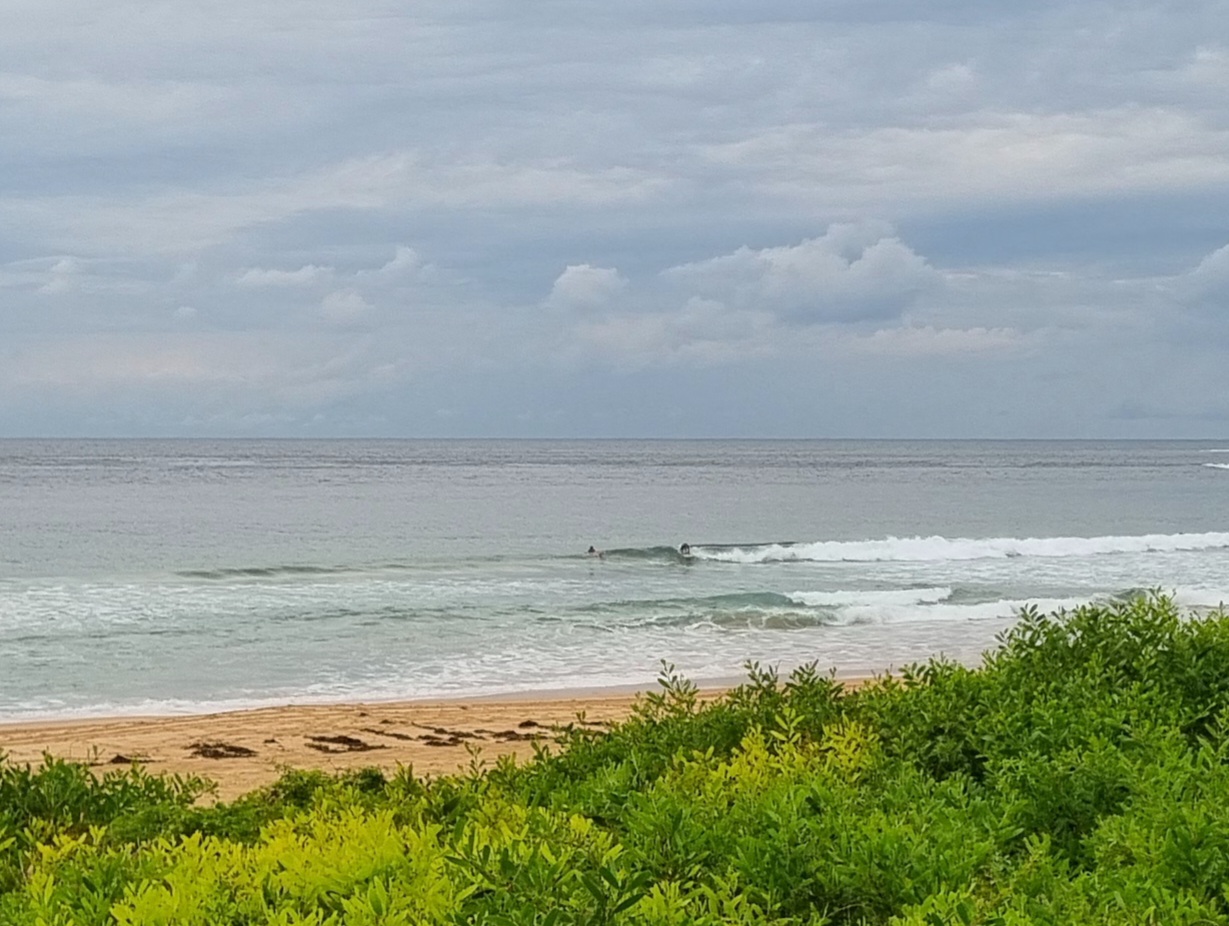
Went for a beach walk this morning and as usual had the camera with me. I was mildly surprised to see a dozen or so folks hanging out at the northern extent of no man’s because it looked nearly flat. But then a soft little waist high set wave appeared and a couple people got into it – high tide notwithstanding. On my walk back up the beach I saw a couple locals sitting off the beach waiting. Again, it looked hopeless and then after 15 or 20 minutes, another small but catchable thing perked up and actually threw out enough for a quick cover. Tremendous patience will be required, but if you don’t mind only three or four opportunities an hour, it could be worth the effort…


earlier I wrote…
As expected, we’re still looking at small to near flat conditions this Monday morning. Swell is about a metre from the south and although this morning’s MHL data shows an average period of 14 sec, there’s nothing much showing at Dee Why. And from the shape of the forecasts, it’ll pretty much stay that way for the remaining daylight hours.
From tomorrow the models reckon we start to move in a more promising direction. The Bureau says we Sydneysiders can expect a little south pulse to be evident by midday.
Those same models are still showing us settling into southerly regime for the next week. And the various riffs on the WAM data continue to point to big to very big conditions from Friday through to Saturday across the NSW coast as a very long fetch forms up in the southern ocean. This morning the guesstimate is for 3-4 metre plus faces at south spots from around Friday morning, with the peak energy arriving sometime overnight and into Saturday.
Looking like a week for frontloading responsibilities into the first couple days in order to leave the decks clear from Thursday onward…
Go well with your plans today!

Weather Situation
A high pressure ridge lies over the northern Tasman Sea. A trough is expected to cross the state during Monday and Tuesday, before a low deepens off the southern coast later on Tuesday and early Wednesday. Winds during this time are likely to increase, with the direction dependant on the development and position of the low.
Forecast for Monday until midnightWinds: West to northwesterly 10 to 15 knots becoming northwesterly 10 to 20 knots around midday then decreasing to 10 to 15 knots during the afternoon. Seas: Below 1 metre increasing up to 2 metres around midday then decreasing to below 1 metre later in the evening. Swell: Northeasterly about 1 metre.
Forecast for TuesdayWinds: North to northwesterly 5 to 15 knots tending north to northeasterly 10 to 20 knots around dawn then tending northerly 20 to 25 knots around midday. Winds tending west to northwesterly 25 to 30 knots during the afternoon. Seas: Below 1 metre increasing to 1.5 to 2 metres during the morning then increasing to 2 to 3 metres during the afternoon. Swell: Easterly about 1 metre tending southeasterly about 2 metres from midday.
Forecast for WednesdayWinds: Southwesterly 20 to 30 knots tending west to southwesterly 15 to 25 knots during the afternoon. Seas: Up to 4 metres decreasing to 2 metres during the afternoon. Swell: Southerly about 2 metres.

