Hello Friends,
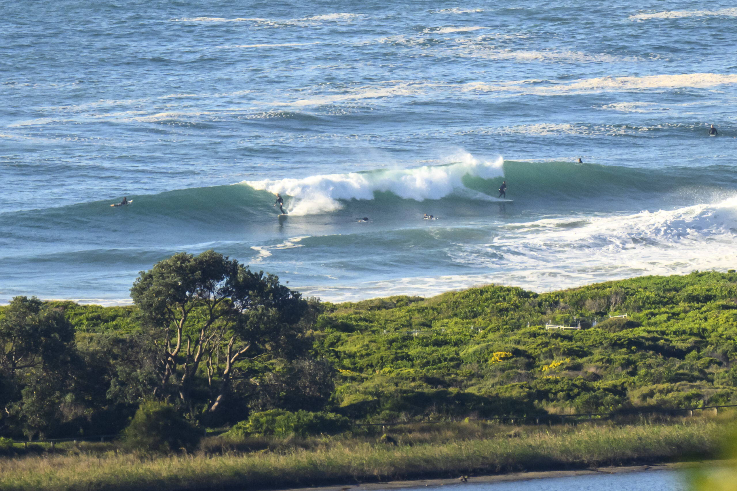
Beautiful Saturday morning in Sydney and as an extra bonus, we have a few small SSE waves too. Nothing big, but the period was a reasonable 11 seconds or so and that means the occasional chest high set turning up at spots such as Dee Why that like the swell direction. The models say that the swell should pick up a little as the day goes along, so with luck, by lunch there could be the odd head high bomb at the exposed spots.
Outlook is for the swell to fade overnight and leave us only a few minor scraps tomorrow. It then looks as though next week will be pretty small to flat until the next pulse comes in around Wednesday.
So get out and enjoy your Saturday!
Tides: H @0900, L @1515
Weather Situation from the BoM
A broad high pressure ridge lies across the northern Tasman Sea, while another high lies to the west of New South wales. A trough of low pressure will bring a weak southerly change to much of the New South Wales coast later Saturday or Sunday before the ridge becomes dominant once again. Another trough looks like to bring a southerly change to region Tuesday and Wednesday.
Forecast for Saturday until midnight
Winds: Northwesterly 10 to 15 knots increasing to 10 to 20 knots during the morning then tending northwest to southwesterly up to 15 knots around midday. Seas: Up to 1.5 metres. Swell: Southerly 2 metres.Forecast for Sunday
Winds: Southeasterly 5 to 15 knots. Seas: Below 1 metre. Swell: Southerly about 2 metres decreasing to 1 metre late in the evening.Forecast for Monday
Winds: North to northwesterly 10 to 15 knots. Seas: Below 1 metre. Swell: Easterly 1 metre.


