Hello Friends
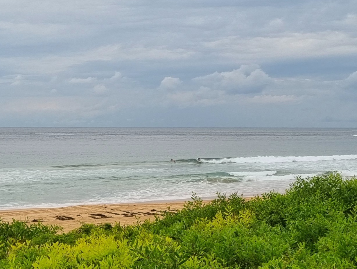
Looks like another day of onshores and showery weather for Sydney today. Swell’s into the two metre range, but those easterlies will mean conditions are going to be dire. And Huey’s got the onshores lined up for tomorrow as well. Not a good look.
Here’s the latest from those who know…
Weather Situation from the Australian Bureau of Meterology
A slow moving trough along the northern NSW/ southern Queensland coast is expected to deepen with a relatively weak low pressure system likely to form just off the coast early Monday morning. The trough and low should gradually weaken Tuesday and Wednesday. A strong, slow moving high pressure system lies over the Tasman Sea, extending a broad ridge to southern NSW. A weak trough will move into southwest NSW tomorrow then reach the South Coast Tuesday before an active cold front approaches NSW during Wednesday.
Forecast for Monday until midnightWinds: Easterly 10 to 20 knots decreasing to 10 to 15 knots during the afternoon. Seas: Up to 1.5 metres. Swell: Easterly about 2 metres. Isolated thunderstorms offshore this morning.
Forecast for TuesdayWinds: East to southeasterly 5 to 10 knots. Seas: Below 1 metre. Swell: Easterly about 2 metres.
Forecast for WednesdayWinds: East to northeasterly 5 to 10 knots becoming northeasterly 10 to 15 knots during the afternoon then increasing to 15 to 20 knots during the evening. Seas: Below 1 metre increasing to 1 to 1.5 metres during the evening. Swell: Easterly 1.5 metres.

