Hello Friends,
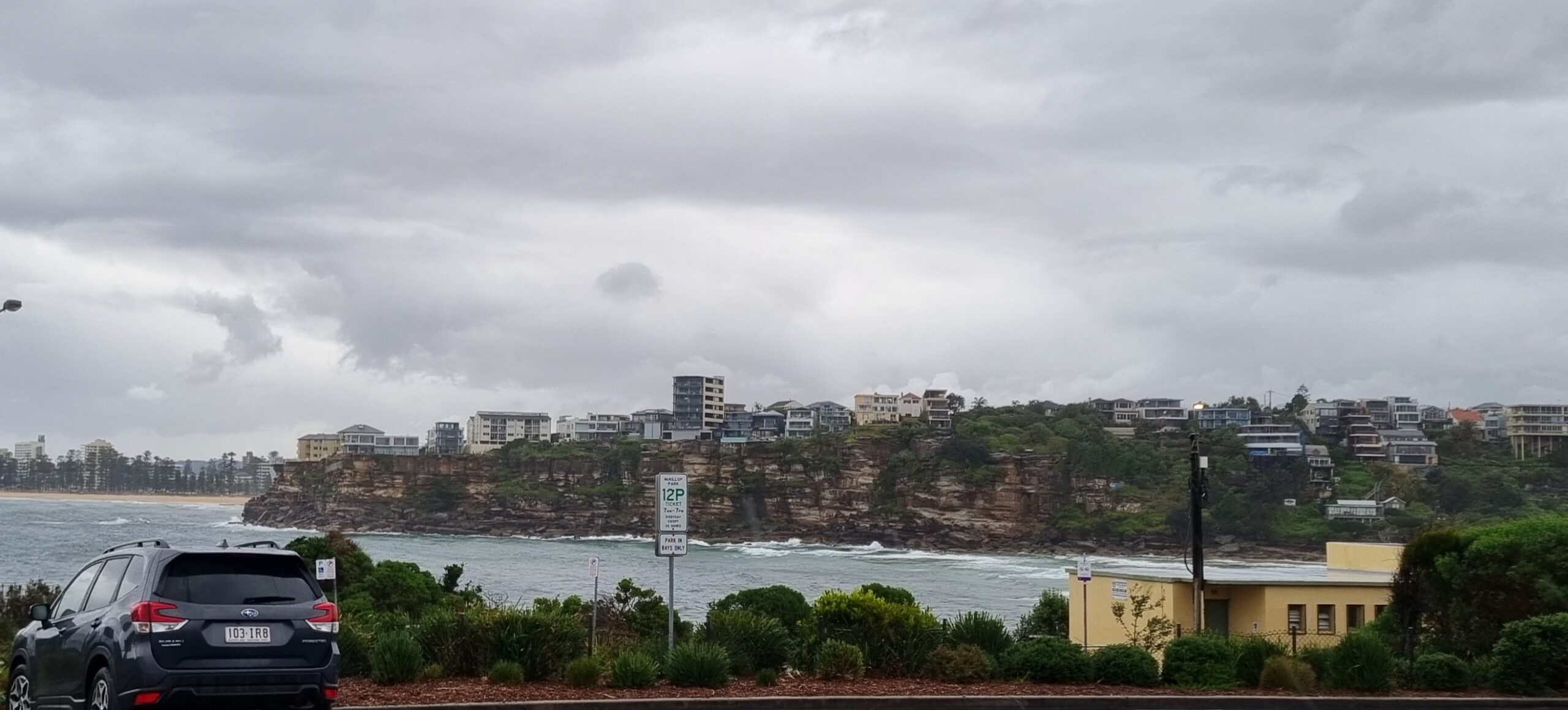
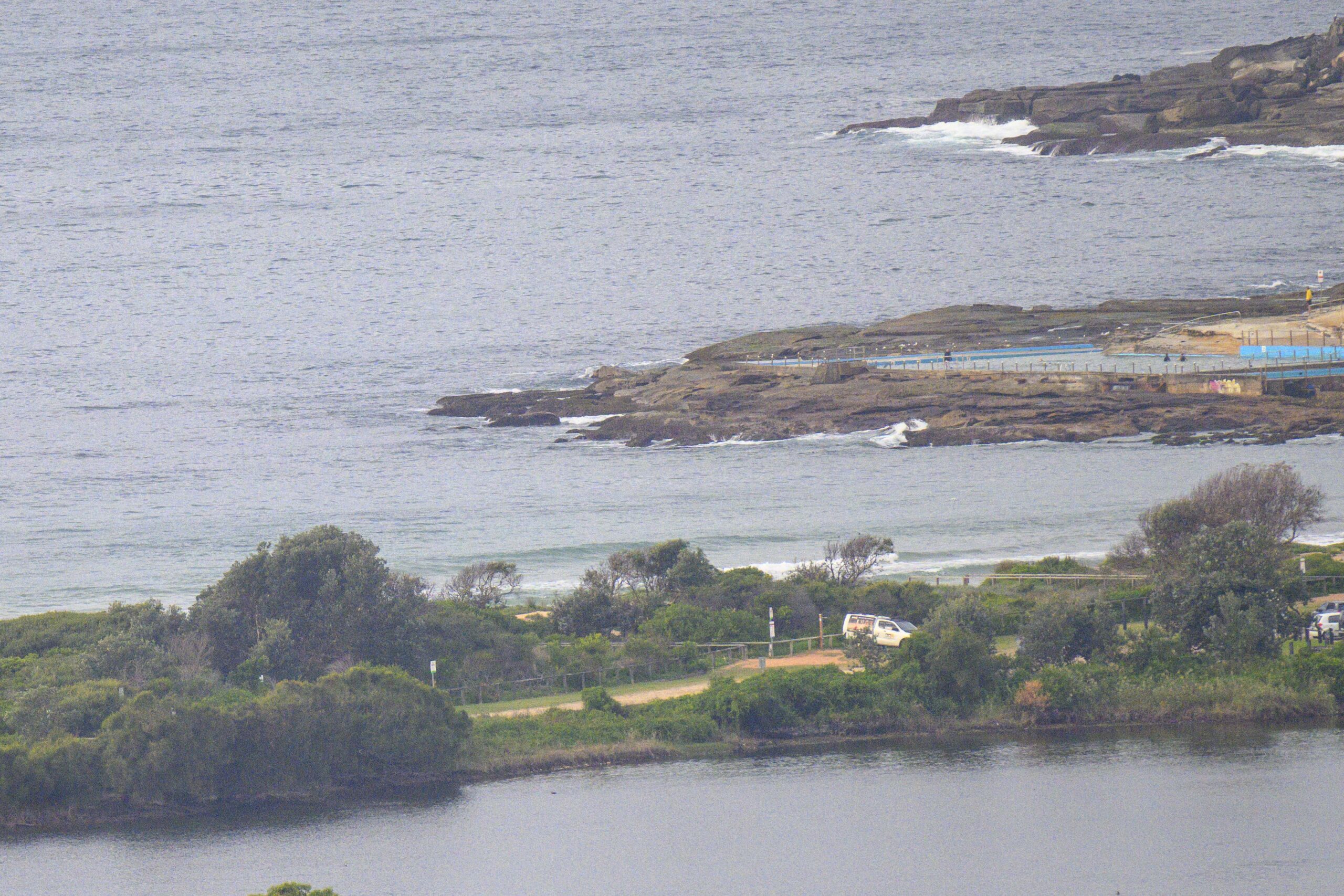
Grrr. Last night I was nurturing hopes for a little something in the surfable range this morning. After all, there had been some shoulder high – albeit very messy and short period – sets as Monday ended. But no. Not at Dee Why anyway. The MHL buoy is showing a metre of SE swell, but the period is only 7 seconds. But the waves at the south end of the Dee Why longy stretch were struggling to get into the knee to waist high range. Not only that, but there was quite a wait between catchable ones. Patience will be required. And, just to help matters along, the tide’s going to be high around 0950. At least the winds will be favourable.
Outlook for the coming week remains uninspiring. The energy levels this morning (such as they are) look likely to fade to near flatness by tomorrow morning. The models are suggesting that we might see a very slight uptick around Thursday late-Friday early as a weak, short-lived east to ene pulse arrives. Weekend outlook at this stage seems to be for more short period windswell with the best hope for surf options being at spots that like east.
As for the real long range outlook (ie next week), the latest guesstimates are suggesting that we might possibly be seeing something interesting forming up in the swell nursery NE of New Zealand. But if it does, and if it all breaks our way, I don’t think anything would be reaching us much before next weekend. In the meantime there are some improvements to the energy levels in the southern oceans also showing on the charts. So, maybe something will come from there before long… we live in hope, eh?
Go well with your plans today!
Weather Situation
A low pressure trough over the northwestern Tasman Sea will weaken today as ridge high pressure system extends eastwards from South Australia towards the New South Wales north coast. The high will move over NSW Wednesday preceded by a weak southerly change along the NSW coast, before moving rapidly towards New Zealand on Thursday.
Forecast for Tuesday until midnightWinds: Northwesterly 5 to 10 knots, turning north to northeast to 15 knots in the afternoon. Seas: Below 1 metre. Swell: Southeasterly 1 metre.
Forecast for WednesdayWinds: Northeast to northwesterly 5 to 15 knots tending south to southeasterly during the afternoon. Seas: Below 1 metre. Swell: Southeasterly about 1 metre. The chance of thunderstorms offshore in the morning.
Forecast for ThursdayWinds: South to southeasterly 15 to 20 knots tending east to southeasterly 10 to 15 knots during the afternoon. Seas: Up to 1.5 metres. Swell: Easterly 1.5 metres.


