Hello Friends,
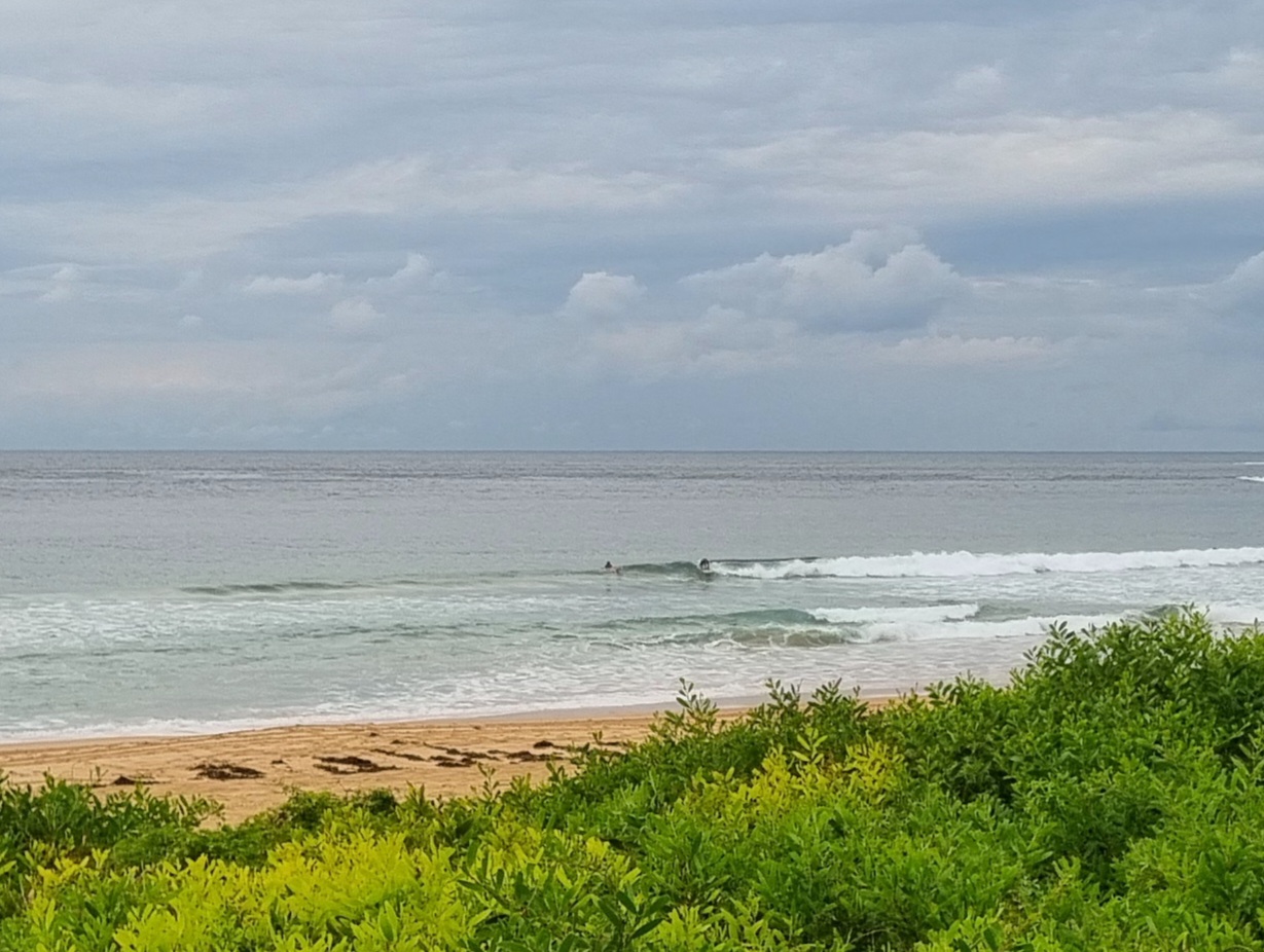
Errrrrrrr…..Crash!….tinkle… there goes our swell in Sydney. It’s still a couple metres from the south out at the MHL buoy, but Huey’s dialled the power setting back down to wind swell weakness of around 7 seconds. Add in a steady 15 kts of SSE wind and lowering grey skies and you have all the settings right for a good day to be at work or school.
The latest run of the forecast models does not bode particularly well for us. It pretty much looks as though we’re in for more spring maginalness. Plenty of short period wind swell in the knee to waist high range. Up a bit and down a bit as the Goat would say.
The next little bump could be tomorrow, but conditions aren’t set to be too inviting thanks to steady junk-inducing wind from the easterly quarters.

A high pressure system south of the Bight is slowly moving east extending a ridge to New South Wales north coast. The high will move over the southwestern Tasman Sea on Saturday and then it will move slowly towards New Zealand during Sunday maintaining the ridge to the north coast.
Forecast for Thursday until midnightWinds: South to southeasterly 10 to 20 knots becoming southeasterly during the afternoon then increasing to 20 to 25 knots later in the evening. Seas: 1 to 1.5 metres increasing to 1.5 to 2 metres later in the evening. Swell: Southeasterly about 1.5 metres tending easterly 1 metre during the evening.
Forecast for FridayWinds: Southeasterly 20 to 25 knots tending east to southeasterly 15 to 20 knots during the morning then tending easterly 10 to 15 knots later in the evening. Seas: 2 metres increasing to 3 metres around dawn then decreasing to 1.5 metres around midday. Swell: Easterly 1 metre.
Forecast for SaturdayWinds: Easterly 10 to 15 knots increasing to 15 to 20 knots during the afternoon. Seas: Up to 1.5 metres. Swell: Southeasterly 1 metre. Isolated thunderstorms during the evening.

