
Hello Friends,
MIDDAY UPDATE:

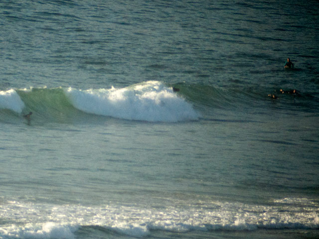
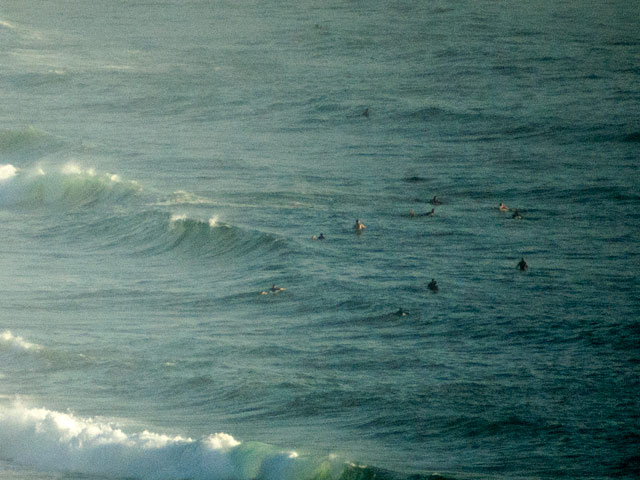
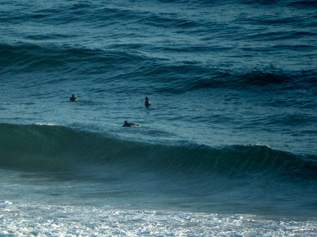
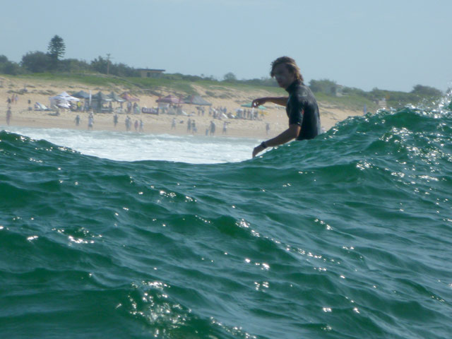
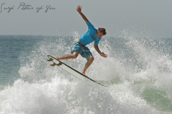
Went for a splash this morning. Started by checking south Narrabeen, but only an hour or so after I posted this morning’s pics, it was already looking much more ordinary. The banks are pretty straight along there at the moment, so on the lowish tide the chest high sets were crashing over in unmakeable style. There were a few bods having a go, but an extended watch did not see anyone even risk a take off. So I headed down to the Longy-Dee Why stretch for a look. Carpark was very busy because there’s a big club comp on. I walked down toward the pole and after watching it for a bit decided to just get wet. If I caught any waves, it’d be a bonus.
Water was kinda chilly. But then we have had NE’rly wind for a few days and that always knocks the temps down. Sets were struggling to make chest high and even then, the short period and steadily increasing onshore insured that they were kinda weak and slow. Anyway, it was good to be in the ocean and paddling around with the hope of a wave on a beautiful spring morning in Sydney. Ya wouldn’t be dead for quids!
Outlook is for the wind to pick up as the day goes along, so there might be some wind swell ramps and lumps worth chasing as we get toward dusk. Bureau says the wind will power on through the night and still be going stiffly tomorrow morning. That being the case, we could maybe see the average size at rideable spots improving over this morning’s offerings. The NEr is set to build up again tomorrow afternoon. Overnight Sunday the Bureau says it’ll go more north, so I’m thinking there is a chance the early on Monday could be worth the effort. We shall see!
Hey, don’t forget to check out www.welovewaves.org for all the latest on next weekend’s conference. Programs with this kind of direct focus on matters of concern to surfers really don’t come along too often, so I hope to see a few of you there!
earlier I wrote
We’ve got some waves this morning. As hoped for overnight, the steady NE has kicked up some rideable wind swell waves at spots exposed to the primary NE direction of the energy. Sets are into the chest high range, so it’s a bit bigger than I’d anticipated yesterday. Tide’s coming in this morning, so there’s another reason to get yourself out and about for a look.
Weather Situation
A high over the Tasman Sea extends a ridge to southeast Queensland, while a low pressure trough lies across western New South Wales, where it will remain through the weekend. A vigorous northerly airstream will affect coastal regions during this period as a marked pressure difference develops between the two systems, although a brief southerly change will affect southern parts this evening as a front passes to the south.
Forecast for Saturday until midnight
Winds: North to northeasterly 15 to 25 knots inshore, reaching 30 knots offshore. Seas: 2 to 3 metres. Swell: Northeasterly about 1 metre.
Forecast for Sunday
Winds: North to northeasterly 20 to 30 knots decreasing to 15 to 25 knots around dawn then becoming northeasterly 25 to 30 knots later in the evening. Seas: Up to 3 metres decreasing to 2 metres around midday then increasing to 2 to 3 metres later in the evening. Swell: Northeasterly 1.5 metres.
Forecast for Monday
Winds: Northerly 10 to 20 knots, reaching 25 knots at times, decreasing below 15 knots during the morning then tending northeast to southeasterly up to 10 knots during the afternoon. Winds tending northwest to southwesterly up to 20 knots during the evening. Seas: Up to 3 metres decreasing below 1.5 metres during the morning. Swell: Northeasterly about 1.5 metres. Scattered thunderstorms from midday.
The next routine forecast will be issued at 4:05 pm EDT Saturday.

