Hello Friends,
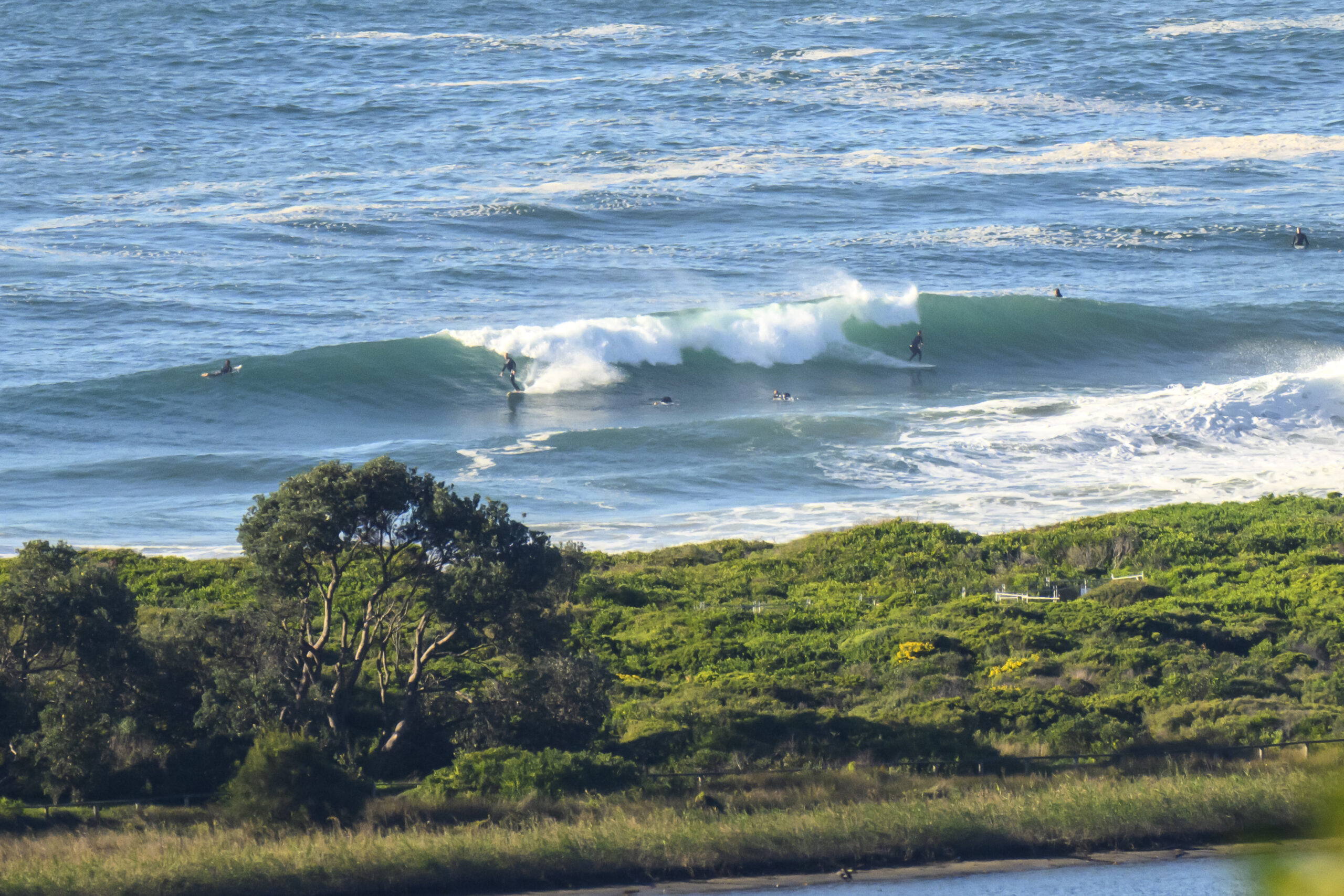
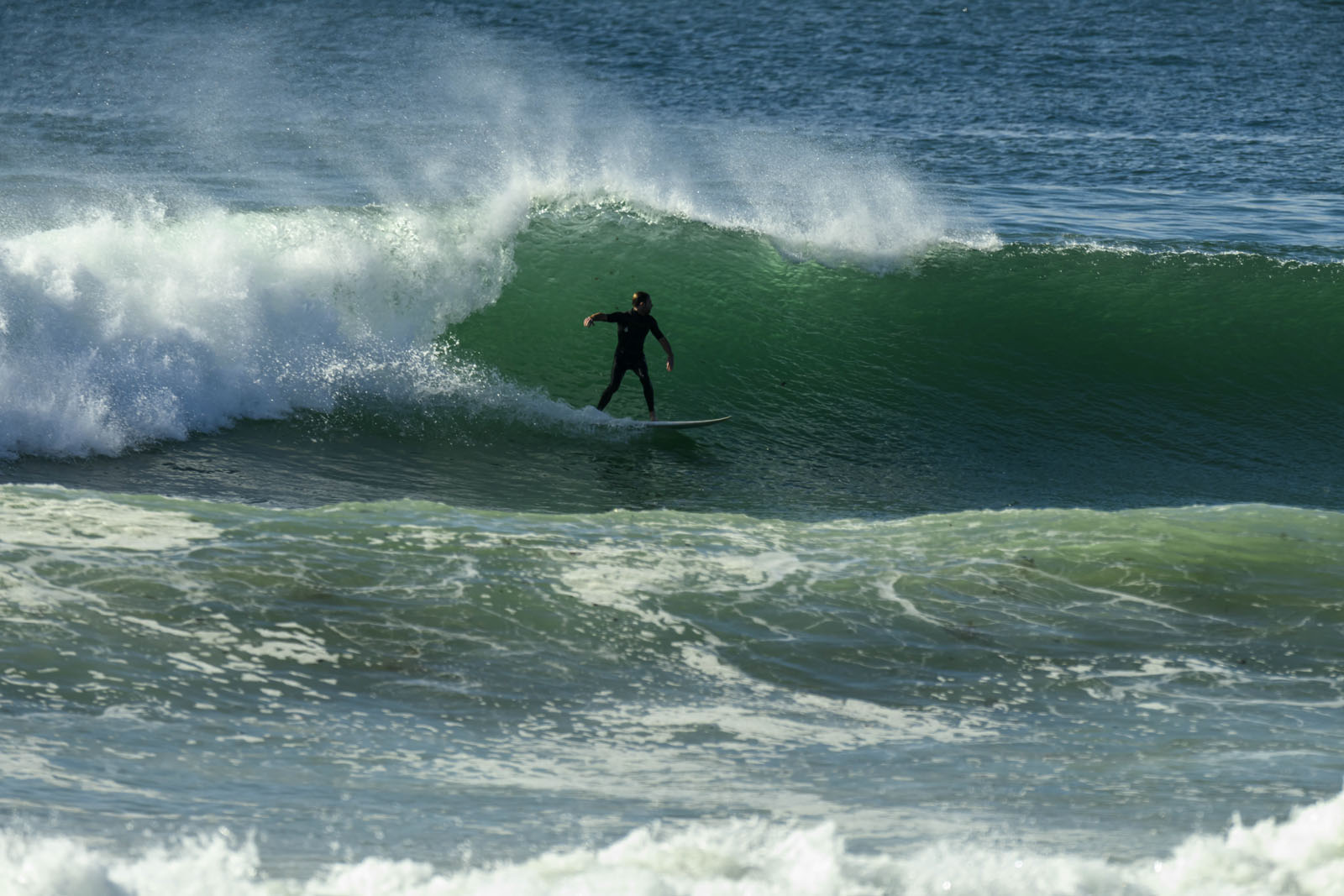
Wind is going along from the NNE at 15-20 kts this morning under grey skies. The MHL buoy off Sydney is showing two metres of 7 second east wind swell, but it sure isn’t anything like 2 metres at Dee Why. Every now and then a just barely catchable little thing flips over at the point. However if there are any waves bigger than waist high, I’d be very surprised. At around 0830, there was a single bodyboarder chasing the aforementioned bumps, and a few beginners messing around in the knee high dribble at kiddies. Obviously not the first place to check for a wave this morning.
The wind is set to back off by this afternoon according to the forecast, but it seems to me to have already done so. With the drop in energy input, I’d expect the little wind swell to weaken further.
The latest run of the models suggests our surf prospects in Sydney are slumping toward flatness across the middle of the week. However, the Bureau’s version of the data is currently saying we might have another NE wind swell day on Tuesday. Hope they’re right and that the other interpretations are too pessimistic. At the outer extreme of the forecasts, there seems to be hope of some longer period east swell for next weekend… wouldn’t that be good!
Have yourself a good one!
Weather Situation
During Sunday a cold front will move over the southwestern Tasman Sea bringing southerly change to New South Wales southern half of the coast and a ridge on the north coast will weaken. Behind the front a high pressure system is expected to move over the southern Tasman Sea by Tuesday extending a ridge to the north coast.
Forecast for Sunday until midnight
Winds: Northerly 20 to 30 knots tending north to northeasterly 15 to 25 knots around midday then decreasing to 15 to 20 knots by early evening. Seas: Up to 3 metres decreasing to 2 metres during the afternoon. Swell: Northeasterly 1.5 metres. The chance of thunderstorms inshore from midday, extending throughout this afternoon and evening.
Forecast for Monday
Winds: North to northwesterly 10 to 20 knots, reaching 25 knots at times, tending southwesterly up to 30 knots around dawn then tending south to southwesterly 10 to 15 knots during the morning. Winds tending southeasterly 10 to 20 knots around midday. Seas: Up to 2 metres. Swell: Easterly 1.5 metres. Isolated thunderstorms.
Forecast for Tuesday
Winds: Northeasterly 20 to 25 knots. Seas: 1.5 to 2 metres. Swell: Easterly 1.5 metres. Isolated thunderstorms contracting offshore during the evening.


