Hello Friends,
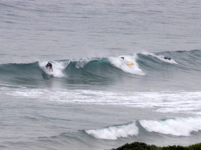
The Bureau got the precipitation prediction right this morning but the overnight call for brisk winds this morning, missed the mark. So, it was glassy along the Collaroy-Narrabeen and Dee Why-Longy stretches – which is a good thing because the tide was high at 0640 and the little wind swell was just barely making itself felt at a few banks.
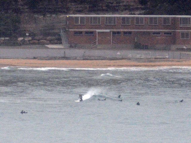
Northy had a reasonable population in the water by 0630, but there was a long wait between sets and the metre of 7 sec period east wind swell was/is struggling to make wave faces much above waist high.
It was pretty much the same around at the No Man’s to Dee Why stretch, ie long waits for weak, small and marginal wind swell waves.
Huey still has us in a holding pattern and there is every indication that it will continue in much the same way through to next week. The best shot at a wave will probably be in the afternoons at spots that like the east wind swell – and can cope with the afternoon NE’r.
Have yourself a top old Saturday!
Weather Situation
A stationary high pressure system over the Tasman Sea extends a ridge to the New South Wales north coast. Little change in the synoptic situation is expected during the next few days, with a generally northeasterly airstream being maintained along the state’s coast.
Forecast for Saturday until midnight
Winds: Northeasterly 5 to 10 knots inshore at first, otherwise north to northeasterly 10 to 20 knots. Seas: 1 to 1.5 metres. Swell: Easterly 1 metre.
Forecast for Sunday
Winds: Northeasterly 5 to 15 knots. Seas: Below 1 metre. Swell: Easterly about 1.5 metres.
Forecast for Monday
Winds: East to northeasterly 10 to 15 knots. Seas: Below 1 metre. Swell: Easterly 1.5 metres. Isolated thunderstorms from midday.