Hello Friends,
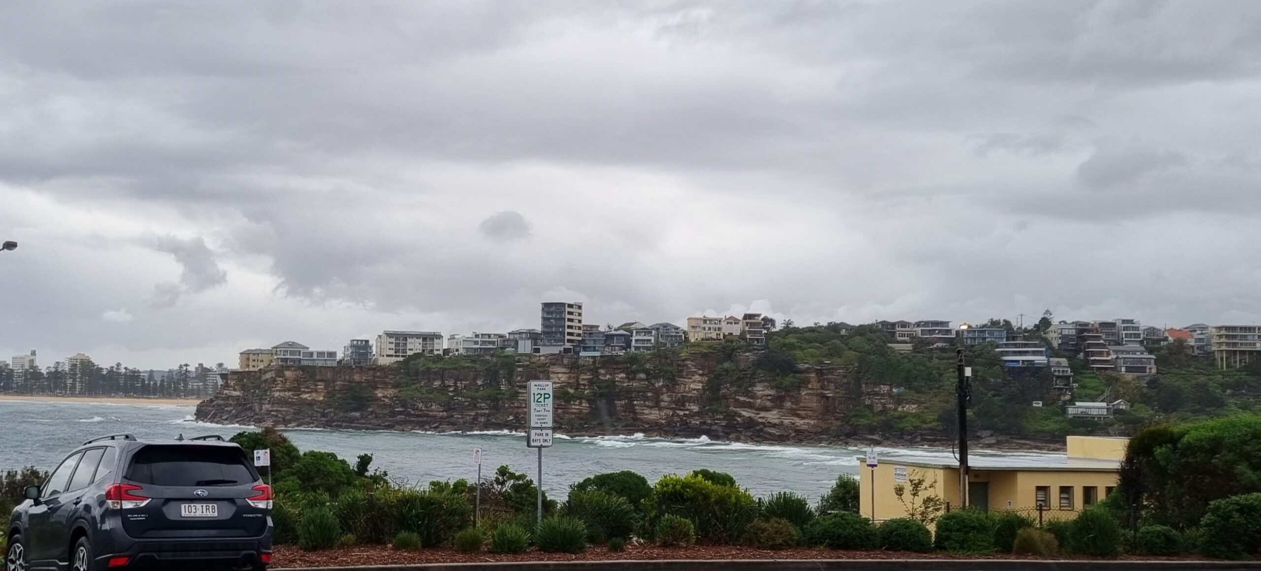
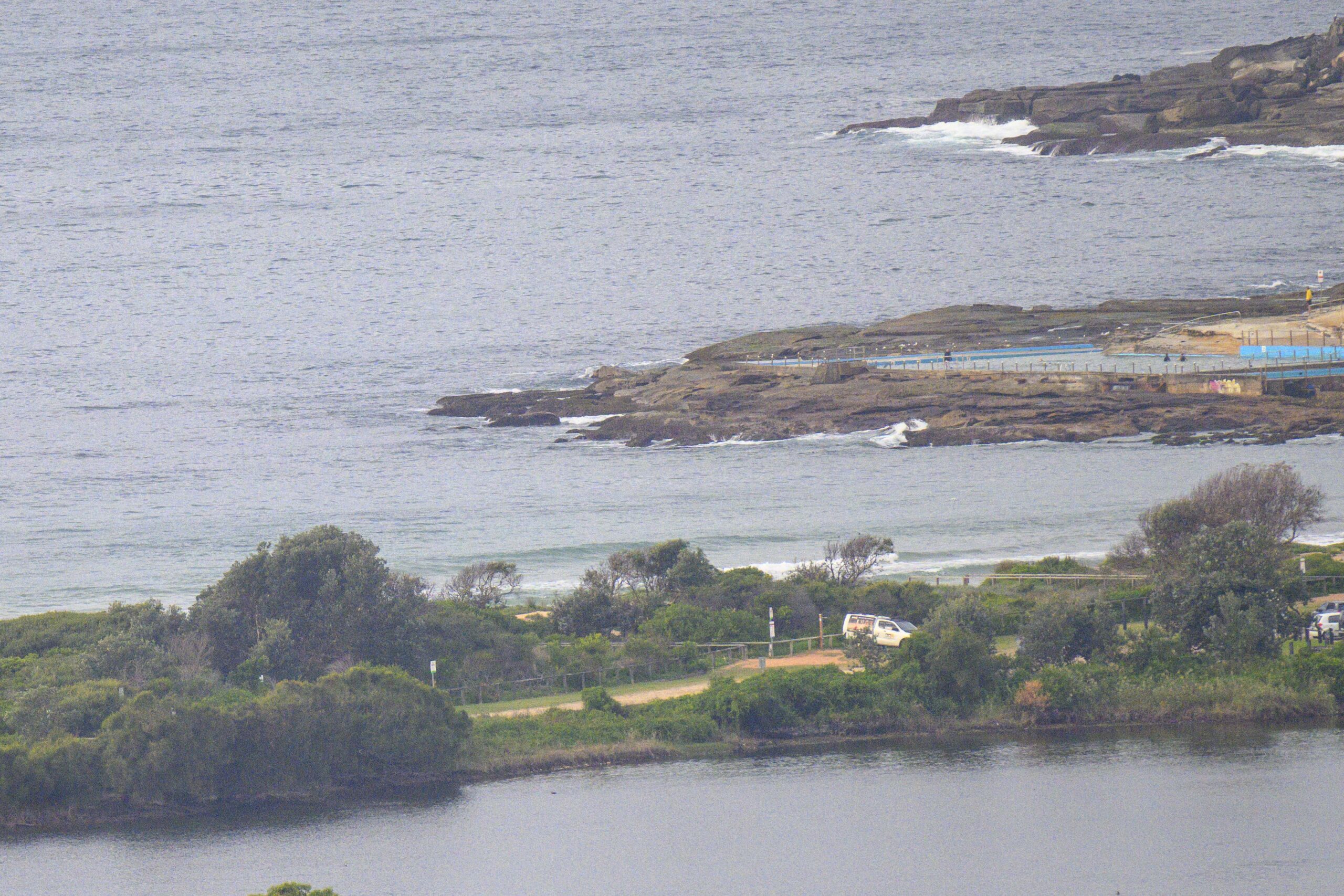
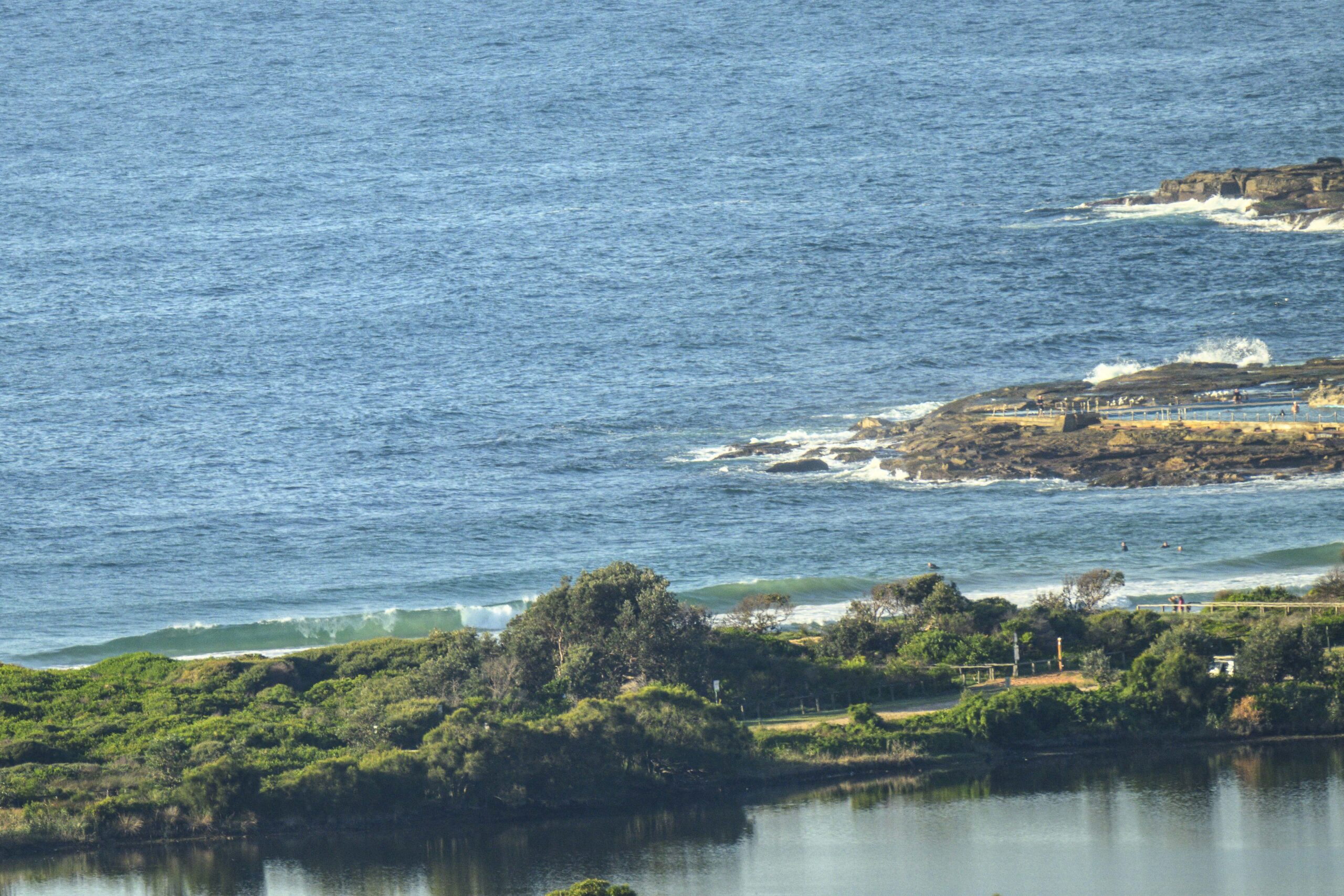
Wind this morning was out of the S-SW at around 20 kts, but the Bureau says it’ll soon be around to the south and south east. Swell was coming weakly from the south and was only about a metre at sea. There’s just not much happening wave wise. Checked the Collaroy-Narra and Dee Why- No Man’s stretches and did not see anything catchable with less than a SUP. Waves were ankle to knee high – if that. Water temp slumped late last week and is currently oscillating between around 17.5 and 18.5 – yikes!!
The flatness continues.
Outlook is for the minor conditions to go on for at least the next 48 hours. We might possibly get a tiny bump upward into the just barely surfable range toward the end of the week, but it’s not looking spectacular by any stretch of the imagination.
Ah well, keep on smilin’ and have yourself a top old day.
Weather Situation
A front and associated southerly change on the Mid North Coast is expected to weaken during Monday morning. A high pressure system is expected to develop over the Southern Tasman Sea on Tuesday with winds along the NSW coast tending east to northeasterly.
Forecast for Monday until midnight
Winds: South to southeasterly 15 to 20 knots. Seas: 1 to 1.5 metres. Swell: Northeasterly 0.5 metres.
Forecast for Tuesday
Winds: South to southeasterly 5 to 15 knots tending east to southeasterly about 10 knots during the afternoon then tending east to northeasterly by early evening. Seas: Below 1 metre. Swell: Easterly 0.5 metres.
Forecast for Wednesday
Winds: North to northwesterly 5 to 15 knots tending north to northeasterly during the afternoon then increasing to 15 to 20 knots during the evening. Seas: Below 1 metre increasing to 1 to 1.5 metres during the evening. Swell: Easterly about 1 metre.


