Hello Friends,
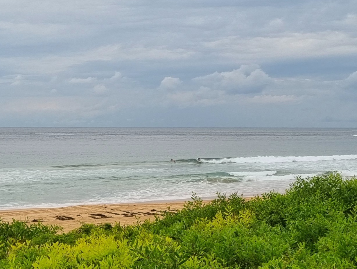
Looks like a good morning for a coffee and work. Only a single bod in the water – and given his SUP he was really more on the water than in it. Conditions in the corner at Dee Why looked junky, weak and small. According to the MHL buoy the windswell is out of the ENE at a about 1.5 metres and barely 7 seconds apart. If you could find a rideable waist high wave, I reckon you’d be doing well. I’m sure there are a few about, but with the tide coming in, you won’t want to leave it too late.
Speaking of late, there’s at least a possibility of a brief window of fun toward dusk. Sometimes when the NE’r blows as hard as it’s forecast to this afternoon (20-30kts) there can be an hour or so of okay conditions in south corners as the wind comes around into the oncoming windswell. Not a huge possibility I admit, but ya never know… it might happen…
Outlook for the next few days isn’t terribly exciting for our region. Swell is set to remain out of the east and for the most part to be small and short period. The weekend, which was looking more promising a day or two ago isn’t looking dire or anything, but the models seem to be showing pretty much only Sunday morning as being of much interest.
Of course we have a small tropical cyclone (Anthony) boiling around off north Queensland, but on current reckoning it’s not expected to do much of anything this far down the coast. Indeed, if it plays out as the forecasts anticipate, it may not sling much into the SE Qld surf zones either.
Have yourself a good one!
Weather Situation
A weak high pressure system over the Tasman Sea extends a ridge to the New South Wales north coast. A low well south of Victoria extends a front northwards. This will bring a southerly change along the southern half of the coast today. The front will weaken on the Mid North Coast on Tuesday. Another front will move along the southern half of the coast on Wednesday,
Forecast for Monday until midnight
Winds: North to northeasterly 15 to 25 knots increasing to 20 to 30 knots during the afternoon ahead of a southerly change 20 to 30 knots during the evening, Seas: 1.5 to 2 metres increasing up to 3 metres during the afternoon then decreasing to 2 metres later in the evening. Swell: Easterly about 1.5 metres.
Forecast for Tuesday
Winds: South to southeasterly 15 to 20 knots decreasing to 10 to 15 knots during the morning then tending east to northeasterly by early evening. Seas: Up to 2 metres decreasing to below 1 metre during the afternoon. Swell: Easterly 1 metre.
Forecast for Wednesday
Winds: North to northeasterly 15 to 20 knots tending southeasterly up to 25 knots during the evening. Seas: 1 to 1.5 metres increasing to 2 metres during the afternoon. Swell: Easterly about 1 metre.
Tides: H @1230, L @1850


