Hello Friends,
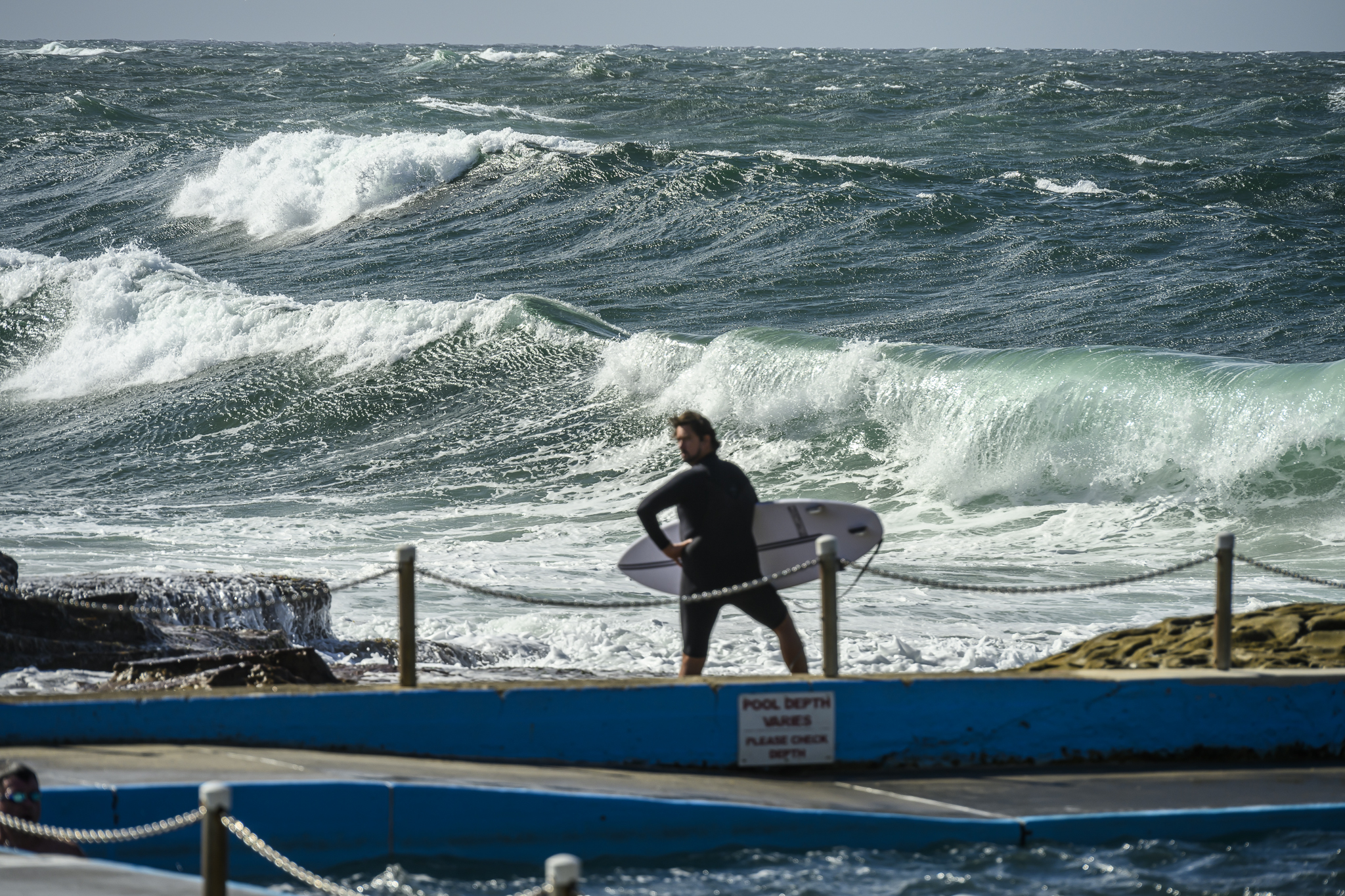
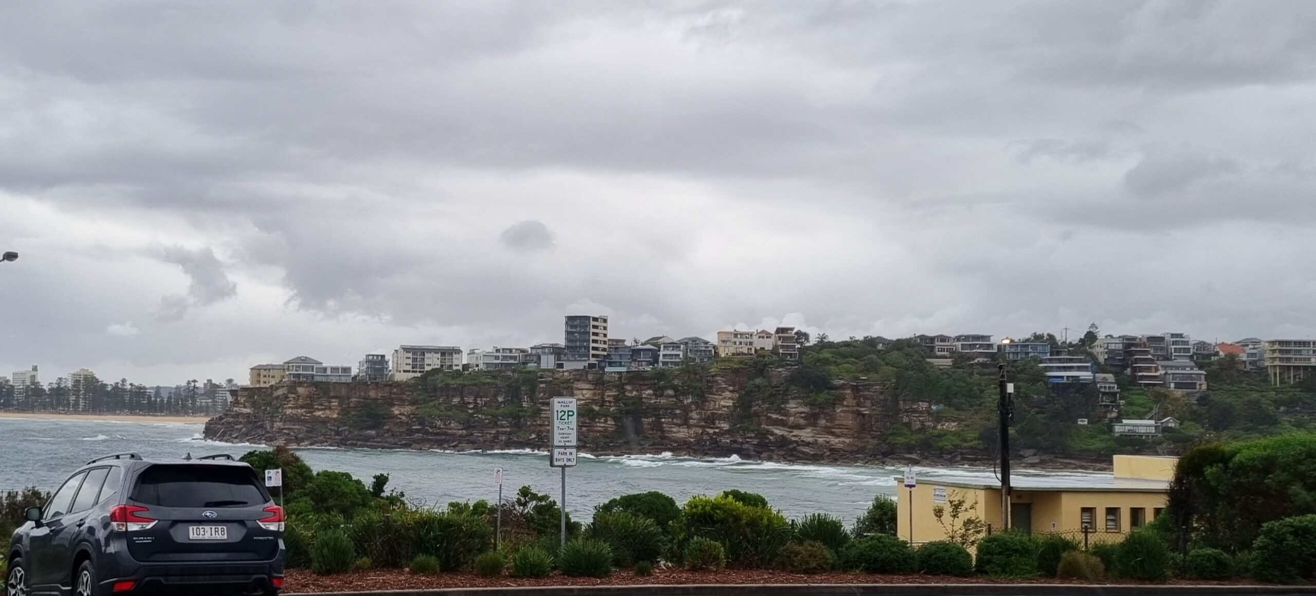
Overnight the main (wind) swell direction has gone from NE to dead south. The size at sea has bumped up a touch to an average of 2 metres but the period has weakened slightly to 7 seconds. Tide’s low at 0945 and will come in only a little to make the high at 1530. This morning saw dribbly, weak but not totally uncatchable little lumps coming into Dee Why. As the picture shows, it was possible to ride something tiny near the rocks at the point, but you wouldn’t be raving about the experience afterwards.
According to the Bureau, this morning’s gloom will burn off to a mostly sunny afternoon and the winds will swing SE. We’re headed into a couple days of southeast conditions and it doesn’t look as though we’ll be getting much of anything in the way of waves as a consequence. I’ll be interested to see what the Goat thinks, but my reading of the latest riffs on the forecast data suggests that the anticipated little weekend pulse might peak on Saturday rather than Sunday morning.
Looking out to the limit of the models’ range, there appears to be a chance of something significant brewing up in the Coral Sea. Whether or not the energy gets down as far as the Sydney region is another thing… La Nina still has a way to run obviously.
Go well with your day!
Weather Situation
A cold front is moving across the southern Tasman Sea bringing a weak southerly change to New South Wales south and central coasts. A high pressure system will move towards Tasmania behind the front on Thursday extending a ridge to the north coast. Stronger southerly winds are expected to develop along the coast during Friday as the ridge strengthens. The high should then remain over the southern Tasman Sea over the weekend.Forecast for Thursday until midnight
Winds: Southwesterly 10 to 20 knots tending south to southeasterly 10 to 15 knots during the afternoon. Seas: Up to 1.5 metres. Swell: Northeasterly 1 metre.Forecast for Friday
Winds: Southerly 15 to 25 knots increasing to 25 to 30 knots during the morning then tending south to southeasterly 20 to 25 knots during the afternoon. Winds becoming southeasterly 15 to 20 knots later in the evening. Seas: Up to 1.5 metres increasing to 3 metres around dawn. Swell: Easterly 1 metre tending southeasterly 1.5 metres late in the evening.Forecast for Saturday
Winds: Southeasterly 10 to 15 knots tending east to northeasterly up to 10 knots during the afternoon. Seas: 1 to 1.5 metres decreasing to below 1 metre during the afternoon. Swell: Southerly 1.5 metres.


