Hello Friends,
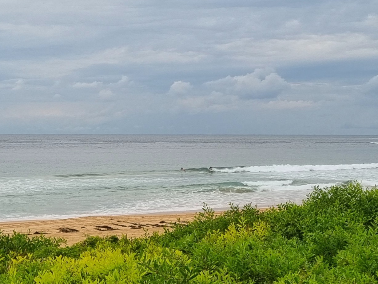
That big old high over the Tasman just doesn’t want to go anywhere and it’s not helping the surf situation at all. While the size of the NE swell at sea is still around the 1.5 metre mark, the average period is a weak 7 seconds. Admittedly Dee Why isn’t the ideal indicator for NE windswell, so there may be slightly more energy at NE magnets, but I reckon it’ll be struggling to make waist high for the most part. Certainly there wasn’t anything above that level when I checked at about 0900. Huey’s expected to dial the wind up to 15-20 kts later this afternoon, so that might bump the energy levels up a touch.
A S-SW change is expected tomorrow and as a consequence we may see a small improvement to the surf prospects. But I’m not seeing anything dramatic on this run of the models for tomorrow. They are showing a big system forming in the southern ocean in about five days. The forecasts show the main energy staying largely clear of the east coast, but by the weekend the situation could possibly change and we might have some smallish but long period swell pushing in by Sunday.
Have a good one!
TIDES: L @0930, H @1520
Weather Situation
A semi-stationary high pressure system over the Tasman Sea extends a ridge to the New South Wales far north coast. A cold front will bring a southerly change to the south and central coasts during Monday.
Forecast for Sunday until midnight
Winds: Northerly 10 to 20 knots tending north to northeasterly 10 to 15 knots during the morning then increasing to 15 to 20 knots by early evening. Seas: Below 1 metre increasing up to 1.5 metres during the morning. Swell: Easterly 1 metre. Isolated thunderstorms this afternoon and evening.
Forecast for Monday
Winds: Northerly 10 to 20 knots tending north to northwesterly up to 10 knots around dawn then tending northwest to southwesterly up to 20 knots during the morning. Winds tending south to southwesterly up to 25 knots around midday. Seas: Up to 1.5 metres increasing to 1.5 to 2 metres during the afternoon. Swell: Easterly about 1.5 metres.
Forecast for Tuesday
Winds: South to southeasterly 10 to 20 knots becoming southerly 10 to 15 knots during the afternoon then decreasing to 10 knots during the evening. Seas: Up to 1.5 metres. Swell: Easterly 1 metre. Isolated thunderstorms offshore from the morning.


