Hello Friends,
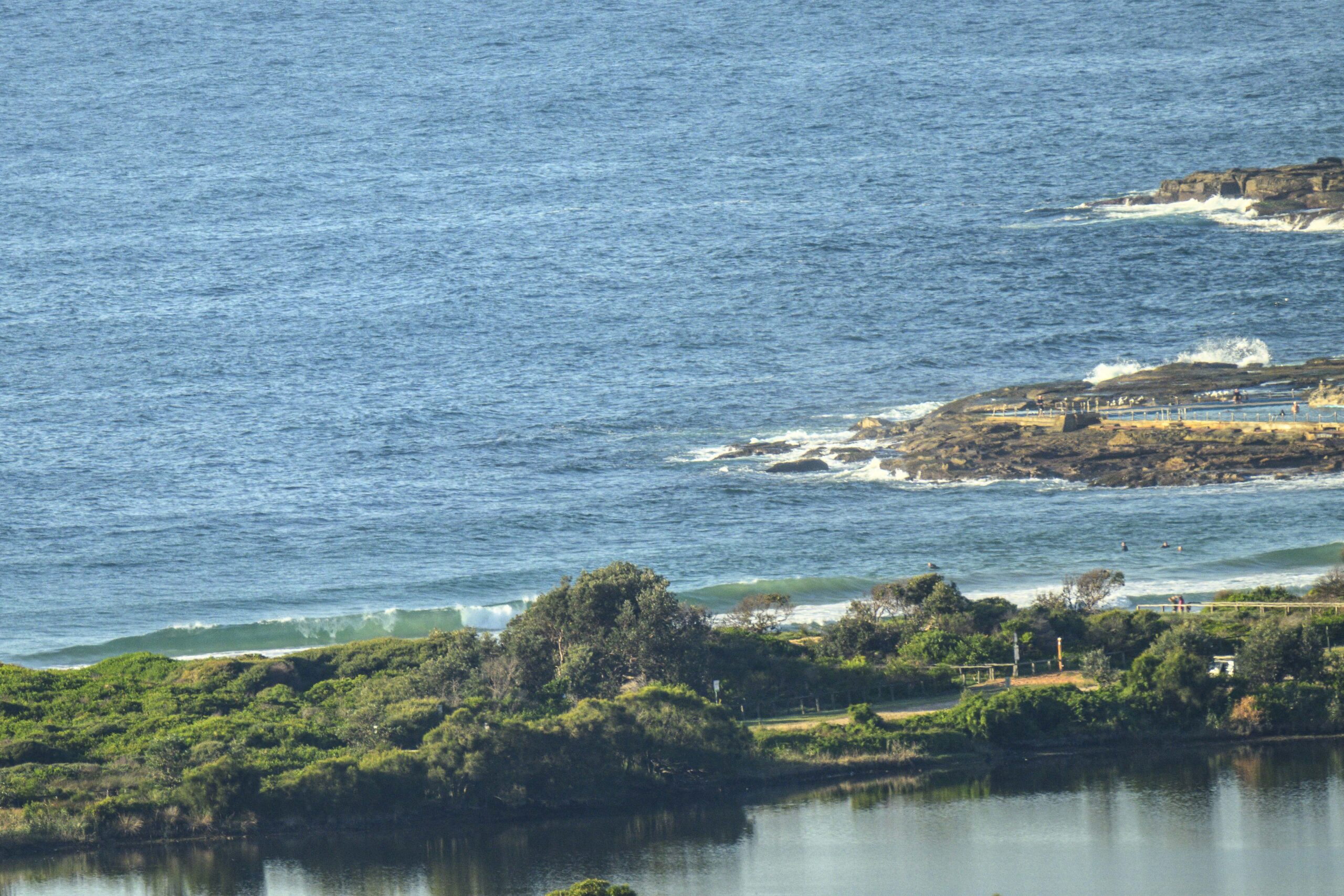
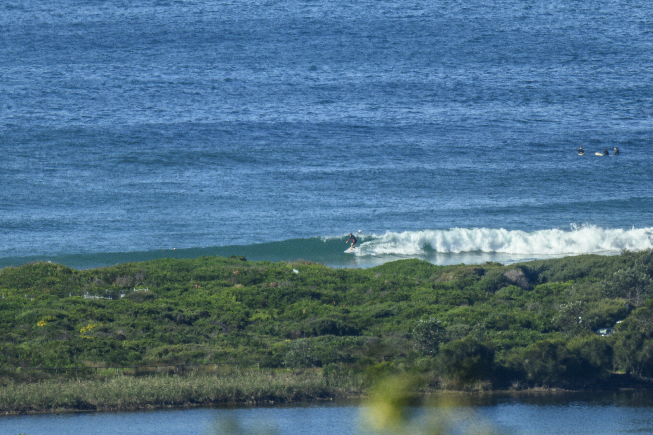
It was calm as Monday got started, but the Bureau says the wind will be out of the south to SE around noon as a south change comes through. By this evening the call is for 20-25 of south to SE wind. Early risers were greeted with weak and small easterly conditions. No one was in the water at the Dee Why end of the beach when I grabbed a snap at 0800.
Once the wind arrives, there should be some south windswell with it, but the quality is going to be ordinary at exposed places where it’s biggest, and given the short period of the windswell, I wouldn’t expect to find much of anything in the protected south corners.
So the plan is to take your most optimistic attitude, your floatiest surfing tool and get out the door asap this morning.
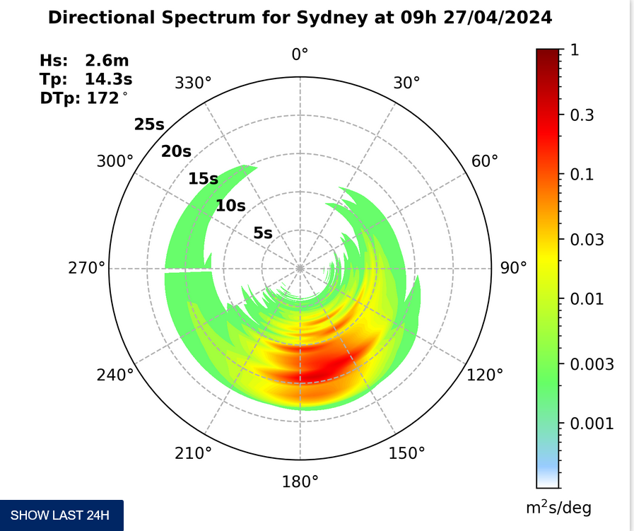
From the shape of this morning’s run of the swell forecast models, it looks as though the week ahead will be generally small and weak. Out at the limits of the models, the forecast is currently showing quite a large and intense system swinging around from the southern ocean into the Tasman at the weekend. It looks like it could be a big one too. These forecasts generally turn out to be rather optimistic (from a surf perspective!), so I’d just be penciling in the south swell spots for Saturday at this stage. BTW, if it turns out to be as intense as currently forecast, our friends on the other side of the pond in Mexico and southern California could be looking at some tasty southern hemi swell…
Roll on with your day and may it all go well!
TIDES: L @1045, H @1640
Weather Situation
A cold front is moving across the southern Tasman Sea. In the wake of the front a high pressure system is moving towards Tasmania extending a ridge to New South Wales south and central coasts. Another southerly change is expected to develop along the coast during Wednesday.
Forecast for Monday until midnight
Winds: Northerly 10 to 15 knots tending south to southwesterly up to 30 knots during the morning then tending southerly around midday. Winds tending south to southeasterly 20 to 25 knots by early evening. Seas: Up to 1.5 metres increasing up to 2 metres around midday then increasing to 2 to 3 metres during the afternoon. Swell: Easterly 1.5 metres becoming about 1.5 metres from the late morning. Isolated thunderstorms in the late morning and afternoon.Forecast for Tuesday
Winds: South to southeasterly 15 to 20 knots tending east to southeasterly up to 15 knots around midday then tending north to northeasterly up to 10 knots during the afternoon. Seas: Up to 2 metres decreasing to below 1 metre during the afternoon. Swell: Easterly about 1.5 metres tending southeasterly from midday.Forecast for Wednesday
Winds: Northerly 5 to 15 knots tending north to northwesterly up to 10 knots during the morning then tending south to southwesterly up to 20 knots during the afternoon. Seas: Below 1 metre increasing to 1.5 to 2 metres during the evening. Swell: Southeasterly 1 metre. Isolated thunderstorms from the morning.
T


