Hello Friends,
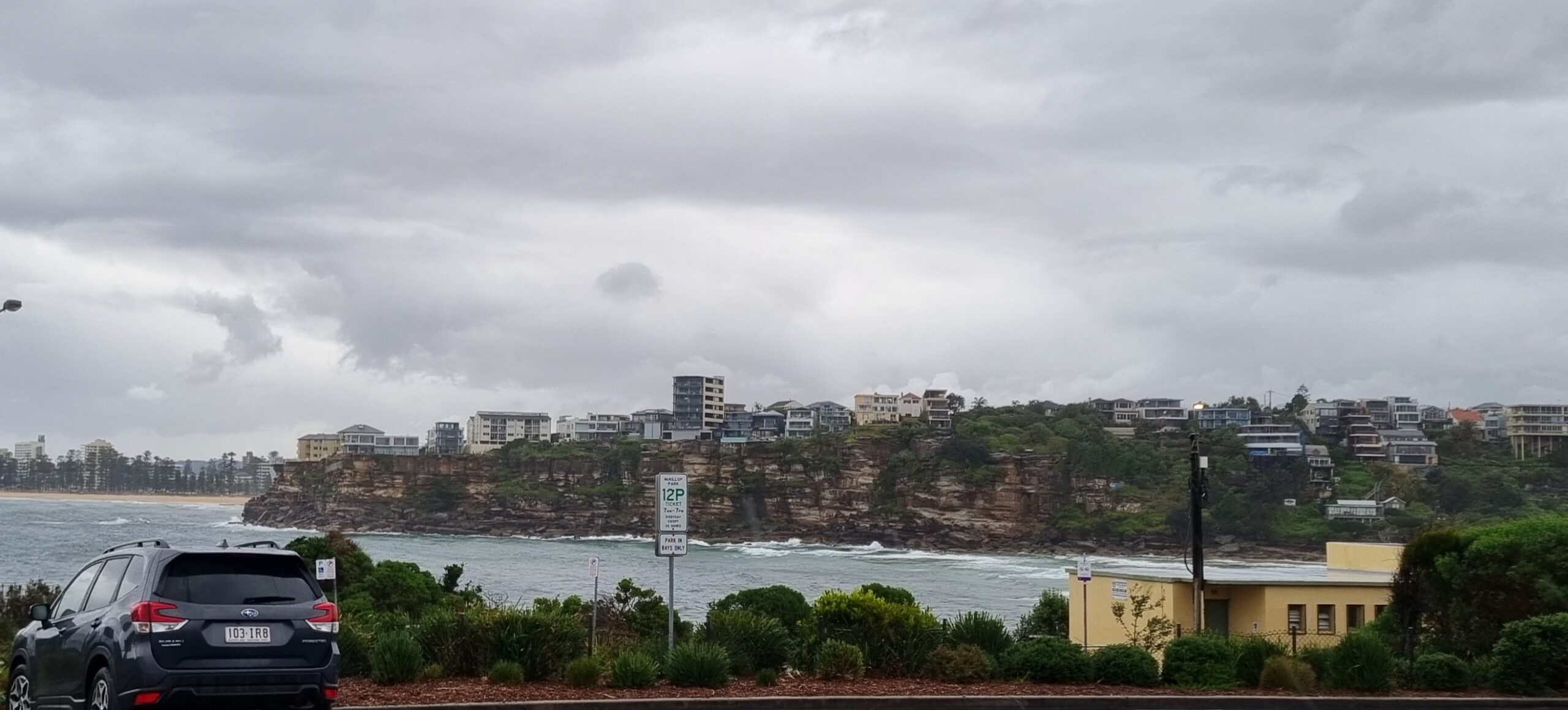
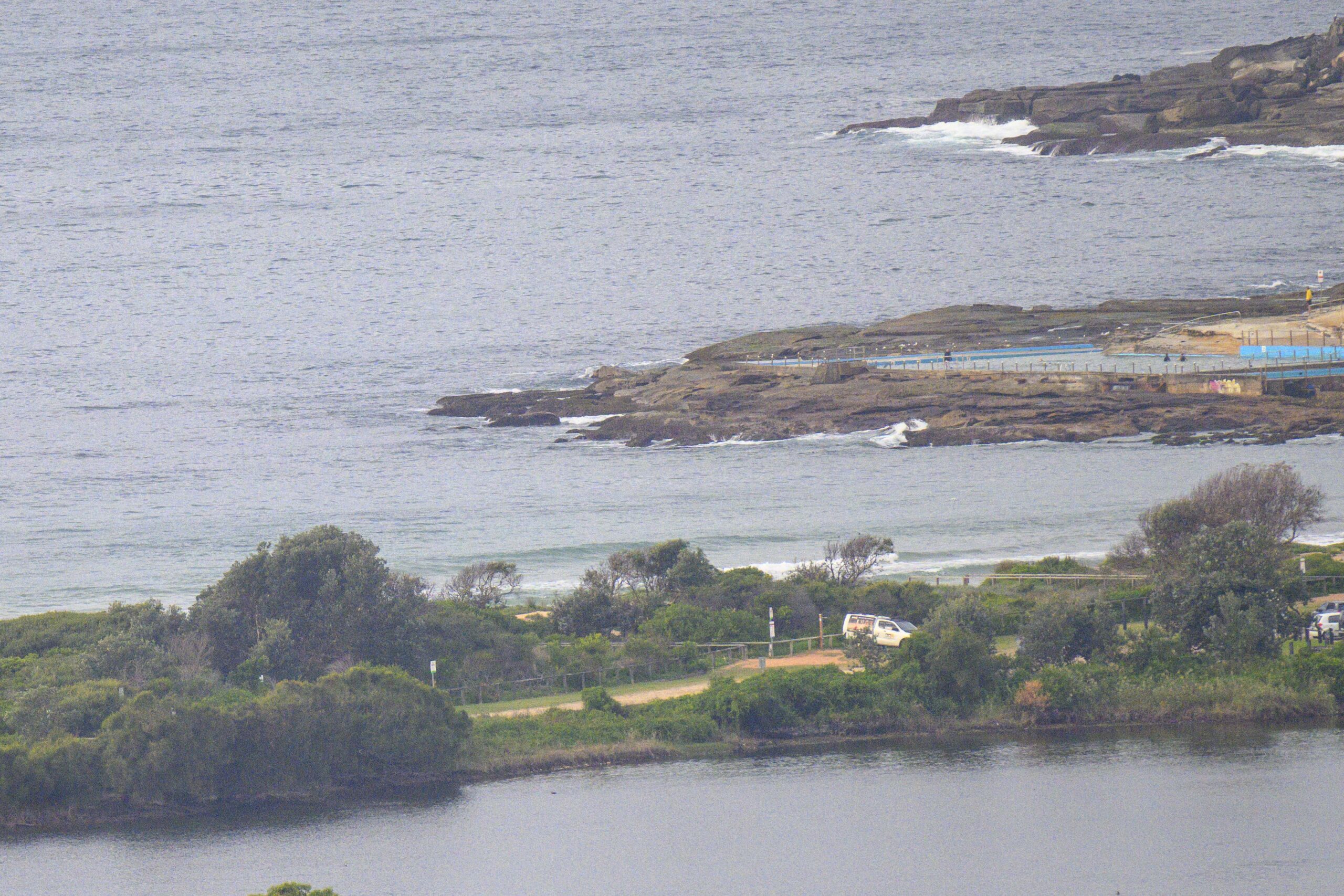
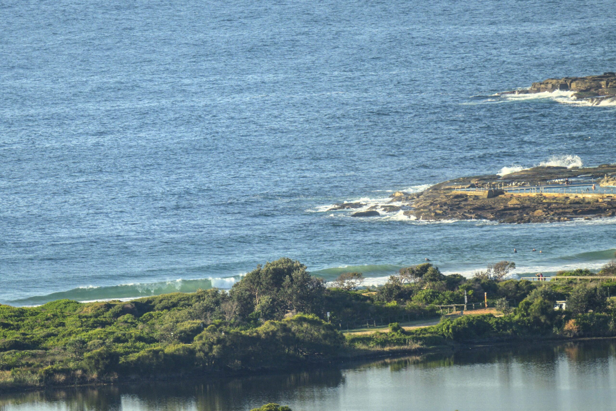
Sunny morning in Sydney once again, but quite a bit cooler than yesterday. A harbinger of mornings to come as autumn gears up. Energy levels are still at a low ebb on the surf front though. We’re almost at the midway point of April and we’re still not seeing things fire up along the east coast. It’s just barely breaking at Dee Why this morning because the swell’s only about a metre from the south, but worse, the period is bumbling along at a gutless 7 seconds. There was one person in the water when I took this morning’s snap and he didn’t seem to be having much luck with the knee high shutdowns at Dee Why centre. Unsurprisingly it looked as though he’d pulled on the steamer as well – despite the water still being okay for boardies.
This morning’s riffs on the WAM data are showing the same variability as yesterday. The pessimistic interpretations reckon we won’t get much above the current levels for the next week, while the more hopeful calls are saying it’ll be flat until the weekend when we could get some stormy south swell. I’m hoping that the forecast increase in period from around tomorrow, will lead to a couple days of at least waist to chest high options at south facing beaches across the middle part of the week.
As always, we shall see what we shall see!
Have yourself a great Monday.
ps: I still have some raffle tickets for the Surfrider fundraiser Simon Anderson thruster replica (shaped by the man himself). You’ll need to act fast though because I’ve got to turn the stubs in today. The plan will be to pay me via paypal and then to send me a self-addressed stamped envelope so I can zap the tix back to you. Please use the feedback link to get in touch. This replica is of the ground breaking first thruster Simon used to win the ’81 Bells contest. Tickets are $5 for one or $10 for three.
TIDES: L @0800, H @1400

Weather Situation
A cold front crossed the southern and central NSW coast yesterday and will move slowly along the north coast today and weaken. A complex surface low will lie over southern NSW, Victoria and Bass Strait today, then move slowly to the southeast over the next few days as a weak high pressure ridge develops over northern and central parts of the state.
Forecast for Monday until midnight
Winds: West to northwesterly 10 to 15 knots, tending northwest to northeasterly to 10 knots in the afternoon, then tending northwesterly at about 15 knots in the evening. Seas: Below 1 metre. Swell: Northeasterly 1 metre. The chance of thunderstorms offshore this morning.
Forecast for Tuesday
Winds: West to northwesterly 15 to 20 knots becoming westerly 20 to 25 knots by early evening then tending west to northwesterly 15 to 20 knots later in the evening. Seas: 1 to 1.5 metres increasing to 2 metres by early evening. Swell: Easterly 1 metre tending southerly about 1.5 metres from midday.
Forecast for Wednesday
Winds: Westerly 10 to 20 knots tending west to northwesterly 10 to 15 knots during the afternoon then becoming westerly 15 to 20 knots during the evening. Seas: Up to 1.5 metres. Swell: Southeasterly 1 metre.


