Hello Friends,
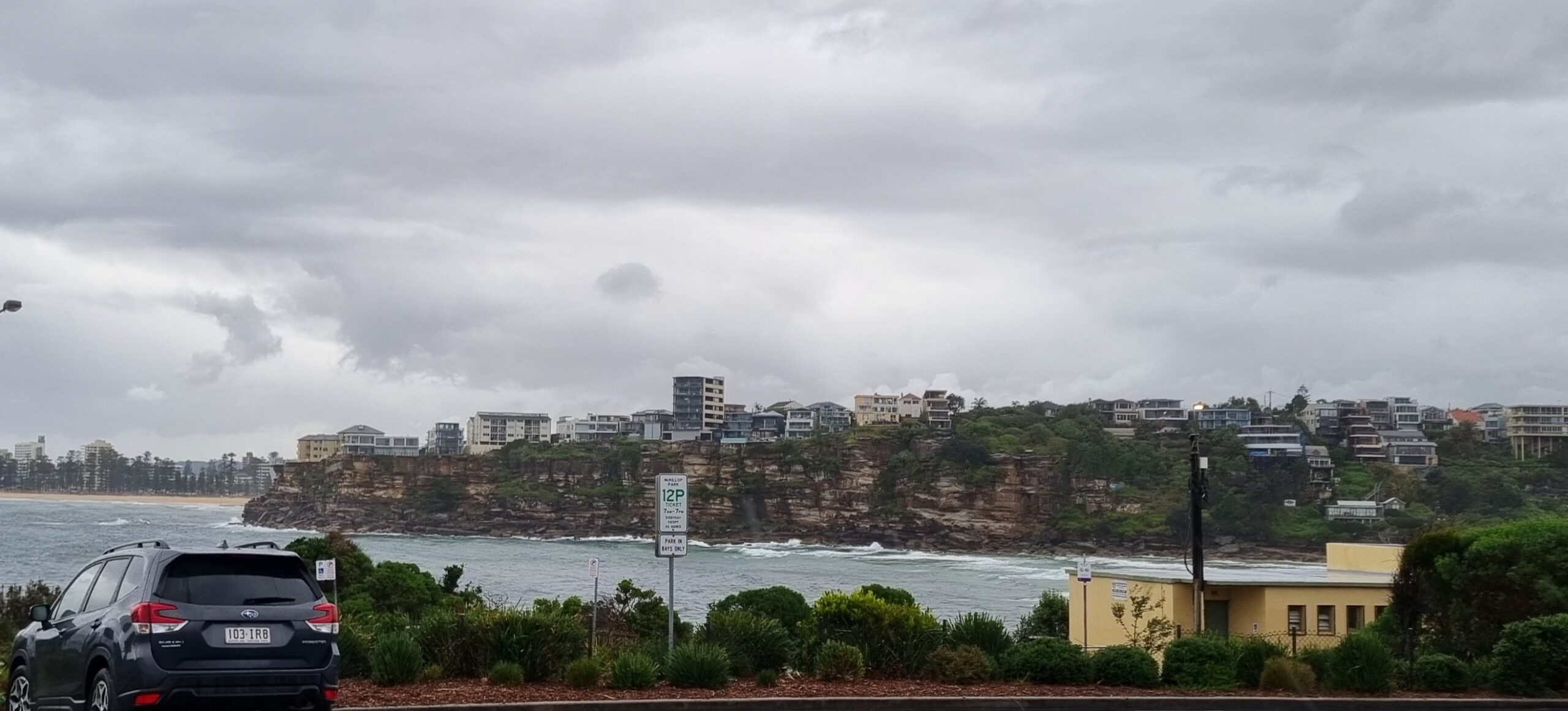
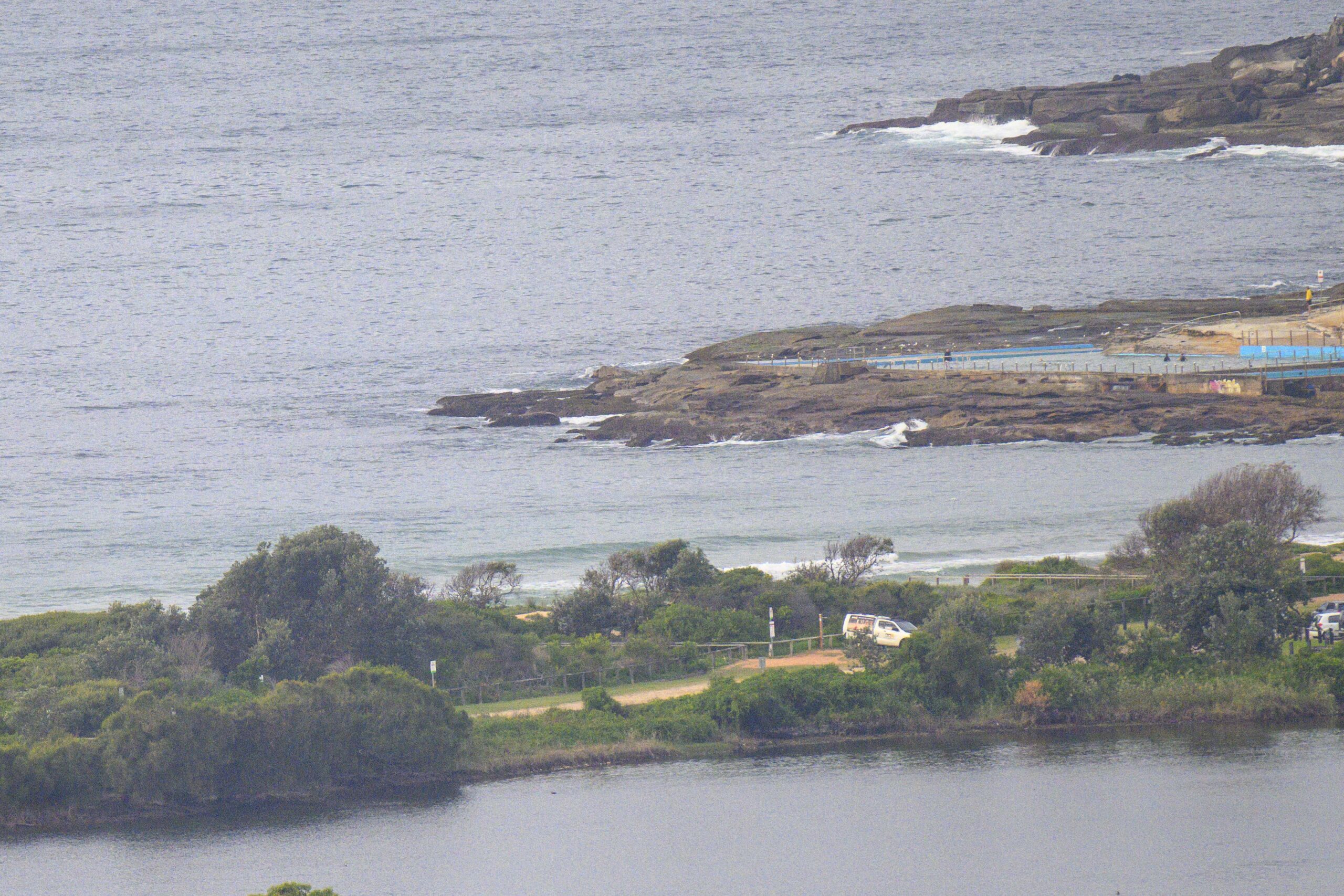
From the weather forecast last night, I thought it might be cloudy and showery by this morning. But no, it’s really quite nice looking down at Dee Why as a couple metres of south swell at 9 seconds delivers the odd shoulder-head high set. Seemed to be a bit of a wait for them, but it wasn’t too bad. The wind was out of the west to SW around the beaches of Sydney, so I’d say south swell spots ought to be going along pretty nicely. Tide is dropping too and water temperature has climbed to 23 degrees (well, out at the MHL buoy off Sydney anyway).
I’d be getting into it if I could as tomorrow looks as though it might be wind affected thanks to 15-25 kts of s to se’ly.
Will try to check back later today if the schedule permits. Go well!
TIDES: L @1145, H @1800

Weather Situation
A slow moving high pressure ridge southwest of Tasmania and a low moving east across the southern Tasman Sea will combine to direct south to southeast winds along the New South Wales coast into the weekend. As a high shifts slowly east into the Tasman Sea on Sunday and Monday, winds will turn north to northwesterly in the south early next week.
Forecast for Friday until midnight
Winds: South to southwesterly 15 to 20 knots. Seas: 1.5 to 2 metres. Swell: Southeasterly 1.5 metres. The chance of thunderstorms this afternoon and evening.
Forecast for Saturday
Winds: South to southeasterly 15 to 25 knots increasing to 20 to 30 knots by early evening. Seas: 1.5 to 2 metres increasing to 3 metres by early evening. Swell: Southeasterly about 2 metres. The chance of thunderstorms, mainly offshore.
Forecast for Sunday
Winds: South to southeasterly 15 to 25 knots easing to 10 to 15 knots during the afternoon. Seas: 1.5 to 2 metres decreasing to below 1 metre during the afternoon. Swell: Southeasterly 2 to 3 metres easing to 1.5 metres in the evening.


