Hello Friends,
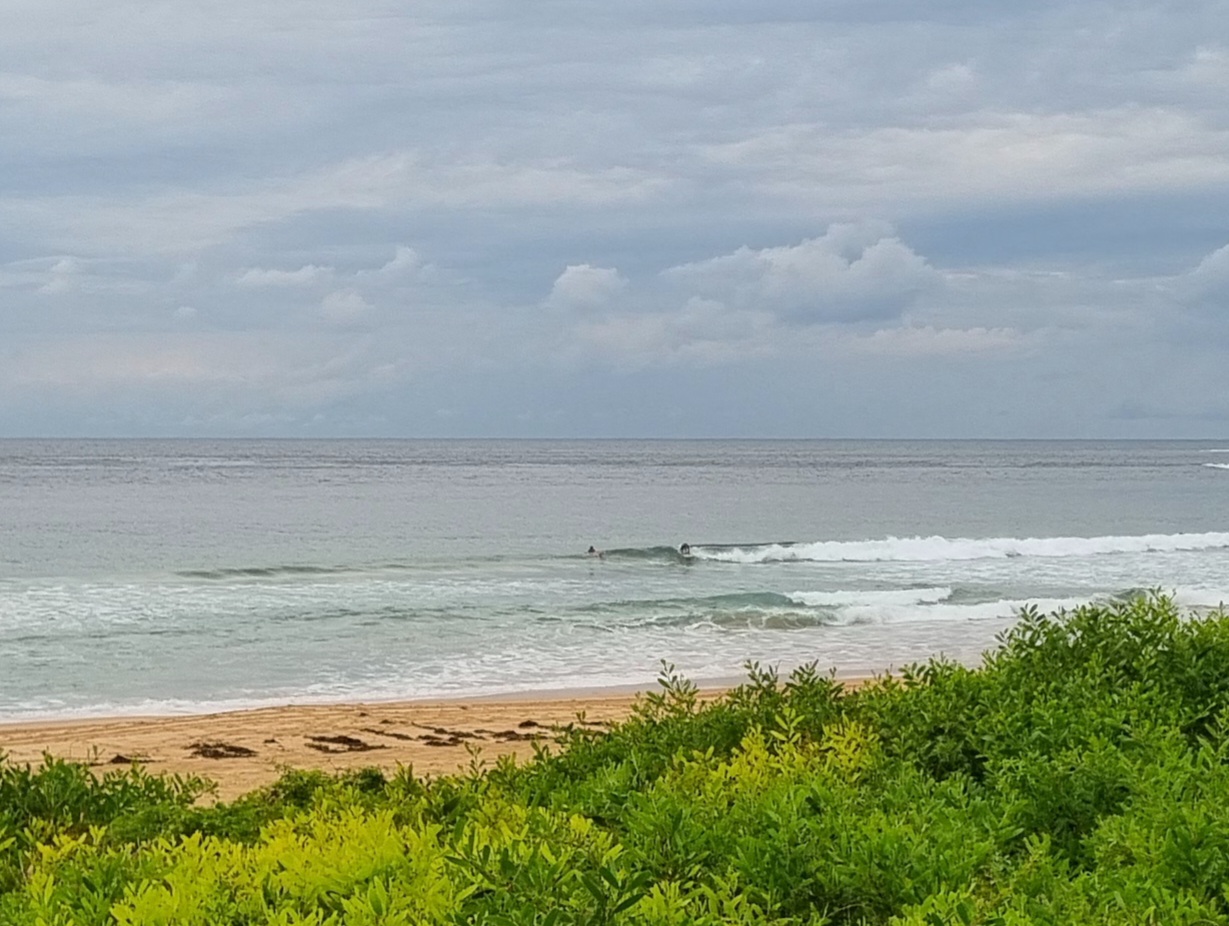
High tide at about 0900 and swell is out of the east at about a metre. Period’s close to 9 seconds, so there are chest high sets showing in the beachbreak of Dee Why. There should be a fair number of places lighting up with this particular combo. Wind is light for the early, but is set to swing from the NE to SE. Water temp offshore is about 23 degrees too. Felt nice when I went for a dip at the point yesterday, so it should be good again today.
Fair number of bods in the water at Dee Why, but it’s not looking crazy or anything. From looking around yesterday, that seemed to be the pattern, ie, fair numbers in the water, but not exceptionally busy.
You’ll want to make an effort today though, because the models are all showing the waves disappearing pretty much over the next few days.
I’ll be sending postcards from across the pond over the next two weeks as I’m off to celebrate my dear old Dad’s 90th.
Have yourself a good one!

Weather Situation
A high pressure system over the southwestern Tasman Sea is slowly moving east. A cold front is expected to bring a weak southerly change to the New South Wales south and central coasts today before winds return to the northeast, ahead of another weak change on the south coast on Wednesday.Forecast for Tuesday until midnight
Winds: North to northeasterly 10 to 15 knots tending southeast to northeast during the afternoon. Seas: Up to 1.5 metres. Swell: Southerly 1 metre.Forecast for Wednesday
Winds: Northwest to northeasterly 10 to 15 knots. Seas: Below 1 metre. Swell: Southeasterly about 1 metre. Isolated thunderstorms offshore during the evening.Forecast for Thursday
Winds: West to northwesterly 5 to 10 knots tending north to northwesterly during the afternoon then increasing to 10 to 15 knots during the evening. Seas: Below 1 metre. Swell: Southerly 0.5 metres.

