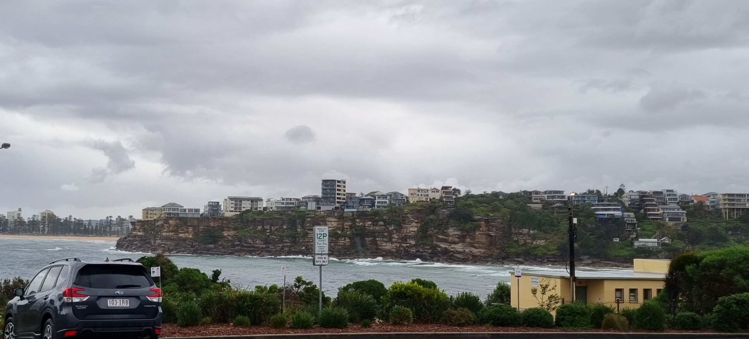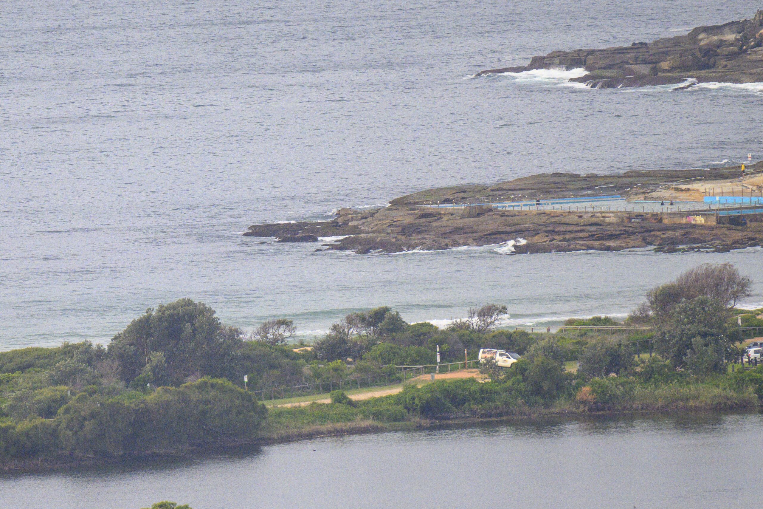
Hello Friends,
No sign of the forecast big swell as of 0700 this morning. But the Bureau and all the models agree that we should have up to 4 metres of south swell this afternoon. Unfortunately the wind call is for SW’ly at 25-35 kts, so I don’t know how many places will be holding the swell while still being surfable. The models are showing average periods of around 8-9 seconds, so it may not refract into the most protected corners with much size.
As of 0700, the MHL buoys for the Eden to Sydney region are showing average swell heights of about a metre in the south to near 2 metres off our shores. But periods are only in the 6 second range in the south, while we’re seeing 9 seconds locally.
So, no real sign of giant swell yet…
It looks as though tomorrow will be the day for experienced surfers. The swell looks likely to peak overnight but still be solidly overhead and the ferocious winds of Saturday should have moderated. I’m planning to be at south Curly with the Surfrider crew for a couple hours of beach cleaning starting about 0830. By the time we finish it should be just about the right size for me!
Speaking of Curly, I managed to get a few snaps there yesterday around noon, so expect a fresh gallery shortly.
Go well with Saturday and yes, I plan to update later!
Tides: L @1110, H @1740
Weather Situation
A low is moving across the Tasman Sea and a strong high pressure system is southwest of the Bight. A cold front is expected to affect New South Wales Saturday with a vigorous southwesterly airstream. The high should move into the southwest of the state on Sunday in the wake of the front, moderating the southwesterly airstream. The high is expected to remain over southeastern Australia well into next week with generally light to moderate southwest to southeasterly winds along the coast.Forecast for Saturday until midnight
Winds: Southwesterly 25 to 30 knots increasing to 25 to 35 knots during the afternoon then decreasing to 20 to 30 knots later in the evening. Seas: 2 to 3 metres increasing to 4 metres during the afternoon then decreasing to 3 metres later in the evening. Swell: Southerly 2 to 3 metres increasing to 4 metres in the afternoon. Large swells breaking dangerously close inshore in the afternoon and evening.Forecast for Sunday
Winds: Southwesterly 20 to 30 knots decreasing to 15 to 20 knots during the morning then tending west to southwesterly up to 15 knots during the afternoon. Winds decreasing to west to southwesterly up to 10 knots by early evening. Seas: Up to 3 metres decreasing below 1.5 metres during the morning then decreasing to below 1 metre by early evening. Swell: Southerly 3 to 4 metres. Large swells breaking dangerously close inshore.Forecast for Monday
Winds: West to northwesterly 5 to 10 knots becoming westerly up to 15 knots during the evening. Seas: Below 1 metre. Swell: Southerly 2 to 3 metres.


