Hello Friends,
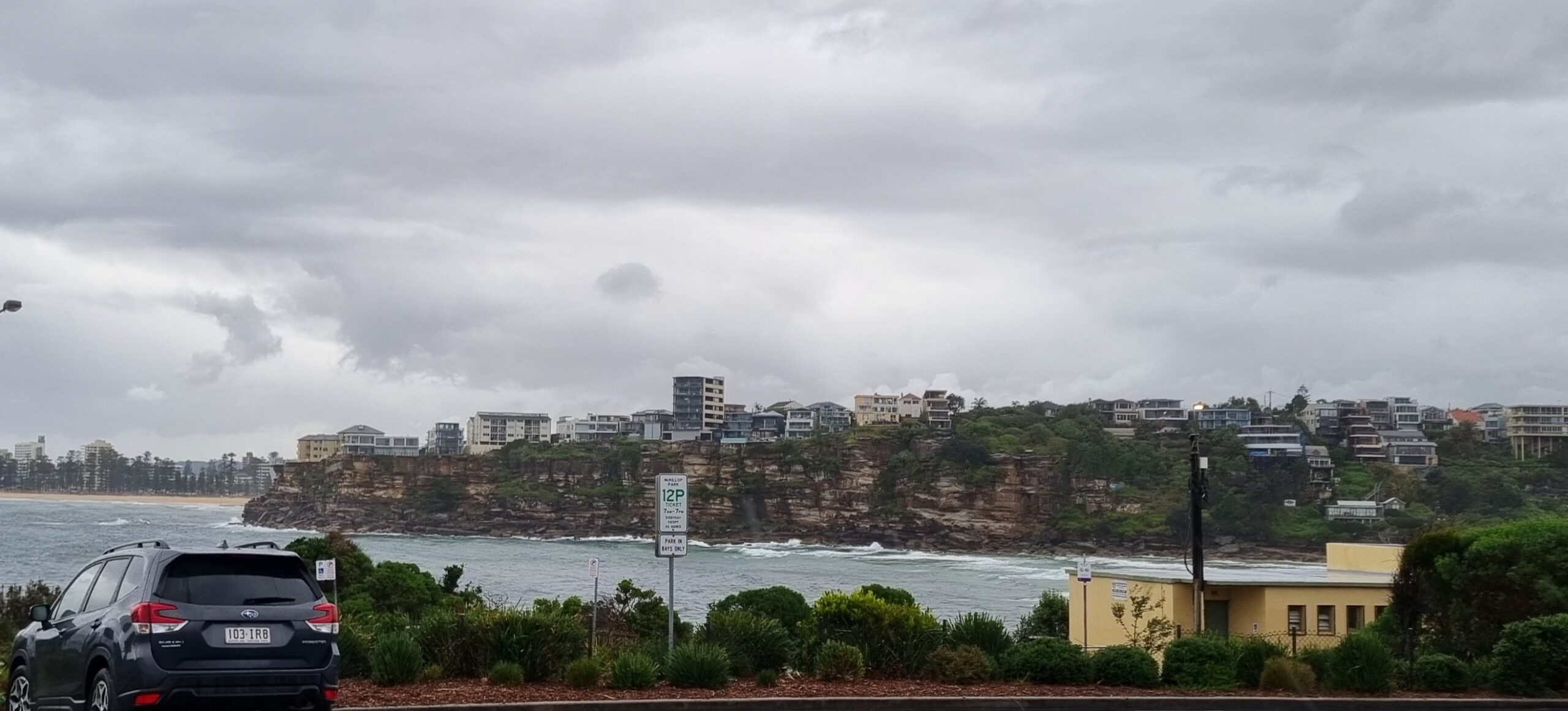
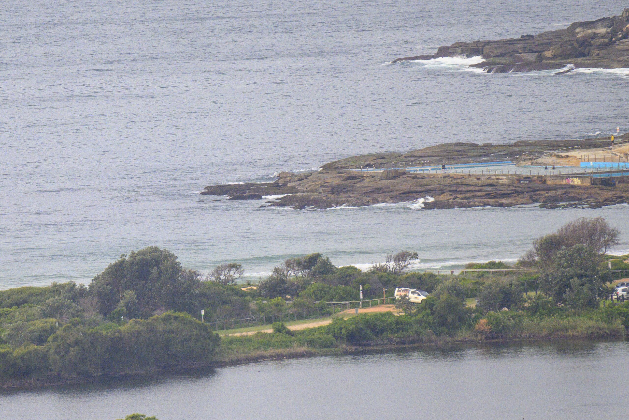
Cold and grey this morning along the beaches. But early on the wind was out of the SSW at 15-20kts and it was pretty clean as a consequence at Dee Why. Sets were into the shoulder to head high range too. The MHL buoy went offline yesterday shortly after the swell peaked, so I don’t have objective numbers, but based on observation and the other buoy data, I’d say the average swell height is somewhere between 2 and 3 metres at sea with an average period of around 8-9 seconds from the south.
I’ll try to add a few remarks on the outlook later today… go well.
Weather Situation
A complex low over the Tasman Sea is expected to continue moving towards New Zealand with winds gradually easing along New South wales coast. A high south of the Bight will move very slowly eastwards over the next few days with a moderating southwest to southerly airstream over NSW. Over the weekend the high should be centred near Bass Strait with winds tending southeasterly over the state. A trough of low pressure is expected to develop off the coast on Sunday.Forecast for Thursday until midnight
Winds: Southerly 20 to 30 knots decreasing to 20 to 25 knots around midday then tending south to southwesterly 15 to 20 knots by early evening. Seas: Up to 3 metres decreasing to 1.5 metres later in the evening. Swell: Southerly 2 metres.Forecast for Friday
Winds: South to southwesterly 10 to 20 knots decreasing to 10 to 15 knots by early evening. Seas: Up to 1.5 metres. Swell: Southerly about 2 metres decreasing to 1 metre during the evening.Forecast for Saturday
Winds: South to southwesterly 10 to 15 knots tending southeasterly during the evening. Seas: Below 1 metre increasing to 1 to 1.5 metres during the morning. Swell: Southerly about 1.5 metres.


