Hello Friends,
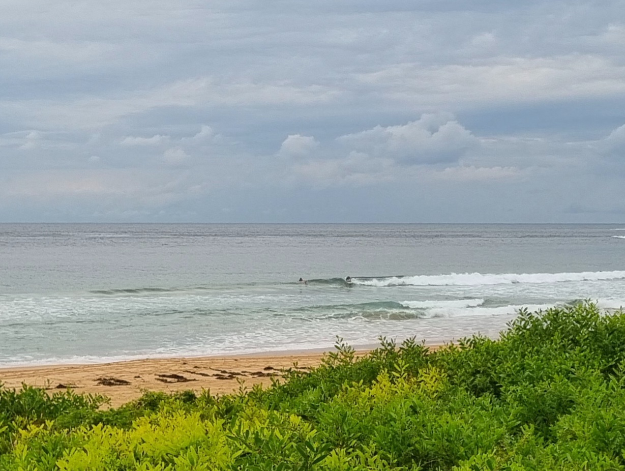
Lookin’ pretty small, but not utterly and absolutely flat at Dee Why beach as the Wednesday opened. The morning light had a funny slightly dusty look to it too. Sets at the few functioning low tide peaks were hitting the waist high mark. A cold and stiff westerly was encouraging the keeping of hands in pockets and hoods up. But a clutch of hardy types were not deterred at Dee Why.
The wind is supposed to back off gradually today and the swell is supposed to maintain at around the current weak level for another day. That said, some interpretations of the models are showing a small uptick in energy levels for late Thursday and Friday. We aren’t talking anything too dramatic but there might be the odd shoulder high set at spots with good exposure to the south. But thereafter… well, you probably don’t want to hear about what those models say…
Have yourself a great Wednesday one and all!

TIDES: L @0650, H @1310
Weather Situation
A vigorous westerly airstream following the passage of a strong cold front on Tuesday. Winds are expected ease gradually during Wednesday as the front moves towards New Zealand and a high pressure system over Western Australia extends a ridge to the northern Tasman Sea.
Forecast for Wednesday until midnight
Winds
Westerly 20 to 30 knots decreasing to 20 to 25 knots during the afternoon then decreasing to 15 to 20 knots by early evening.
Seas
Up to 3 metres decreasing to 2 metres during the afternoon.
Swell
Southerly about 1 metre.
Thursday 23 June
Winds
West to southwesterly 15 to 20 knots.
Seas
1 to 1.5 metres.
Swell
Southerly about 1 metre.
Friday 24 June
Winds
West to southwesterly 15 to 20 knots decreasing to 10 to 15 knots during the morning.
Seas
Up to 1.5 metres decreasing to below 1 metre during the evening.
Swell
Southerly 1 metre.

