Hello Friends,
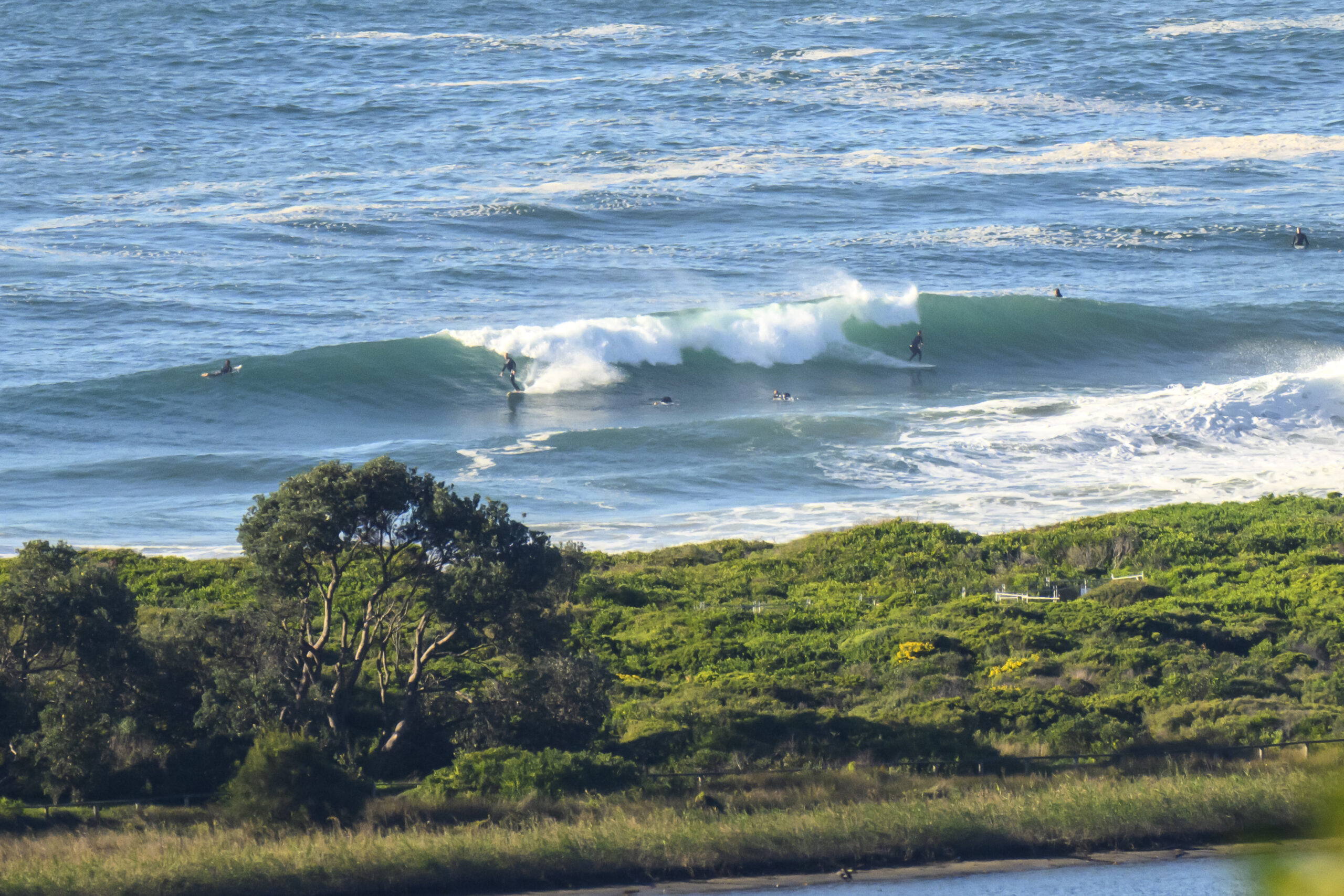
As foretold by the swell models, there is a tiny uptick into the just barely surfable range at Dee Why beach (forget the point). Swell is out of the south and is showing at 1.5 metres out at sea. The period is a useful 10 seconds, so places with good south exposure could be into the chest high range on sets. Dee Why was struggling to get much above the waist high mark while I watched it, but I guess there could be sets a bit bigger than that. The outlook is for the swell to weaken through the day and for us to be back to flat tomorrow.
Wind and weather should be just about perfect today. The breeze is due to stay out of the west to NW and the skies should be sunny all day long. Tide is low at 0820 and high just a bit before 1500.
If you can get in for a splash, do so because the models are looking very grim for the next 7-10 days. Huey can always change that on us, so here’s hoping the supercomputers running the numbers are overly pessimistic.
Have yourself a great day!
Weather Situation
A high over NSW is expected to remain centred over the state until about Tuesday, when it will start to move over the Tasman Sea.
Forecast for Friday until midnight
Winds
West to northwesterly 5 to 10 knots.
Seas
Below 1 metre.
Swell
Southerly 1 metre.
Saturday 25 June
Winds
Southeast to southwesterly 5 to 10 knots becoming light around midday then tending northerly up to 10 knots by early evening.
Seas
Below 1 metre.
Swell
Southerly 0.5 metres.
Sunday 26 June
Winds
North to northwesterly 10 to 15 knots tending west to southwesterly during the afternoon.
Seas
Below 1 metre.
Swell
Southerly 0.5 metres.

