Hello Friends,
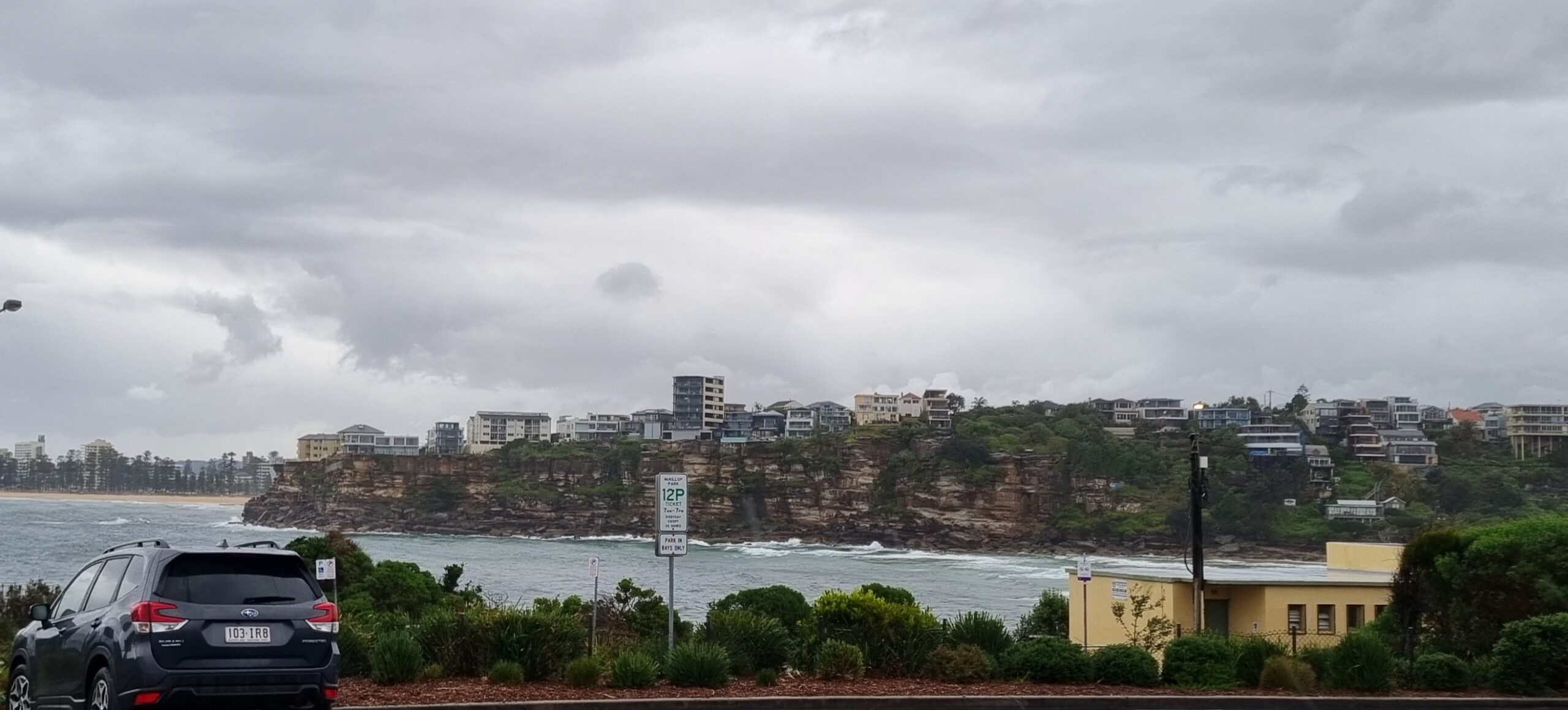
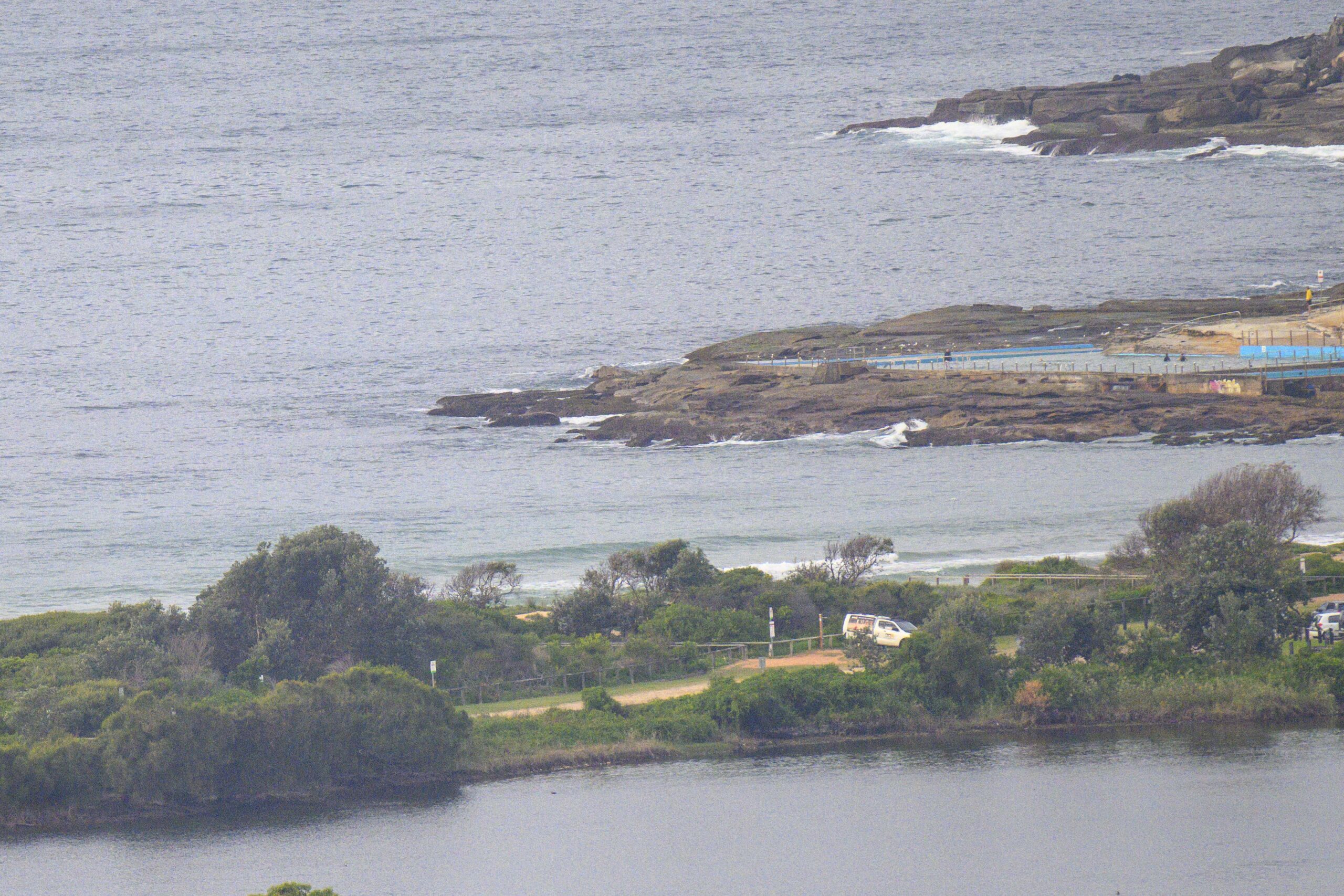
Swell’s on the fade in Sydney. However, as of late this morning, the wind was mostly offshore, swell was out of the SE at an average height of 3 metres with an average period of about 11 seconds. Those are nice numbers in my experience, so get out and enjoy!
Next tide is a high at around 1450.
Marine forecast from the Australian Bureau of Meteorology
Weather Situation
A weakening high pressure system south of Tasmania extends a ridge to western New South Wales, while a complex low pressure system lies over the northeastern Tasman Sea. The low is moving slowly to the east and is expected to be east of New Zealand by later Sunday, resulting in winds gradually easing along the NSW coast. During this time the ridge will become broader across southeast Australia, establishing itself as the dominant synoptic feature over the following days. A weak trough is forecast to move across the coast early next week.
Forecast for Sunday until midnight
Winds
South to southwesterly 15 to 20 knots decreasing to 10 to 15 knots during the morning then decreasing to 10 knots by early evening.
Seas
Up to 1.5 metres.
Swell
Southeasterly 2 to 3 metres.
Weather
Large swells breaking dangerously close inshore.
Monday 25 July
Winds
Light winds tending northeast to northwesterly up to 10 knots around dawn then becoming northwesterly 10 to 15 knots during the afternoon.
Seas
Below 1 metre.
Swell
Southeasterly about 2 metres.
Tuesday 26 July
Winds
Westerly 15 to 20 knots.
Seas
Up to 1.5 metres.
Swell
Southeasterly 1.5 metres.


