Hello Friends,
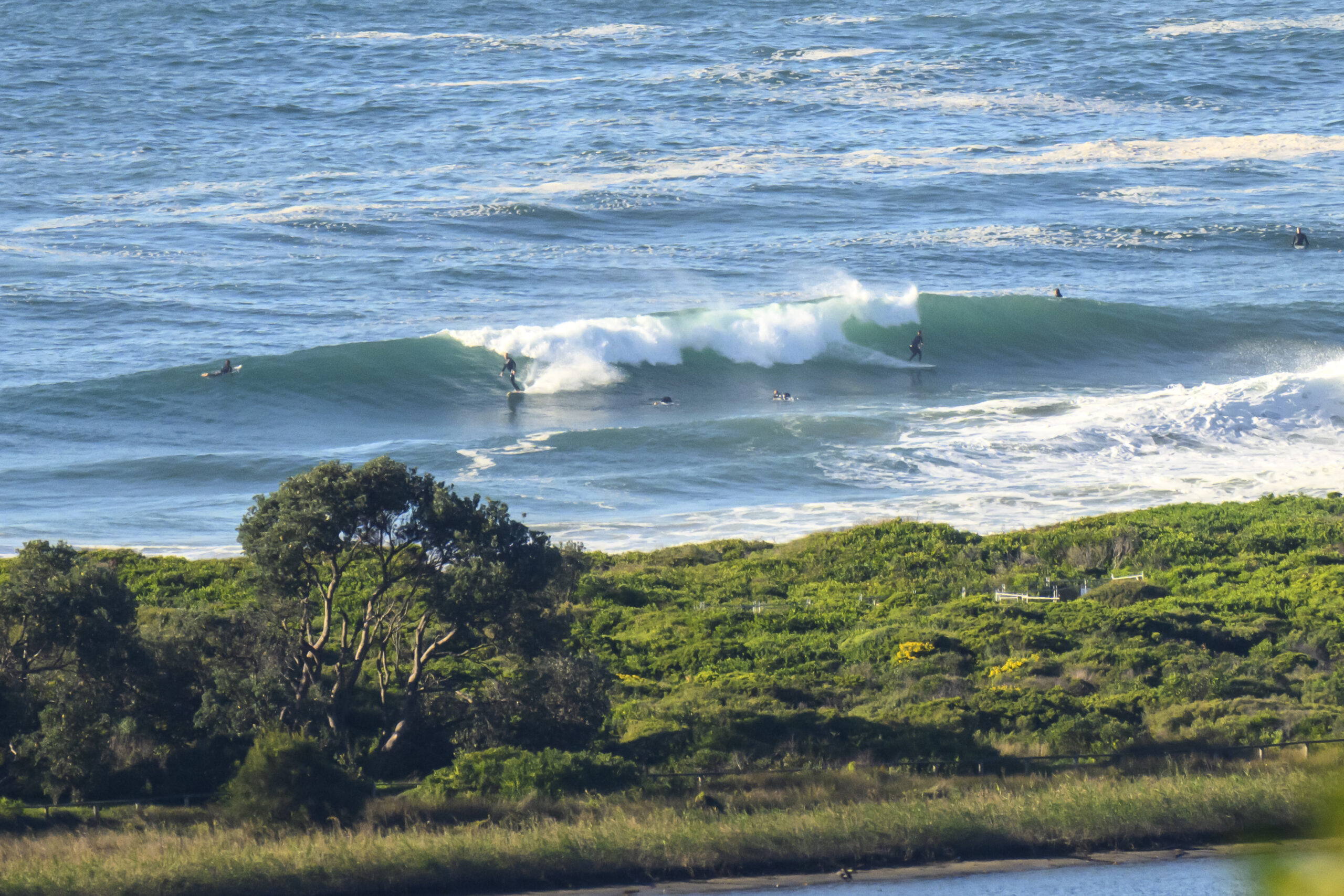
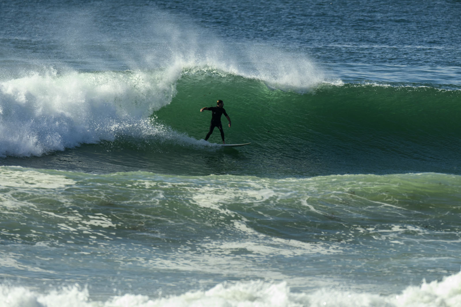
Ocean looks much better this morning. Swell is around to the east now. It was close to two metres out at the MHL buoy and the average period is about 9 seconds. We’re heading into a sunny Wednesday with light offshores for the early which are expected to wander around to SE later, but not get up to much above the 10 kt mark.
Outlook is for the swell energy to gradually decrease over the rest of the week, but as of this morning the wave forecast models are calling for it to hold around the waist to chest high range through to Saturday.
Get out there and enjoy!
TIDES: L @0920, H @1610
Weather Situation
A strong, slow-moving high pressure system over the Tasman Sea extends a ridge to the NSW south coast. A low pressure trough lies over the Coral Sea and a vigorous east to southeast airstream, between these systems, lies over the northern Tasman Sea and northern NSW coast. The trough is likely to gradually contract east across the Tasman Sea on Thursday and Friday with winds easing in the north. A weakening southwest to southerly change is expected to affect NSW coastal waters late Thursday through Friday as a cold front enters the southern Tasman Sea. Another weak southwest to southerly change may affect the coast during the weekend.
Forecast for Wednesday until midnight
Winds
Southeasterly 5 to 10 knots, although west to southwesterly inshore this morning.
Seas
Below 1 metre.
Swell
Easterly 2 metres.
Thursday 25 August
Winds
North to northeasterly 5 to 10 knots tending north to northwesterly around dawn then tending north to northeasterly 10 to 15 knots around midday.
Seas
Below 1 metre.
Swell
Northeasterly about 2 metres.
Friday 26 August
Winds
West to northwesterly about 10 knots tending south to southwesterly during the morning then tending south to southeasterly during the afternoon. Winds tending east to northeasterly 10 to 15 knots during the evening.
Seas
Below 1 metre.
Swell
Northeasterly 1.5 metres.


