Hello Friends,
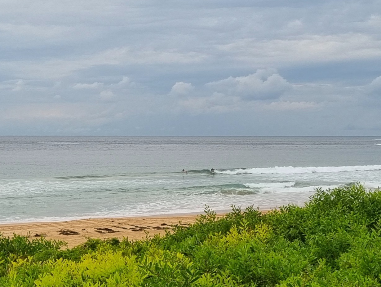
Only tiny, infrequent lines appearing at Dee Why this morning. One person was in the water up the beach from the SLSC at about 0700, but I didn’t see them come close to catching anything. I’d say you’d be doing pretty well if you found anything to propel you toward the sand this morning.
According to the MHL buoy data, the swell at sea is around the metre mark. It’s coming from the south at a reasonably healthy 10 seconds apart but there’s just not much of anything showing.
Outlook for the coming week continues to be for small to flat. Winds are expected to go around to the SE tomorrow and to stay out of the southerly quarters through to the weekend. The hopeful signs in the long range forecast of a day or two ago have become less so in this morning’s forecast round up. Oh well.
Have yourself a great Monday!
TIDES: H @0800, L @1350
Weather Situation
A cold front is expected to cross much of the state on Monday with a southerly change moving over coastal waters, strong in the south. A high pressure ridge should then extend over southern and western NSW while a weak trough lies of the north coast.
Forecast for Monday until midnight
Winds
Westerly 10 to 15 knots tending south to southwesterly during the afternoon then tending south to southeasterly at 15 to 20 knots by early evening.
Seas
Below 1 metre increasing to 1 to 1.5 metres in the evening.
Swell
Easterly 1 metre.
Weather
The chance of thunderstorms offshore late this evening.
Tuesday 30 August
Winds
South to southeasterly 15 to 20 knots tending east to southeasterly up to 10 knots by early evening.
Seas
Up to 1.5 metres.
Swell
Easterly 1 metre tending southeasterly from the morning.
Wednesday 31 August
Winds
Southeast to southwesterly 5 to 10 knots tending east to northeasterly during the evening.
Seas
Below 1 metre.
Swell
Southeasterly about 1 metre.

