
Hello Friends,
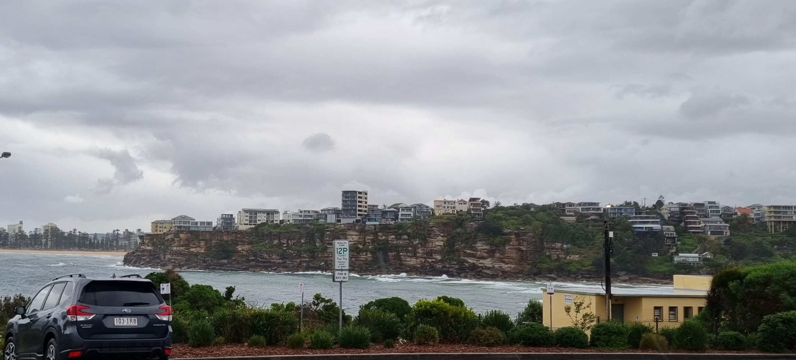
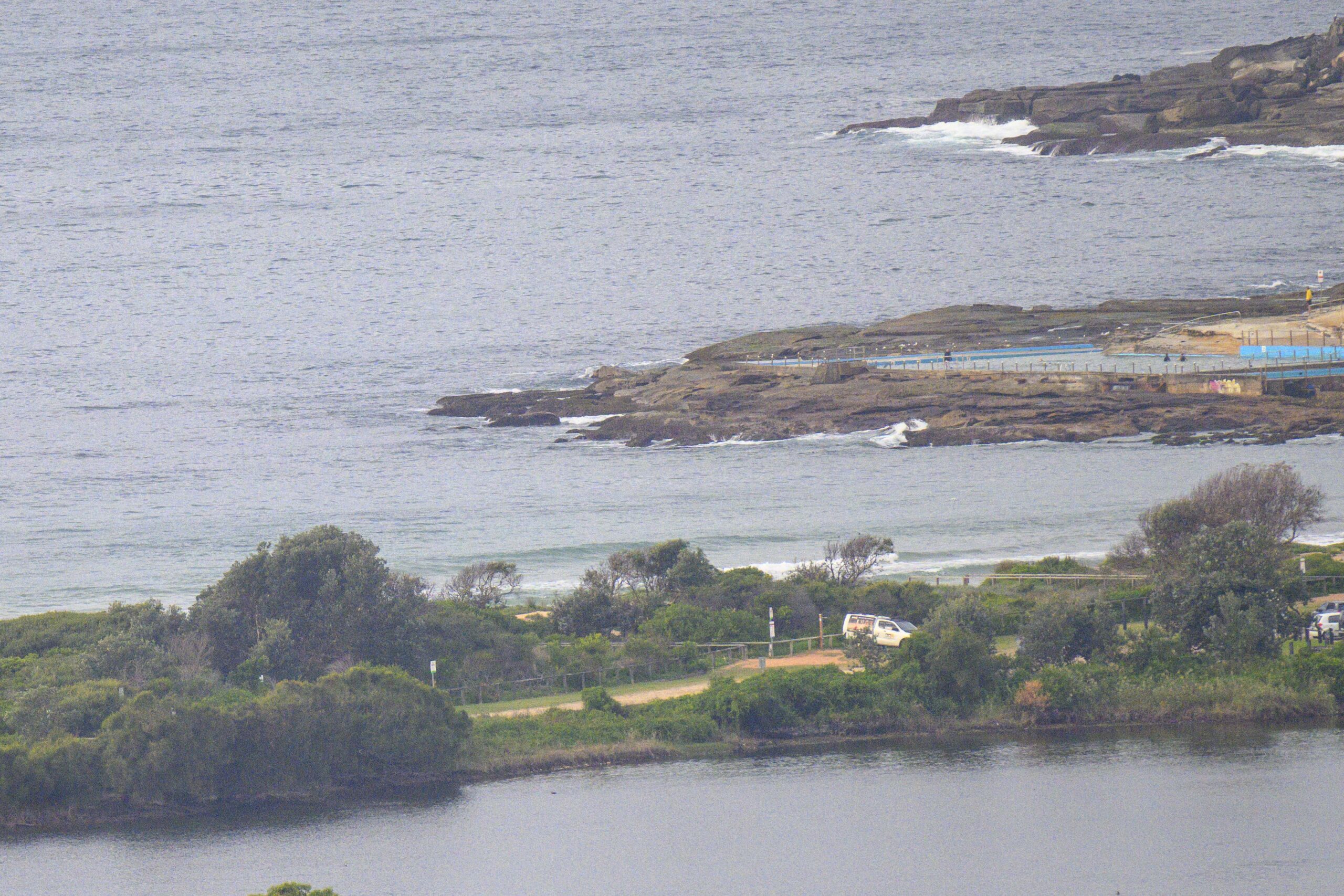
Well how ’bout that? Little waves to be had on Saturday morning thanks to a fortuitous change to the primary swell direction. It came around to the SE overnight and as the day got started the average height at sea was a touch under the two metre mark with a useful 9 second average period. This translated to set waves at Dee Why in the chest high range. Last night’s wind forecast was for a light and increasing SE’ly, but this morning the Bureau is singing a different tune. It’s now calling for light NE’ly early, pushing up into the 15-20 kt range later. The Bureau’s swell modelling is calling for the size to bump up a little as well. I reckon the north corners should be worth a look, particularly early and then again from mid-afternoon on as the tide drops back again.
Outlook is for the swell to slip back a bit overnight, but the NE’r is set to be 20-25kts, so maybe we’ll get lucky and those north corners will be offering a few little fun ones.
Beyond that, the models are basically calling for little, short period windswell waves in the mornings through the coming week.
Have yourself a top old Saturday!
Tides: L @0540, H @1210
Weather Situation
A slow-moving, strong high pressure system over the southern Tasman Sea extends a ridge to New South Wales north coast.
Forecast for Saturday until midnight
- Winds
- East to northeasterly 10 to 15 knots tending north to northeasterly 15 to 20 knots by early evening.
- Seas
- 1 to 1.5 metres increasing to 1.5 to 2 metres by early evening.
- Swell
- Southerly about 2 metres.
Sunday 4 September
- Winds
- North to northeasterly 20 to 25 knots.
- Seas
- 2 metres increasing to 3 metres by early evening.
- Swell
- Southeasterly 1 metre tending easterly from the late morning.
Monday 5 September
- Winds
-
Northerly 15 to 25 knots.
- Seas
-
2 to 3 metres.
- Swell
-
Easterly about 1.5 metres.


